
| Memorials | : | 5 |
| Location | : | Clay County, USA |
| Coordinate | : | 40.5382996, -98.1643982 |
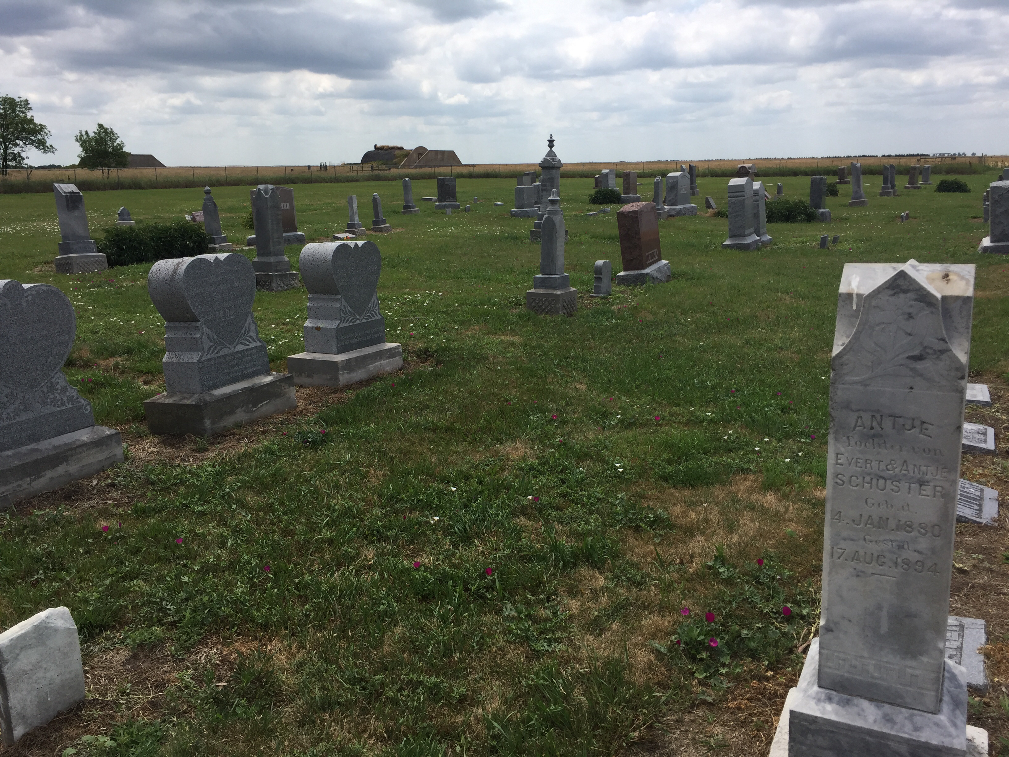
| Description | : | Zion Cemetery was originally part of the Zion Lutheran church. It is located on what is now the United States Department of Agriculture's Meat Animal Research Center. Zion is located six miles west and one mile north of Clay Center, Nebraska. Old history records often list this cemetery address as Glenvil, which is one mile south, four miles west, then one mile south, and another one mile west. Since the town of Glenvil was established before Clay Center, early settlers identified this as Glenvil territory. The Zion Lutheran congregation was organized November 11, 1890. Land for the church... Read More |
frequently asked questions (FAQ):
-
Where is Zion Cemetery?
Zion Cemetery is located at Clay County ,Nebraska ,USA.
-
Zion Cemetery cemetery's updated grave count on graveviews.com?
5 memorials
-
Where are the coordinates of the Zion Cemetery?
Latitude: 40.5382996
Longitude: -98.1643982
Nearby Cemetories:
1. Glenville Union Cemetery
Glenvil, Clay County, USA
Coordinate: 40.5308980, -98.2052220
2. South Inland Cemetery
Clay County, USA
Coordinate: 40.5682900, -98.2217500
3. Anandale Cemetery
Glenvil, Clay County, USA
Coordinate: 40.4661900, -98.1935300
4. Glenvil Cemetery
Glenvil, Clay County, USA
Coordinate: 40.5088400, -98.2604700
5. Clay Center Cemetery
Clay Center, Clay County, USA
Coordinate: 40.5325012, -98.0500031
6. Inland Cemetery
Clay County, USA
Coordinate: 40.5964012, -98.2581024
7. Harvard Cemetery
Harvard, Clay County, USA
Coordinate: 40.6123047, -98.0920258
8. Saint Pauls Lutheran Cemetery
Adams County, USA
Coordinate: 40.5104530, -98.2872960
9. Old Inland Cemetery
Hastings, Adams County, USA
Coordinate: 40.5872300, -98.2974500
10. Fleming Farm Pet Cemetery
Hastings, Adams County, USA
Coordinate: 40.5547500, -98.3156100
11. Eller Cemetery
Clay Center, Clay County, USA
Coordinate: 40.4956700, -98.0145700
12. True Dutch Reformed Cemetery
Pauline, Adams County, USA
Coordinate: 40.4801300, -98.3160600
13. Scandinavian Lutheran Cemetery
Pauline, Adams County, USA
Coordinate: 40.4800700, -98.3162900
14. First Evangelical Cemetery
Harvard, Clay County, USA
Coordinate: 40.6702995, -98.1374969
15. Fairfield Cemetery
Fairfield, Clay County, USA
Coordinate: 40.4094009, -98.0982971
16. Hanover Presbyterian Church Cemetery
Adams County, USA
Coordinate: 40.4802900, -98.3353850
17. Verona Swedish Cemetery
Clay County, USA
Coordinate: 40.5677986, -97.9764023
18. Spring Ranch Cemetery
Clay County, USA
Coordinate: 40.4065100, -98.2484100
19. Verona Danish Cemetery
Clay County, USA
Coordinate: 40.5685997, -97.9756012
20. Saint Aloysius Cemetery
Deweese, Clay County, USA
Coordinate: 40.3932991, -98.1278000
21. Mount Sinai Cemetery
Hastings, Adams County, USA
Coordinate: 40.5978012, -98.3647003
22. Marshall Union Evergreen Cemetery
Clay Center, Clay County, USA
Coordinate: 40.4880300, -97.9573000
23. Parkview Cemetery
Hastings, Adams County, USA
Coordinate: 40.5985985, -98.3677979
24. Saint Martin-Loucky Cemetery
Deweese, Clay County, USA
Coordinate: 40.3652496, -98.1948624