
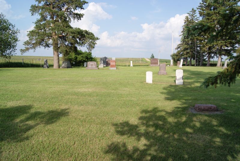
| Memorials | : | 12 |
| Location | : | Menno, Hutchinson County, USA |
| Coordinate | : | 43.1839240, -97.4204710 |
| Description | : | South of Freeman SD at intersection of Hwy 81 and 290th st. Northwest corner. |
frequently asked questions (FAQ):
-
Where is Zion Oswald Congregational Cemetery?
Zion Oswald Congregational Cemetery is located at Menno, Hutchinson County ,South Dakota ,USA.
-
Zion Oswald Congregational Cemetery cemetery's updated grave count on graveviews.com?
12 memorials
-
Where are the coordinates of the Zion Oswald Congregational Cemetery?
Latitude: 43.1839240
Longitude: -97.4204710
Nearby Cemetories:
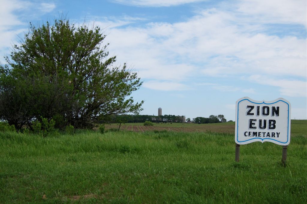
1. Zion EUB Cemetery
Molan Township, Hutchinson County, USA
Coordinate: 43.1840200, -97.4204610
2. Zion Cemetery
Hutchinson County, USA
Coordinate: 43.1842003, -97.4030991
3. North Bethlehem Cemetery
Yankton County, USA
Coordinate: 43.1403700, -97.4388700
4. Saron Reformed Cemetery
Yankton County, USA
Coordinate: 43.1537500, -97.4686700
5. Zion Evangelical Lutheran Congregation Cemetery
Hutchinson County, USA
Coordinate: 43.1842003, -97.4972000
6. Elim Cemetery
Yankton County, USA
Coordinate: 43.1511002, -97.3574982
7. New Bethlehem Cemetery
Yankton, Yankton County, USA
Coordinate: 43.1263400, -97.4389800
8. Bang Cemetery
Turner County, USA
Coordinate: 43.1997500, -97.3392000
9. Salem Community Cemetery
Turner County, USA
Coordinate: 43.2433500, -97.3995200
10. Ebenezer Reformed Cemetery
Hutchinson County, USA
Coordinate: 43.2121200, -97.5135130
11. Carlson Cemetery
Turner County, USA
Coordinate: 43.1843987, -97.3174973
12. Saint Boniface Cemetery
Turkey Ridge, Turner County, USA
Coordinate: 43.2271100, -97.3189800
13. Jamesville Colony Cemetery
Jamesville Township, Yankton County, USA
Coordinate: 43.1037170, -97.4787730
14. Knodel Cemetery
Hutchinson County, USA
Coordinate: 43.2574997, -97.4938965
15. Our Savior's East Cemetery
Yankton County, USA
Coordinate: 43.1475900, -97.5561600
16. Ogstad Cemetery
Yankton County, USA
Coordinate: 43.1549988, -97.2794037
17. Pleasant Hill Cemetery
Vedin Corner, Yankton County, USA
Coordinate: 43.0752000, -97.4092400
18. Saint Columba Catholic Cemetery
Mayfield, Yankton County, USA
Coordinate: 43.0967000, -97.3192000
19. Spring Valley Lutheran Cemetery
Spring Valley, Turner County, USA
Coordinate: 43.1985500, -97.2605000
20. Spring Valley Baptist Cemetery
Spring Valley, Turner County, USA
Coordinate: 43.2277000, -97.2694000
21. Braunesreuther Family Cemetery
Utica, Yankton County, USA
Coordinate: 43.0629400, -97.4762600
22. Huber Cemetery #3
Hutchinson County, USA
Coordinate: 43.2958080, -97.5061890
23. Our Savior's West Cemetery
Yankton County, USA
Coordinate: 43.1637300, -97.5947900
24. Unruh Family Cemetery
Turner County, USA
Coordinate: 43.2801000, -97.3019500