
| Memorials | : | 0 |
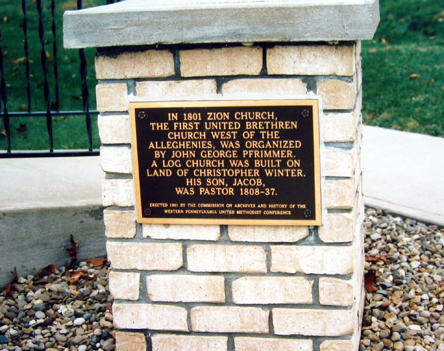
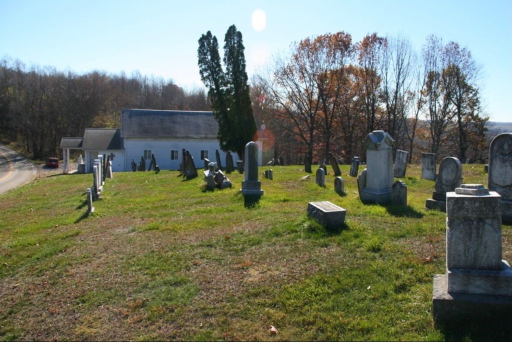
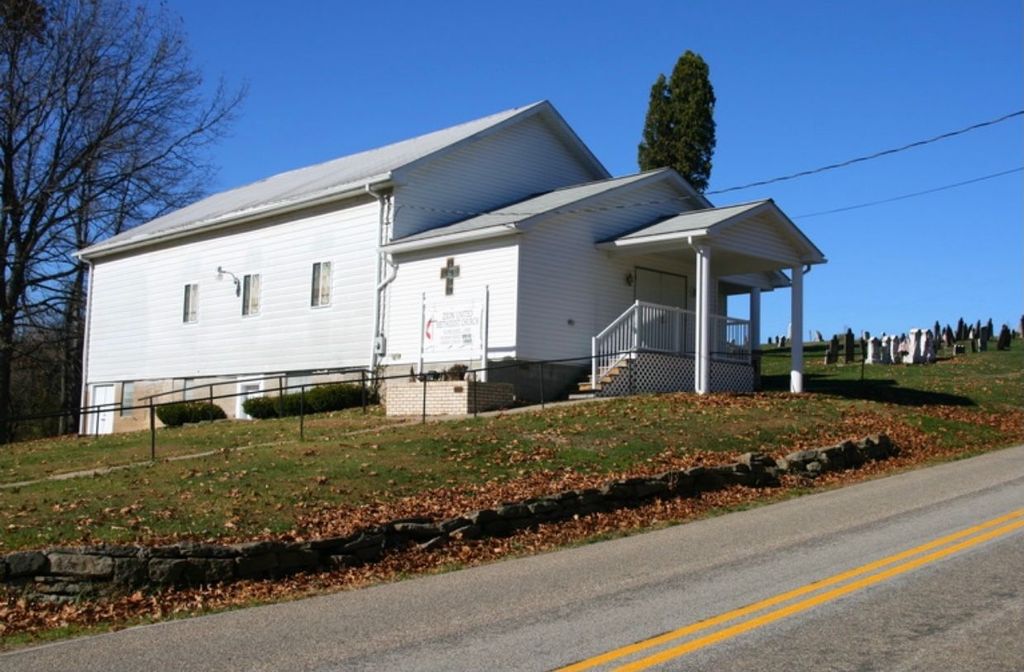
| Location | : | Donegal Township, Washington County, USA |
| Coordinate | : | 40.1716920, -80.4552910 |
frequently asked questions (FAQ):
-
Where is Zion United Methodist Church Cemetery?
Zion United Methodist Church Cemetery is located at Pennsylvania 231 Donegal Township, Washington County ,Pennsylvania , 15323USA.
-
Zion United Methodist Church Cemetery cemetery's updated grave count on graveviews.com?
0 memorials
-
Where are the coordinates of the Zion United Methodist Church Cemetery?
Latitude: 40.1716920
Longitude: -80.4552910

Nearby Cemetories:
1. Miller Cemetery
Claysville, Washington County, USA
Coordinate: 40.1414500, -80.4675600
2. Hupp Cemetery
Washington County, USA
Coordinate: 40.1377983, -80.4835968
3. Mount Hope Cemetery
Washington County, USA
Coordinate: 40.2219009, -80.4625015
4. Purviance Cemetery
Claysville, Washington County, USA
Coordinate: 40.1170000, -80.4160000
5. Claysville Cemetery
Claysville, Washington County, USA
Coordinate: 40.1215668, -80.4051132
6. Campbell Cemetery
Bethany, Brooke County, USA
Coordinate: 40.2054430, -80.5467340
7. Bethany Community Cemetery
Brooke County, USA
Coordinate: 40.2054130, -80.5477620
8. Bethany Church of Christ Cemetery
Bethany, Brooke County, USA
Coordinate: 40.2061730, -80.5539410
9. Historic Bethany Church of Christ Cemetery
Bethany, Brooke County, USA
Coordinate: 40.2063866, -80.5542908
10. South Buffalo Cemetery
Claysville, Washington County, USA
Coordinate: 40.1227989, -80.3660965
11. Independence Cemetery
Independence, Washington County, USA
Coordinate: 40.2531013, -80.4916992
12. Buffalo Cemetery
Buffalo Village, Washington County, USA
Coordinate: 40.2238000, -80.3605000
13. North Buffalo Presbyterian Cemetery
Buffalo Township, Washington County, USA
Coordinate: 40.2009000, -80.3437000
14. Lower Buffalo Cemetery
Brooke County, USA
Coordinate: 40.2435989, -80.5297012
15. Cox Cemetery
West Liberty, Ohio County, USA
Coordinate: 40.1707993, -80.5802994
16. East Buffalo Presbyterian Church Cemetery
Washington County, USA
Coordinate: 40.1380000, -80.3281000
17. Faris Family Cemetery
Ohio County, USA
Coordinate: 40.1201000, -80.5727800
18. West Liberty Cemetery
West Liberty, Ohio County, USA
Coordinate: 40.1674995, -80.5939026
19. Prall Cemetery
West Liberty, Ohio County, USA
Coordinate: 40.1675040, -80.5992960
20. Dement Cemetery
West Liberty, Ohio County, USA
Coordinate: 40.1244380, -80.5911110
21. Dogwood Grove Cemetery
Good Intent, Washington County, USA
Coordinate: 40.0577750, -80.4248570
22. Morgan Cemetery
West Liberty, Ohio County, USA
Coordinate: 40.1469002, -80.6042023
23. West Point Cemetery
Avella, Washington County, USA
Coordinate: 40.2891500, -80.4457700
24. Saint Johns Cemetery
Avella, Washington County, USA
Coordinate: 40.2893000, -80.4447300