

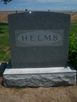
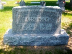
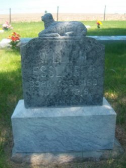
Alma Anna Katharina Helms Esslinger
| Birth | : | 22 May 1893 Gosper County, Nebraska, USA |
| Death | : | 29 Apr 1976 Arapahoe, Furnas County, Nebraska, USA |
| Burial | : | Happy Valley Missionary Baptist Church Cemetery, Tallassee, Blount County, USA |
| Coordinate | : | 35.6096992, -83.9550018 |
frequently asked questions (FAQ):
-
Where is Alma Anna Katharina Helms Esslinger's memorial?
Alma Anna Katharina Helms Esslinger's memorial is located at: Happy Valley Missionary Baptist Church Cemetery, Tallassee, Blount County, USA.
-
When did Alma Anna Katharina Helms Esslinger death?
Alma Anna Katharina Helms Esslinger death on 29 Apr 1976 in Arapahoe, Furnas County, Nebraska, USA
-
Where are the coordinates of the Alma Anna Katharina Helms Esslinger's memorial?
Latitude: 35.6096992
Longitude: -83.9550018
Family Members:
Parent

Spouse
Siblings
Children
Flowers:


Nearby Cemetories:
1. Happy Valley Missionary Baptist Church Cemetery
Tallassee, Blount County, USA
Coordinate: 35.6096992, -83.9550018
2. Boone Cemetery
Blount County, USA
Coordinate: 35.6072006, -83.9669037
3. Chilhowee Primitive Baptist Church Cemetery
Happy Valley, Blount County, USA
Coordinate: 35.5858002, -83.9858017
4. Walker Family Cemetery
Maryville, Blount County, USA
Coordinate: 35.6484090, -83.9667250
5. New Providence Primitive Baptist Cemetery
Maryville, Blount County, USA
Coordinate: 35.6474991, -83.9860992
6. Mountain View Church of Christ Cemetery
Maryville, Blount County, USA
Coordinate: 35.6371994, -84.0006027
7. Six Mile Cemetery
Blount County, USA
Coordinate: 35.6643982, -83.9574966
8. Old Kagleys Cemetery
Maryville, Blount County, USA
Coordinate: 35.6294680, -84.0206430
9. Liberty Christian Church Cemetery
Montvale, Blount County, USA
Coordinate: 35.6681300, -83.9657700
10. Kelcie Young Farm Cemetery
Blount County, USA
Coordinate: 35.6376000, -84.0273000
11. Kagleys Chapel Cemetery
Sixmile, Blount County, USA
Coordinate: 35.6183014, -84.0397034
12. Buchanan Cemetery
Blount County, USA
Coordinate: 35.6528015, -83.8858032
13. Carpenters Campground Cemetery
Maryville, Blount County, USA
Coordinate: 35.6719017, -84.0008011
14. Old Piney Grove Cemetery
Blount County, USA
Coordinate: 35.6856003, -83.9328003
15. Allegheny Baptist Church Cemetery
Maryville, Blount County, USA
Coordinate: 35.5923040, -84.0510180
16. Maple Grove Missionary Baptist Church Cemetery
Maryville, Blount County, USA
Coordinate: 35.6853680, -84.0066150
17. Hamil Cemetery
Maryville, Blount County, USA
Coordinate: 35.6884110, -84.0051150
18. Centenary Baptist Church Cemetery
Maryville, Blount County, USA
Coordinate: 35.6411018, -84.0582962
19. Lambert Cemetery
Blount County, USA
Coordinate: 35.6316986, -84.0674973
20. Noah Burchfield Cemetery
Cades Cove, Blount County, USA
Coordinate: 35.5964300, -83.8390800
21. Forest Hill Cemetery
Maryville, Blount County, USA
Coordinate: 35.7052994, -83.9674988
22. Cable Family Cemetery
Blount County, USA
Coordinate: 35.5863991, -83.8386002
23. Long Crooked Creek Family Cemetery
Maryville, Blount County, USA
Coordinate: 35.7071700, -83.9617900
24. Nelson Chapel Cemetery
Blount County, USA
Coordinate: 35.6068993, -84.0757980