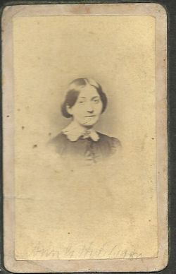
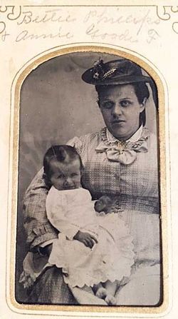
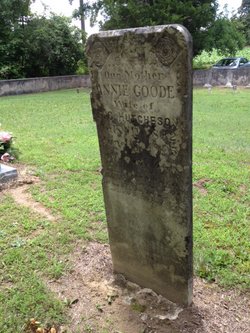
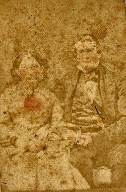
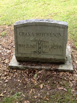
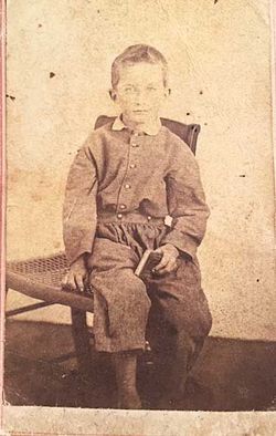
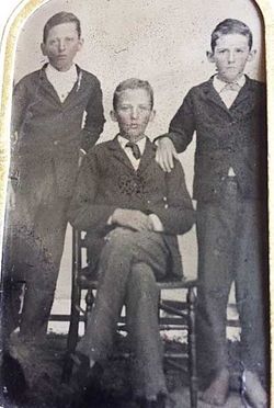
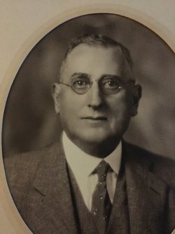
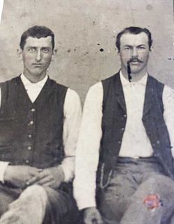
Anne Nancy Goode “Annie” Farrar Hutcheson
| Birth | : | 11 Jul 1832 Baskerville, Mecklenburg County, Virginia, USA |
| Death | : | 17 Jun 1905 Baskerville, Mecklenburg County, Virginia, USA |
| Burial | : | Hillcrest Cemetery, Smiths Falls, Lanark County, Canada |
| Coordinate | : | 44.9093330, -76.0402590 |
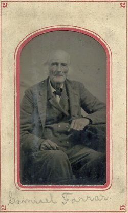
| Description | : | Daughter of Samuel L Farrar and second wife, Lucy Ann Hudson, of Mecklenburg County, VA. her parents were married 4/3/1826. Prior to Annie's 1855 marriage, she is shown on the 1850 census in her father's family with her step-mother, Rebecca (W. Eubank) and her 9 siblings. Her youngest brother, James is listed as 5 years old. So her mother, Lucy, must have died sometime between 1845 and Samuel's third marriage to Rebecca on Aug. 8, 1848. |
frequently asked questions (FAQ):
-
Where is Anne Nancy Goode “Annie” Farrar Hutcheson's memorial?
Anne Nancy Goode “Annie” Farrar Hutcheson's memorial is located at: Hillcrest Cemetery, Smiths Falls, Lanark County, Canada.
-
When did Anne Nancy Goode “Annie” Farrar Hutcheson death?
Anne Nancy Goode “Annie” Farrar Hutcheson death on 17 Jun 1905 in Baskerville, Mecklenburg County, Virginia, USA
-
Where are the coordinates of the Anne Nancy Goode “Annie” Farrar Hutcheson's memorial?
Latitude: 44.9093330
Longitude: -76.0402590
Family Members:
Spouse
Children
Flowers:
Nearby Cemetories:
1. Hillcrest Cemetery
Smiths Falls, Lanark County, Canada
Coordinate: 44.9093330, -76.0402590
2. Saint John's Anglican Church Cemetery
Smiths Falls, Lanark County, Canada
Coordinate: 44.9110110, -76.0260180
3. Saint Francis de Sales Cemetery
Numogate, Lanark County, Canada
Coordinate: 44.9432300, -76.0354700
4. Maple Vale Cemetery
South Elmsley, Leeds and Grenville United Counties, Canada
Coordinate: 44.8774300, -76.0152600
5. McVean Cemetery
Numogate, Lanark County, Canada
Coordinate: 44.9534830, -76.0461890
6. Saint James Anglican Cemetery
Port Elmsley, Lanark County, Canada
Coordinate: 44.8917210, -76.1153860
7. Saint Bede's Anglican Cemetery
Smiths Falls, Lanark County, Canada
Coordinate: 44.9549520, -75.9801190
8. VanDusen Cemetery
Rosedale, Lanark County, Canada
Coordinate: 44.8953400, -75.9472800
9. Blessed Sacrament Cemetery
Lombardy, Leeds and Grenville United Counties, Canada
Coordinate: 44.8232500, -76.0866200
10. Holy Trinity Anglican Cemetery
Lombardy, Leeds and Grenville United Counties, Canada
Coordinate: 44.8227720, -76.0861150
11. Lumbar Family Cemetery
Lombardy, Leeds and Grenville United Counties, Canada
Coordinate: 44.8220550, -76.0860940
12. Wolford Rural Cemetery
Jasper, Leeds and Grenville United Counties, Canada
Coordinate: 44.8611300, -75.9256100
13. Lombardy Methodist Cemetery
Lombardy, Leeds and Grenville United Counties, Canada
Coordinate: 44.8205630, -76.0932530
14. Rideau Ferry Cemetery
Rideau Ferry, Lanark County, Canada
Coordinate: 44.8568700, -76.1634000
15. Campbell Cemetery
Perth, Lanark County, Canada
Coordinate: 44.9241486, -76.1950183
16. Millar Brooke Farm Cemetery
Lanark County, Canada
Coordinate: 44.8791300, -76.1973330
17. Forbes Cemetery
Motts Mills, Leeds and Grenville United Counties, Canada
Coordinate: 44.7961807, -76.0087891
18. Barton Family Burial Site
Merrickville, Leeds and Grenville United Counties, Canada
Coordinate: 44.9021940, -75.8770240
19. Christ Church Pioneer Cemetery
Montague, Lanark County, Canada
Coordinate: 45.0025270, -75.9364830
20. Easton's Corners United Church Cemetery
Eastons Corners, Leeds and Grenville United Counties, Canada
Coordinate: 44.8365570, -75.8842990
21. St. Anne's Anglican Cemetery
Jasper, Leeds and Grenville United Counties, Canada
Coordinate: 44.8362400, -75.8833400
22. Saint John's Parish Cemetery
Perth, Lanark County, Canada
Coordinate: 44.9055700, -76.2316700
23. Saint Paul's United Church Cemetery
Perth, Lanark County, Canada
Coordinate: 44.8963120, -76.2363810
24. Franktown Public Cemetery
Franktown, Lanark County, Canada
Coordinate: 45.0494280, -76.0551910

