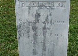
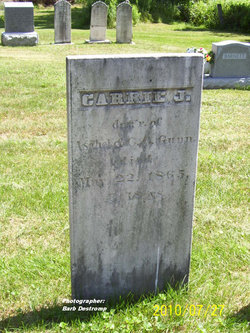
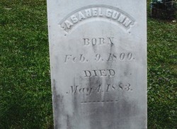
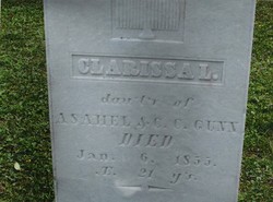
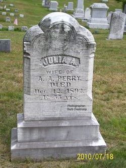
Caroline J “Carrie” Gunn
| Birth | : | 1847 |
| Death | : | 22 May 1865 Cabot, Washington County, Vermont, USA |
| Burial | : | Golders Green Crematorium, Golders Green, London Borough of Barnet, England |
| Coordinate | : | 51.5770416, -0.1936610 |
frequently asked questions (FAQ):
-
Where is Caroline J “Carrie” Gunn's memorial?
Caroline J “Carrie” Gunn's memorial is located at: Golders Green Crematorium, Golders Green, London Borough of Barnet, England.
-
When did Caroline J “Carrie” Gunn death?
Caroline J “Carrie” Gunn death on 22 May 1865 in Cabot, Washington County, Vermont, USA
-
Where are the coordinates of the Caroline J “Carrie” Gunn's memorial?
Latitude: 51.5770416
Longitude: -0.1936610
Family Members:
Parent
Siblings
Flowers:
Nearby Cemetories:
1. Golders Green Crematorium
Golders Green, London Borough of Barnet, England
Coordinate: 51.5770416, -0.1936610
2. Hoop Lane Jewish Cemetery
Golders Green, London Borough of Barnet, England
Coordinate: 51.5774918, -0.1944710
3. East Finchley Cemetery and Crematorium
East Finchley, London Borough of Barnet, England
Coordinate: 51.5923843, -0.1812660
4. Christ Churchyard
Hendon, London Borough of Barnet, England
Coordinate: 51.5850530, -0.2197860
5. Holy Trinity Churchyard
East Finchley, London Borough of Barnet, England
Coordinate: 51.5921090, -0.1739140
6. Hampstead Cemetery
Hampstead, London Borough of Camden, England
Coordinate: 51.5562859, -0.1969390
7. Saint Mary-at-Finchley Churchyard
Finchley, London Borough of Barnet, England
Coordinate: 51.5998300, -0.1977700
8. St John-at-Hampstead Churchyard
Hampstead, London Borough of Camden, England
Coordinate: 51.5555080, -0.1808020
9. St Mary Churchyard
Hendon, London Borough of Barnet, England
Coordinate: 51.5915150, -0.2276940
10. Hendon Cemetery and Crematorium
Hendon, London Borough of Barnet, England
Coordinate: 51.6013184, -0.2094990
11. Islington and St Pancras Cemetery
East Finchley, London Borough of Barnet, England
Coordinate: 51.5987600, -0.1673500
12. St. Michael's Chapel Highgate School Cemetery
Highgate, London Borough of Camden, England
Coordinate: 51.5713000, -0.1493500
13. St Michael's Churchyard
Highgate, London Borough of Camden, England
Coordinate: 51.5688720, -0.1503310
14. Highgate Cemetery West
Highgate, London Borough of Camden, England
Coordinate: 51.5674019, -0.1486000
15. Westfield College Chapel
Hampstead, London Borough of Camden, England
Coordinate: 51.5471000, -0.1774000
16. Highgate Cemetery East
Highgate, London Borough of Camden, England
Coordinate: 51.5656013, -0.1446000
17. Paddington Old Cemetery
London Borough of Brent, England
Coordinate: 51.5406010, -0.2043930
18. Mill Hill Cemetery
Mill Hill, London Borough of Barnet, England
Coordinate: 51.6118760, -0.2238940
19. Kentish Town St John the Baptist
Kentish Town, London Borough of Camden, England
Coordinate: 51.5524780, -0.1425450
20. Willesden United Synagogue Cemetery
Willesden, London Borough of Brent, England
Coordinate: 51.5476837, -0.2420320
21. Liberal Jewish Cemetery
Willesden, London Borough of Brent, England
Coordinate: 51.5436090, -0.2379920
22. Willesden New Cemetery
Willesden, London Borough of Brent, England
Coordinate: 51.5464920, -0.2454970
23. St. Mary's Churchyard
Willesden, London Borough of Brent, England
Coordinate: 51.5489990, -0.2498730
24. St. James The Great Churchyard
Friern Barnet, London Borough of Barnet, England
Coordinate: 51.6209510, -0.1633470

