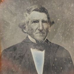
Deacon Abraham Sanborn
| Birth | : | 24 Dec 1744 Brentwood, Rockingham County, New Hampshire, USA |
| Death | : | 5 Oct 1820 Unity, Sullivan County, New Hampshire, USA |
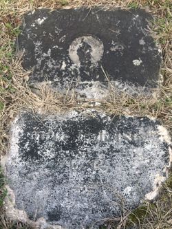
| Burial | : | Jones Cemetery, Urbanette, Carroll County, USA |
| Coordinate | : | 36.4282990, -93.5203018 |
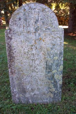
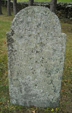
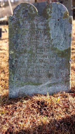
| Inscription | : | In memory of Dea Abraham Sanborn who departed this life Oct 5. 1820 in the 76th year of his age. |
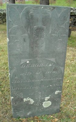
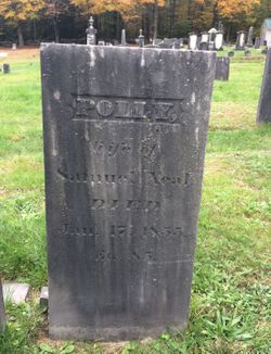
| Description | : | son of Daniel Sanborn and Abigail Prescott He was one of the early proprietors and settlers of Unity, probably there by 1772 when his first son was born at Unity. He signed the Associations Test at Unity. Abraham was a deacon in the Baptist Church in Unity. m Deborah Wilson on Nov 10, 1768 Children: - Polly Sanborn (1769-1855) m Samuel Neal - Abraham Sanborn (1772-1815) m Polly Odiorne - Isaac Sanborn (1774-1774) - Deborah Sanborn (1775-1778) - Abigail Prescott Sanborn (1777-1854) m Jeremiah Wilson - Nancy Sanborn (1780-) m John Gale - Deborah Sanborn (1783-) m Andrew Rogers/Royce (discrepancy in sources) - Isaac Sanborn (1785-1845) m Mercy Gale - Jacob Sanborn... Read More |
frequently asked questions (FAQ):
-
Where is Deacon Abraham Sanborn's memorial?
Deacon Abraham Sanborn's memorial is located at: Jones Cemetery, Urbanette, Carroll County, USA.
-
When did Deacon Abraham Sanborn death?
Deacon Abraham Sanborn death on 5 Oct 1820 in Unity, Sullivan County, New Hampshire, USA
-
Where are the coordinates of the Deacon Abraham Sanborn's memorial?
Latitude: 36.4282990
Longitude: -93.5203018
Family Members:
Spouse
Children
Flowers:
Nearby Cemetories:
1. Jones Cemetery
Urbanette, Carroll County, USA
Coordinate: 36.4282990, -93.5203018
2. Blackjack Cemetery
Carroll County, USA
Coordinate: 36.4179000, -93.5557000
3. High Cemetery
Berryville, Carroll County, USA
Coordinate: 36.4733000, -93.5317000
4. Bunch Cemetery
Berryville, Carroll County, USA
Coordinate: 36.4053001, -93.5761032
5. Hale Cemetery
Berryville, Carroll County, USA
Coordinate: 36.4580730, -93.4667500
6. Jones-Minick Cemetery
Oak Grove, Carroll County, USA
Coordinate: 36.4679700, -93.4619100
7. Williams Cemetery
Berryville, Carroll County, USA
Coordinate: 36.4919014, -93.5558014
8. Burris Cemetery
Cisco, Carroll County, USA
Coordinate: 36.3652992, -93.4807968
9. Marshall Cemetery
Carroll County, USA
Coordinate: 36.4738998, -93.5903015
10. Old Berryville Cemetery
Berryville, Carroll County, USA
Coordinate: 36.3635048, -93.5685450
11. Carr Cemetery
Carroll County, USA
Coordinate: 36.4880981, -93.5802994
12. New Home Cemetery
Green Forest, Carroll County, USA
Coordinate: 36.3753014, -93.4471970
13. Berryville Memorial Cemetery
Berryville, Carroll County, USA
Coordinate: 36.3683014, -93.5847015
14. Moreland Cemetery
Carroll County, USA
Coordinate: 36.4597015, -93.6168976
15. Pleasant Valley Cemetery
Carroll County, USA
Coordinate: 36.3821983, -93.6113968
16. Grandview Cemetery
Grandview, Carroll County, USA
Coordinate: 36.4339750, -93.6291670
17. Rush Cemetery
Berryville, Carroll County, USA
Coordinate: 36.3507996, -93.5800018
18. Briley Cemetery
Berryville, Carroll County, USA
Coordinate: 36.3358002, -93.5314026
19. Parker Cemetery
Carroll County, USA
Coordinate: 36.3863983, -93.4139023
20. Fair Grove Cemetery
Green Forest, Carroll County, USA
Coordinate: 36.3433000, -93.4619000
21. Snow Cemetery
Green Forest, Carroll County, USA
Coordinate: 36.3288002, -93.5220032
22. TB Jackson Homestead Cemetery
Grandview, Carroll County, USA
Coordinate: 36.4368400, -93.6469900
23. Yocum Cemetery
Yocum, Carroll County, USA
Coordinate: 36.4164009, -93.3921967
24. Thomas H. Morland Family Cemetery
Pleasant Ridge, Carroll County, USA
Coordinate: 36.4889200, -93.6254900

