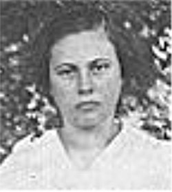
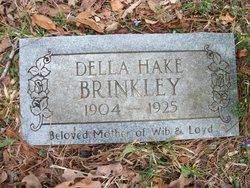
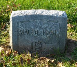
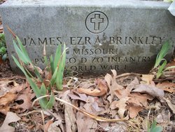
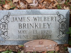
Della Rose Hake Brinkley
| Birth | : | 12 Sep 1903 Annapolis, Iron County, Missouri, USA |
| Death | : | 2 Jun 1925 Poplar Bluff, Butler County, Missouri, USA |
| Burial | : | Alwood Cemetery, Reynolds County, USA |
| Coordinate | : | 37.0788994, -90.7928009 |
| Description | : | Mother of Wib & Loyd |
frequently asked questions (FAQ):
-
Where is Della Rose Hake Brinkley's memorial?
Della Rose Hake Brinkley's memorial is located at: Alwood Cemetery, Reynolds County, USA.
-
When did Della Rose Hake Brinkley death?
Della Rose Hake Brinkley death on 2 Jun 1925 in Poplar Bluff, Butler County, Missouri, USA
-
Where are the coordinates of the Della Rose Hake Brinkley's memorial?
Latitude: 37.0788994
Longitude: -90.7928009
Family Members:
Parent
Spouse
Siblings
Children
Nearby Cemetories:
1. Alwood Cemetery
Reynolds County, USA
Coordinate: 37.0788994, -90.7928009
2. Webb Cemetery
Reynolds, Reynolds County, USA
Coordinate: 37.0969009, -90.8146973
3. Potter Cemetery
Ellington, Reynolds County, USA
Coordinate: 37.1086006, -90.8544006
4. Skiles Cemetery
Reynolds County, USA
Coordinate: 37.1333008, -90.8432999
5. Copeland Cemetery
Reynolds County, USA
Coordinate: 37.1222000, -90.8711014
6. Gresham Cemetery
Carter County, USA
Coordinate: 37.0195540, -90.8574830
7. Helvey Cemetery
Reynolds County, USA
Coordinate: 37.1272011, -90.8707962
8. Boyer Cemetery
Carter County, USA
Coordinate: 37.0107994, -90.7350006
9. Doe Run Cemetery
Reynolds County, USA
Coordinate: 37.1511002, -90.8486023
10. Yount Cemetery
Reynolds County, USA
Coordinate: 37.0657800, -90.9093100
11. Sheets Cemetery
Carter County, USA
Coordinate: 37.0522003, -90.9246979
12. Robertson Cemetery
Ellsinore, Carter County, USA
Coordinate: 36.9752998, -90.7481003
13. Raymers Cemetery
Carter County, USA
Coordinate: 36.9692001, -90.7857971
14. Whites Mill Cemetery
Ellsinore, Carter County, USA
Coordinate: 36.9688988, -90.7814026
15. Pine Lawn Cemetery
Ellsinore, Carter County, USA
Coordinate: 36.9877700, -90.8740460
16. Odell Cemetery
Reynolds County, USA
Coordinate: 37.1086006, -90.9325027
17. Tedder Cemetery
Van Buren, Carter County, USA
Coordinate: 37.0386009, -90.9306030
18. Harris Cemetery
Carter County, USA
Coordinate: 37.0038986, -90.9182968
19. Bethlehem Cemetery
Ellington, Reynolds County, USA
Coordinate: 37.1432991, -90.9344025
20. Seematter Cemetery
Reynolds County, USA
Coordinate: 37.2146988, -90.7680969
21. Pinedale Cemetery
Reynolds County, USA
Coordinate: 37.2057991, -90.8696976
22. Brame Cemetery
Van Buren, Carter County, USA
Coordinate: 37.0297012, -90.9655991
23. Upper Doe Run Cemetery
Reynolds County, USA
Coordinate: 37.1921997, -90.9100037
24. John Carter Family Cemetery
Ellsinore, Carter County, USA
Coordinate: 36.9342893, -90.7402382

