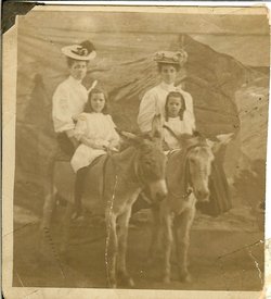
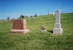
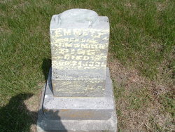
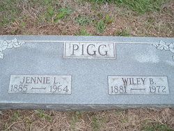
Eliza Pigg Potter
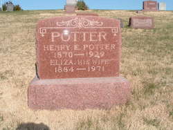
| Birth | : | 29 Nov 1883 |
| Death | : | 22 Oct 1971 |
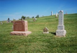
| Burial | : | Hannah Cemetery, Hannah, Cavalier County, USA |
| Coordinate | : | 48.9780998, -98.6849976 |
| Plot | : | Section 6 |
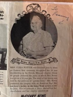
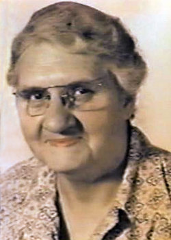
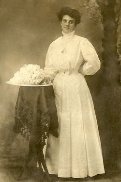
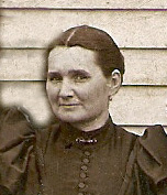
| Description | : | Ray County, Missouri Obituaries (Unknown newspapers) Mrs. Eliza Potter, 88, lifelong resident of Orrick, died at 5:30 o'clock this morning Nov. 29, 1971, at the Smithville community hospital following an illness of several years. She had been at the Smithville Convalescent Center for sometime. She was born Oct. 22, 1883, in Orrick, a daughter of John Madison and Millie (Tucker) Pigg. She was a member of the Orrick United Methodist church and Order Eastern Star No. 8, Orrick. For a number of years she and her husband operated the telephone exhange in Orrick. Mrs. Potter also was a cook at the... Read More |
frequently asked questions (FAQ):
-
Where is Eliza Pigg Potter's memorial?
Eliza Pigg Potter's memorial is located at: Hannah Cemetery, Hannah, Cavalier County, USA.
-
When did Eliza Pigg Potter death?
Eliza Pigg Potter death on 22 Oct 1971 in
-
Where are the coordinates of the Eliza Pigg Potter's memorial?
Latitude: 48.9780998
Longitude: -98.6849976
Family Members:
Parent
Spouse
Siblings
Children
Nearby Cemetories:
1. Hannah Cemetery
Hannah, Cavalier County, USA
Coordinate: 48.9780998, -98.6849976
2. Snowflake Community Cemetery
Snowflake, Pilot Mound Census Division, Canada
Coordinate: 49.0296400, -98.6118900
3. Snowflake Lutheran Cemetery
Snowflake, Pilot Mound Census Division, Canada
Coordinate: 49.0152400, -98.5856800
4. Saint Michaels Cemetery
Dresden Township, Cavalier County, USA
Coordinate: 48.8983890, -98.5952650
5. Byron Cemetery
Byron Township, Cavalier County, USA
Coordinate: 48.9644012, -98.8356018
6. Saint Johns Lutheran Cemetery
Dresden, Cavalier County, USA
Coordinate: 48.8471880, -98.5449210
7. Woodbridge Cemetery
Cypress Township, Cavalier County, USA
Coordinate: 48.9817009, -98.9344025
8. McKenzie Cemetery
La Rivière, Pilot Mound Census Division, Canada
Coordinate: 49.1373890, -98.6084490
9. Jackson Cemetery
Windygates, Pilot Mound Census Division, Canada
Coordinate: 49.0299800, -98.4253300
10. Saint Mary Anglican Cemetery
Kaleida, Pilot Mound Census Division, Canada
Coordinate: 49.1177320, -98.5145600
11. Redeemer Cemetery
South Dresden Township, Cavalier County, USA
Coordinate: 48.8478012, -98.4781036
12. Saint Luke Anglican Cemetery
Pembina, Pilot Mound Census Division, Canada
Coordinate: 49.1496550, -98.5603900
13. Our Saviors Cemetery
Wales, Cavalier County, USA
Coordinate: 48.7826970, -98.6381790
14. Mount Carmel Catholic Cemetery
Mount Carmel Township, Cavalier County, USA
Coordinate: 48.9347860, -98.3879290
15. Corinthian Cemetery
Calvin, Cavalier County, USA
Coordinate: 48.8622017, -98.9356003
16. Sarles Cemetery
Sarles, Cavalier County, USA
Coordinate: 48.9436290, -98.9900330
17. Bethel Cemetery
Waterloo Township, Cavalier County, USA
Coordinate: 48.7827988, -98.5830994
18. North Unity Mennonite Cemetery
Langdon, Cavalier County, USA
Coordinate: 48.7579750, -98.6077290
19. Evangelical Cemetery
Huron Township, Cavalier County, USA
Coordinate: 48.7766991, -98.8460999
20. Salem Evangelical Cemetery
Clyde, Cavalier County, USA
Coordinate: 48.7766500, -98.8465600
21. Crystal City Cemetery
Crystal City, Pilot Mound Census Division, Canada
Coordinate: 49.1415472, -98.9532750
22. Clyde Cemetery
Bruce Township, Cavalier County, USA
Coordinate: 48.7764015, -98.8891983
23. Bethel Mennonite Cemetery
Waterloo Township, Cavalier County, USA
Coordinate: 48.7467563, -98.5715999
24. Greenway Family Cemetery
Crystal City, Pilot Mound Census Division, Canada
Coordinate: 49.1534410, -98.9532030

