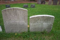
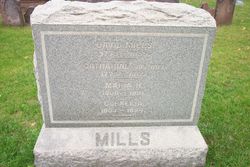
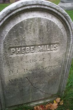
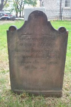
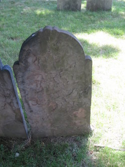
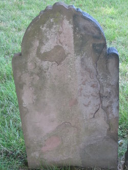
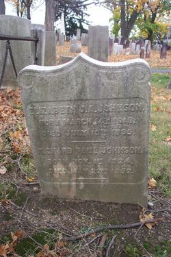
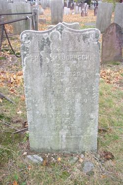
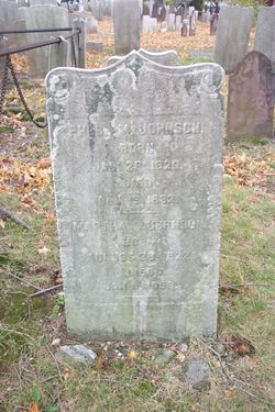
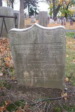
Elizabeth Mills Johnson
| Birth | : | 21 Dec 1783 Morristown, Morris County, New Jersey, USA |
| Death | : | 22 Mar 1864 Morristown, Morris County, New Jersey, USA |
| Burial | : | Friedhof Madiswil, Madiswil, Verwaltungskreis Oberaargau, Switzerland |
| Coordinate | : | 47.1698664, 7.8004798 |
frequently asked questions (FAQ):
-
Where is Elizabeth Mills Johnson's memorial?
Elizabeth Mills Johnson's memorial is located at: Friedhof Madiswil, Madiswil, Verwaltungskreis Oberaargau, Switzerland.
-
When did Elizabeth Mills Johnson death?
Elizabeth Mills Johnson death on 22 Mar 1864 in Morristown, Morris County, New Jersey, USA
-
Where are the coordinates of the Elizabeth Mills Johnson's memorial?
Latitude: 47.1698664
Longitude: 7.8004798
Family Members:
Parent
Spouse
Siblings
Children
Flowers:
Nearby Cemetories:
1. Friedhof Madiswil
Madiswil, Verwaltungskreis Oberaargau, Switzerland
Coordinate: 47.1698664, 7.8004798
2. Friedhof Lotzwil
Lotzwil, Verwaltungskreis Oberaargau, Switzerland
Coordinate: 47.1914189, 7.7887563
3. Friedhof Leimiswil
Leimiswil, Verwaltungskreis Oberaargau, Switzerland
Coordinate: 47.1498590, 7.7656170
4. Friedhof Bleienbach
Bleienbach, Verwaltungskreis Oberaargau, Switzerland
Coordinate: 47.1843989, 7.7594101
5. Friedhof Ursenbach
Ursenbach, Verwaltungskreis Oberaargau, Switzerland
Coordinate: 47.1353600, 7.7705800
6. Friedhof Langenthal
Langenthal, Verwaltungskreis Oberaargau, Switzerland
Coordinate: 47.2125500, 7.7935800
7. Friedhof Thunstetten
Thunstetten, Verwaltungskreis Oberaargau, Switzerland
Coordinate: 47.2039799, 7.7527511
8. Friedhof Thörigen
Thörigen, Verwaltungskreis Oberaargau, Switzerland
Coordinate: 47.1701665, 7.7231642
9. Friedhof Walterswil
Walterswil, Verwaltungskreis Oberaargau, Switzerland
Coordinate: 47.1128800, 7.7761480
10. Friedhof Neuhaus und Oschwand
Ochlenberg, Verwaltungskreis Oberaargau, Switzerland
Coordinate: 47.1415500, 7.7135000
11. Friedhof Oschwand
Oschwand, Verwaltungskreis Oberaargau, Switzerland
Coordinate: 47.1416000, 7.7134200
12. Friedhof Herzogenbuchsee
Herzogenbuchsee, Verwaltungskreis Oberaargau, Switzerland
Coordinate: 47.1942000, 7.7102000
13. Friedhof Roggwil
Roggwil, Verwaltungskreis Oberaargau, Switzerland
Coordinate: 47.2399954, 7.8282121
14. Friedhof Aarwangen
Aarwangen, Verwaltungskreis Oberaargau, Switzerland
Coordinate: 47.2426999, 7.7677847
15. Friedhof Bannwil
Bannwil, Verwaltungskreis Oberaargau, Switzerland
Coordinate: 47.2372302, 7.7318282
16. Friedhof Seeberg
Seeberg, Verwaltungskreis Oberaargau, Switzerland
Coordinate: 47.1587959, 7.6703613
17. Friedhof Glashütten
Glashütten, Bezirk Zofingen, Switzerland
Coordinate: 47.2587600, 7.8460000
18. Friedhof Wynigen
Wynigen, Verwaltungskreis Emmental, Switzerland
Coordinate: 47.1048300, 7.6666800
19. Friedhof Wangen an der Aare
Wangen an der Aare, Verwaltungskreis Oberaargau, Switzerland
Coordinate: 47.2352419, 7.6585167
20. Friedhof Niederbipp
Niederbipp, Verwaltungskreis Oberaargau, Switzerland
Coordinate: 47.2654200, 7.6918410
21. Friedhof Vordemwald
Vordemwald, Bezirk Zofingen, Switzerland
Coordinate: 47.2725100, 7.8949300
22. Gemeindefriedhof Deitingen SO
Deitingen, Bezirk Wasseramt, Switzerland
Coordinate: 47.2107720, 7.6192680
23. Friedhof Neuendorf
Neuendorf, Bezirk Gäu, Switzerland
Coordinate: 47.3021100, 7.7954400
24. Friedhof Oberbipp
Oberbipp, Verwaltungskreis Oberaargau, Switzerland
Coordinate: 47.2633610, 7.6605863

