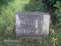
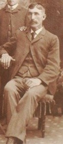
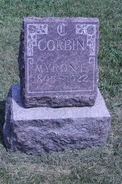
Ellen Marie “Nellie” Crane Corbin
| Birth | : | 13 May 1876 Fayette County, Iowa, USA |
| Death | : | 18 Feb 1933 Carthage, Miner County, South Dakota, USA |
| Burial | : | Prairie Flower Cemetery, Fedora, Miner County, USA |
| Coordinate | : | 44.0969009, -97.8169022 |
frequently asked questions (FAQ):
-
Where is Ellen Marie “Nellie” Crane Corbin's memorial?
Ellen Marie “Nellie” Crane Corbin's memorial is located at: Prairie Flower Cemetery, Fedora, Miner County, USA.
-
When did Ellen Marie “Nellie” Crane Corbin death?
Ellen Marie “Nellie” Crane Corbin death on 18 Feb 1933 in Carthage, Miner County, South Dakota, USA
-
Where are the coordinates of the Ellen Marie “Nellie” Crane Corbin's memorial?
Latitude: 44.0969009
Longitude: -97.8169022
Family Members:
Spouse
Children
Flowers:
Nearby Cemetories:
1. Prairie Flower Cemetery
Fedora, Miner County, USA
Coordinate: 44.0969009, -97.8169022
2. Morgans Cemetery
Miner County, USA
Coordinate: 44.0602989, -97.7707977
3. Lutheran Cemetery
Artesian, Sanborn County, USA
Coordinate: 44.0967700, -97.9117600
4. Norwegian Lutheran Cemetery
Sanborn County, USA
Coordinate: 44.0966988, -97.9332962
5. Trinity Lutheran Cemetery
Carthage, Miner County, USA
Coordinate: 44.1697006, -97.7403030
6. Fedora Cemetery
Fedora, Miner County, USA
Coordinate: 43.9996986, -97.7906036
7. Saint Anthonys Catholic Cemetery
Artesian, Sanborn County, USA
Coordinate: 44.0201400, -97.9202700
8. Mount Pleasant Cemetery
Artesian, Sanborn County, USA
Coordinate: 44.0193000, -97.9210000
9. Saint Anthony's Catholic Cemetery
Sanborn County, USA
Coordinate: 44.1478400, -97.9504400
10. Pleasant View Cemetery
Carthage, Miner County, USA
Coordinate: 44.1693993, -97.6983032
11. Trinity Lutheran Cemetery New
Carthage, Miner County, USA
Coordinate: 44.1812172, -97.7092285
12. Sacred Heart Cemetery
Carthage, Miner County, USA
Coordinate: 44.1824989, -97.7089005
13. Saint Nicholas Cemetery
Roswell, Miner County, USA
Coordinate: 44.0057793, -97.6929626
14. Roswell Cemetery
Roswell, Miner County, USA
Coordinate: 43.9939003, -97.6919022
15. Esmond Cemetery
Esmond, Kingsbury County, USA
Coordinate: 44.2578000, -97.7728000
16. Immanuel Lutheran Cemetery
Belle Prairie Township, Beadle County, USA
Coordinate: 44.2341003, -97.9559021
17. IOOF Cemetery
Vilas, Miner County, USA
Coordinate: 44.0225067, -97.5940399
18. Bonny Cemetery
Sanborn County, USA
Coordinate: 44.1768000, -98.0505000
19. Cloverleaf Colony Cemetery
Howard, Miner County, USA
Coordinate: 44.1858368, -97.5361023
20. Farwell Cemetery
Sanborn County, USA
Coordinate: 43.8788986, -97.8688965
21. Graceland Cemetery
Howard, Miner County, USA
Coordinate: 44.0003014, -97.5289001
22. Dow Cemetery
Manchester, Kingsbury County, USA
Coordinate: 44.3112200, -97.6930700
23. Saint Johns Lutheran Cemetery
Howard, Miner County, USA
Coordinate: 44.0106010, -97.5105972
24. Saint Josephs Cemetery
Howard, Miner County, USA
Coordinate: 44.0092010, -97.5105972

