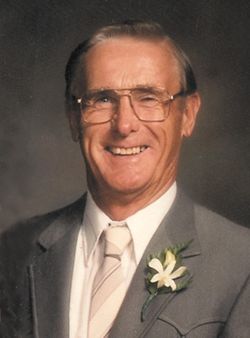
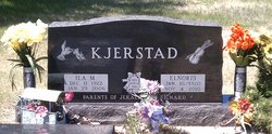
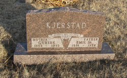
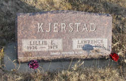
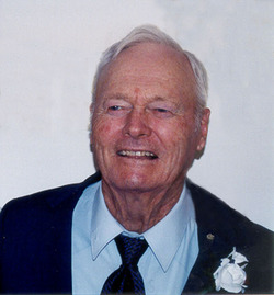
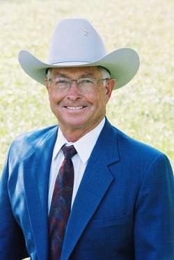
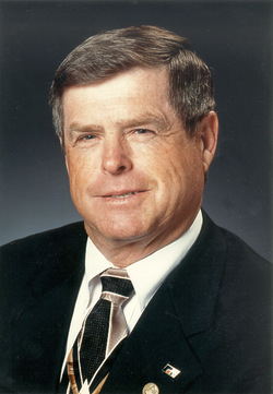
Elnoris Kjerstad
| Birth | : | 10 Jan 1920 Quinn, Pennington County, South Dakota, USA |
| Death | : | 4 Nov 2010 Rapid City, Pennington County, South Dakota, USA |
| Burial | : | Oak Hill Cemetery, Auburn, Androscoggin County, USA |
| Coordinate | : | 44.0797005, -70.2138977 |
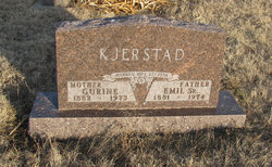
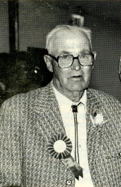
| Description | : | Elnoris was born January 10, 1920 at the ranch northeast of Quinn to Emil Sr. and Gurine (Ellingsen) Kjerstad. He grew up in the Quinn area and attended the Kruse Country School through the eighth grade and then attended high school in Quinn for six weeks. He then became employed by Knute Tennyson helping run his grocery and creamery store. He eventually purchased the creamery from Knute and also bought a freight line from Frank Gregson. After a few years, he sold them both to Cecil Kruse. His dad gave him 160 acres of farm ground and planted his first... Read More |
frequently asked questions (FAQ):
-
Where is Elnoris Kjerstad's memorial?
Elnoris Kjerstad's memorial is located at: Oak Hill Cemetery, Auburn, Androscoggin County, USA.
-
When did Elnoris Kjerstad death?
Elnoris Kjerstad death on 4 Nov 2010 in Rapid City, Pennington County, South Dakota, USA
-
Where are the coordinates of the Elnoris Kjerstad's memorial?
Latitude: 44.0797005
Longitude: -70.2138977
Family Members:
Parent
Spouse
Siblings
Children
Flowers:
Nearby Cemetories:
1. Oak Hill Cemetery
Auburn, Androscoggin County, USA
Coordinate: 44.0797005, -70.2138977
2. Davis Cemetery
Auburn, Androscoggin County, USA
Coordinate: 44.0691220, -70.2092460
3. Mount Hope Cemetery
Lewiston, Androscoggin County, USA
Coordinate: 44.0699997, -70.2055969
4. Leighton Cemetery
Auburn, Androscoggin County, USA
Coordinate: 44.0800629, -70.2357635
5. Dill Cemetery
Lewiston, Androscoggin County, USA
Coordinate: 44.0807100, -70.1877630
6. Davis Cemetery
Lewiston, Androscoggin County, USA
Coordinate: 44.1006012, -70.2071991
7. Goddard Cemetery
Lewiston, Androscoggin County, USA
Coordinate: 44.0608117, -70.1976966
8. Getchell Cemetery
Auburn, Androscoggin County, USA
Coordinate: 44.0539056, -70.2024674
9. Penley Corner Cemetery
Auburn, Androscoggin County, USA
Coordinate: 44.0533600, -70.2026291
10. Quaker Cemetery
Lewiston, Androscoggin County, USA
Coordinate: 44.0569670, -70.1904360
11. Grand Army of the Republic Cemetery
Lewiston, Androscoggin County, USA
Coordinate: 44.1090202, -70.2135696
12. Potters Field
Lewiston, Androscoggin County, USA
Coordinate: 44.1097488, -70.2133636
13. Riverside Cemetery
Lewiston, Androscoggin County, USA
Coordinate: 44.1102982, -70.2149963
14. Evergreen Cemetery
Auburn, Androscoggin County, USA
Coordinate: 44.0856400, -70.2572098
15. Broadview Memorial Cemetery
Lewiston, Androscoggin County, USA
Coordinate: 44.1055984, -70.1872025
16. Temple Shalom Synagogue Cemetery
Auburn, Androscoggin County, USA
Coordinate: 44.0450160, -70.2352130
17. Beth Abraham Cemetery
Auburn, Androscoggin County, USA
Coordinate: 44.0449000, -70.2351500
18. Pine Street Cemetery
Auburn, Androscoggin County, USA
Coordinate: 44.0435982, -70.2339020
19. Fitz Cemetery
Auburn, Androscoggin County, USA
Coordinate: 44.0410995, -70.2444000
20. Randall Road Cemetery
Lewiston, Androscoggin County, USA
Coordinate: 44.0879517, -70.1525269
21. Wagg Cemetery
Auburn, Androscoggin County, USA
Coordinate: 44.0382996, -70.1875000
22. Briggs Cemetery
Auburn, Androscoggin County, USA
Coordinate: 44.1255989, -70.2305984
23. Gracelawn Memorial Park
Auburn, Androscoggin County, USA
Coordinate: 44.1258011, -70.2335968
24. Mount Auburn Cemetery
Auburn, Androscoggin County, USA
Coordinate: 44.1217003, -70.2472000

