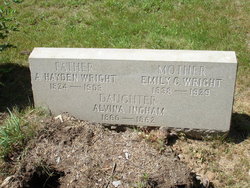
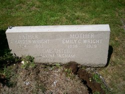
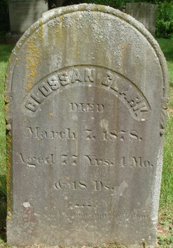
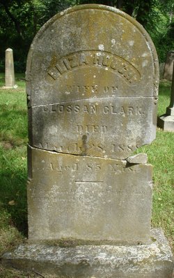
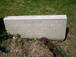
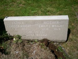
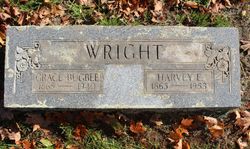
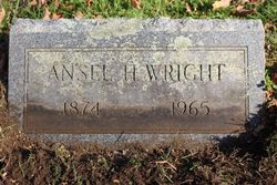
Emily Elizabeth Clark Wright
| Birth | : | 22 Mar 1838 Connecticut, USA |
| Death | : | 24 Apr 1929 Old Saybrook, Middlesex County, Connecticut, USA |
| Burial | : | Oakwood Cemetery, Nunda, Livingston County, USA |
| Coordinate | : | 42.5829900, -77.9433500 |
frequently asked questions (FAQ):
-
Where is Emily Elizabeth Clark Wright's memorial?
Emily Elizabeth Clark Wright's memorial is located at: Oakwood Cemetery, Nunda, Livingston County, USA.
-
When did Emily Elizabeth Clark Wright death?
Emily Elizabeth Clark Wright death on 24 Apr 1929 in Old Saybrook, Middlesex County, Connecticut, USA
-
Where are the coordinates of the Emily Elizabeth Clark Wright's memorial?
Latitude: 42.5829900
Longitude: -77.9433500
Family Members:
Parent
Spouse
Siblings
Children
Flowers:
Nearby Cemetories:
1. Oakwood Cemetery
Nunda, Livingston County, USA
Coordinate: 42.5829900, -77.9433500
2. Oakland Hill Cemetery
Oakland, Livingston County, USA
Coordinate: 42.5728000, -77.9693700
3. Guy's Corners Cemetery
Nunda, Livingston County, USA
Coordinate: 42.5562100, -77.9462700
4. Colonel Williams Cemetery
Portage, Livingston County, USA
Coordinate: 42.5842133, -77.9828415
5. Coopersville-Jones Cemetery
Nunda, Livingston County, USA
Coordinate: 42.6069900, -77.9196700
6. Oakhill Cemetery
Livingston County, USA
Coordinate: 42.6156006, -77.9514008
7. Seager Cemetery
Nunda, Livingston County, USA
Coordinate: 42.5637400, -77.9049800
8. Hunts Hollow Cemetery
Portage, Livingston County, USA
Coordinate: 42.5562700, -77.9852900
9. Dalton Cemetery
Dalton, Livingston County, USA
Coordinate: 42.5388210, -77.9516570
10. Chautauqua Hollow Cemetery
Nunda, Livingston County, USA
Coordinate: 42.5326900, -77.9099800
11. Dalton Union Cemetery
Dalton, Livingston County, USA
Coordinate: 42.5250015, -77.9400024
12. Scipio Cemetery
Mount Morris, Livingston County, USA
Coordinate: 42.6215820, -77.8697205
13. Davis Cemetery
Portageville, Wyoming County, USA
Coordinate: 42.5886000, -78.0394100
14. Letchworth Pioneer Cemetery
Castile, Wyoming County, USA
Coordinate: 42.5887100, -78.0394200
15. Portageville Pioneer Cemetery
Portageville, Wyoming County, USA
Coordinate: 42.5673700, -78.0374400
16. Pennycook Cemetery
Portage, Livingston County, USA
Coordinate: 42.5478000, -78.0272000
17. Letchworth State Park
Castile, Wyoming County, USA
Coordinate: 42.5859000, -78.0425000
18. Tuscarora Memorial Garden
Tuscarora, Livingston County, USA
Coordinate: 42.6343000, -77.8699730
19. Saint Mary's Old Catholic Cemetery
Portageville, Wyoming County, USA
Coordinate: 42.5640950, -78.0461470
20. Alvord Road Cemetery
Mount Morris, Livingston County, USA
Coordinate: 42.6545640, -77.8990960
21. Reservation Cemetery
Castile, Wyoming County, USA
Coordinate: 42.6566010, -77.9988403
22. Portageville Cemetery
Portageville, Wyoming County, USA
Coordinate: 42.5628014, -78.0558014
23. Assumption Cemetery
Portageville, Wyoming County, USA
Coordinate: 42.5672000, -78.0600000
24. Union Corners Cemetery
Tuscarora, Livingston County, USA
Coordinate: 42.6270800, -77.8395600

