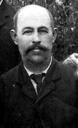
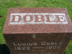
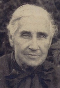
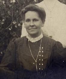
Ernest Doble
| Birth | : | 24 Jan 1860 Oxford County, Maine, USA |
| Death | : | 4 Dec 1945 Longview, Cowlitz County, Washington, USA |
| Burial | : | St. Peter Mancroft Churchyard, Norwich, City of Norwich, England |
| Coordinate | : | 52.6277780, 1.2925000 |
frequently asked questions (FAQ):
-
Where is Ernest Doble's memorial?
Ernest Doble's memorial is located at: St. Peter Mancroft Churchyard, Norwich, City of Norwich, England.
-
When did Ernest Doble death?
Ernest Doble death on 4 Dec 1945 in Longview, Cowlitz County, Washington, USA
-
Where are the coordinates of the Ernest Doble's memorial?
Latitude: 52.6277780
Longitude: 1.2925000
Family Members:
Parent
Spouse
Siblings
Children
Flowers:
Nearby Cemetories:
1. St. Peter Mancroft Churchyard
Norwich, City of Norwich, England
Coordinate: 52.6277780, 1.2925000
2. Saint Stephens Churchyard
Norwich, City of Norwich, England
Coordinate: 52.6266260, 1.2921140
3. St. John Maddermarket Church
Norwich, City of Norwich, England
Coordinate: 52.6300230, 1.2927980
4. Norwich Castle
Norwich, City of Norwich, England
Coordinate: 52.6286810, 1.2963990
5. Austin Friars Church Cemetery
Norwich, City of Norwich, England
Coordinate: 52.6283330, 1.2966670
6. All Saints Churchyard
Norwich, City of Norwich, England
Coordinate: 52.6257450, 1.2952710
7. St. Gregory's Churchyard
Norwich, City of Norwich, England
Coordinate: 52.6304430, 1.2914150
8. Saint John Timberhill Churchyard
Norwich, City of Norwich, England
Coordinate: 52.6261280, 1.2961320
9. St. Andrew's Churchyard
Norwich, City of Norwich, England
Coordinate: 52.6304640, 1.2953880
10. St. Laurence's Churchyard
Norwich, City of Norwich, England
Coordinate: 52.6310440, 1.2901140
11. St Giles Churchyard
Norwich, City of Norwich, England
Coordinate: 52.6294900, 1.2871500
12. St. Michael at Plea Cemetery
Norwich, City of Norwich, England
Coordinate: 52.6305230, 1.2972160
13. Black Friars
Norwich, City of Norwich, England
Coordinate: 52.6311800, 1.2959050
14. St. Michael at Thorn Churchyard
Norwich, City of Norwich, England
Coordinate: 52.6250310, 1.2972730
15. St. Margaret's Churchyard
Norwich, City of Norwich, England
Coordinate: 52.6312260, 1.2886730
16. Princes Street Chapel
Norwich, City of Norwich, England
Coordinate: 52.6309470, 1.2969650
17. St Margaret de Westwick Parish Church
Norwich, City of Norwich, England
Coordinate: 52.6313610, 1.2887497
18. Saint Margaret's Churchyard
Norwich, City of Norwich, England
Coordinate: 52.6313370, 1.2886400
19. St. Peter's Hungate Churchyard
Norwich, City of Norwich, England
Coordinate: 52.6311100, 1.2970000
20. St. Mary The Less Church
Norwich, City of Norwich, England
Coordinate: 52.6305650, 1.2982900
21. St. Swithin Churchyard
Norwich, City of Norwich, England
Coordinate: 52.6316140, 1.2877760
22. Saint George-Tombland Parish Church
Norwich, City of Norwich, England
Coordinate: 52.6312220, 1.2985100
23. St. Benedict's Churchyard
Norwich, City of Norwich, England
Coordinate: 52.6311700, 1.2860580
24. Saint Michael Coslany Parish Churchyard
Norwich, City of Norwich, England
Coordinate: 52.6329420, 1.2914110

