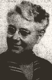
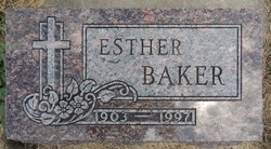
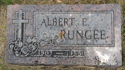
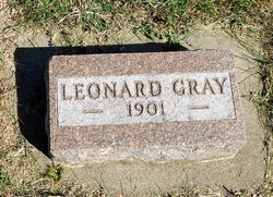
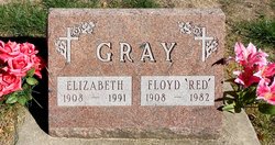
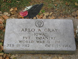
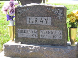
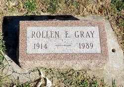
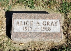
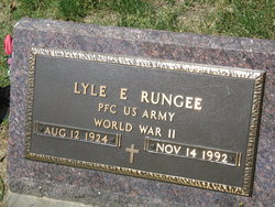
Esther Eleanor Gray Rungee Baker
| Birth | : | 1 Feb 1903 Carroll, Carroll County, Iowa, USA |
| Death | : | 4 Mar 1997 Carroll, Carroll County, Iowa, USA |
| Burial | : | Willow Cemetery, Greene County, USA |
| Coordinate | : | 41.9067001, -94.5730972 |
| Description | : | Husbands: Albert Rungee Ray Bainter Fred Baker All preceded her in death |
frequently asked questions (FAQ):
-
Where is Esther Eleanor Gray Rungee Baker's memorial?
Esther Eleanor Gray Rungee Baker's memorial is located at: Willow Cemetery, Greene County, USA.
-
When did Esther Eleanor Gray Rungee Baker death?
Esther Eleanor Gray Rungee Baker death on 4 Mar 1997 in Carroll, Carroll County, Iowa, USA
-
Where are the coordinates of the Esther Eleanor Gray Rungee Baker's memorial?
Latitude: 41.9067001
Longitude: -94.5730972
Family Members:
Parent
Spouse
Siblings
Children
Flowers:
Nearby Cemetories:
1. Willow Cemetery
Greene County, USA
Coordinate: 41.9067001, -94.5730972
2. Union Township Cemetery
Coon Rapids, Carroll County, USA
Coordinate: 41.8781013, -94.6389008
3. Coon Rapids Cemetery
Coon Rapids, Carroll County, USA
Coordinate: 41.8778000, -94.6678009
4. Highland Cemetery
Bayard, Guthrie County, USA
Coordinate: 41.8241997, -94.5717010
5. Oak Hill Cemetery
Coon Rapids, Carroll County, USA
Coordinate: 41.9053001, -94.7200012
6. Greenbrier Cemetery
Cooper, Greene County, USA
Coordinate: 41.9063988, -94.4218979
7. Dodge Center Cemetery
Bagley, Guthrie County, USA
Coordinate: 41.8194008, -94.4697037
8. Orange Township Cemetery
Guthrie County, USA
Coordinate: 41.8163986, -94.6844025
9. Scranton Township Cemetery
Scranton, Greene County, USA
Coordinate: 42.0306015, -94.5783005
10. Old Carrollton Cemetery
Carrollton, Carroll County, USA
Coordinate: 41.9233017, -94.7403030
11. Headley Cemetery
Jefferson, Greene County, USA
Coordinate: 42.0041504, -94.4335815
12. German Cemetery
Greene County, USA
Coordinate: 41.9136009, -94.3778000
13. Tuttles Grove Cemetery
Guthrie County, USA
Coordinate: 41.8130989, -94.7228012
14. McCurdy Cemetery
Carroll County, USA
Coordinate: 41.9403000, -94.7649994
15. Gibson-Fleck-Thompson Cemetery
Scranton, Greene County, USA
Coordinate: 42.0428870, -94.4988800
16. Wright Cemetery
Jefferson, Greene County, USA
Coordinate: 42.0228004, -94.4477997
17. Fair Oaks Cemetery
Scranton, Greene County, USA
Coordinate: 42.0355988, -94.4460983
18. Moffit Grove Cemetery
Yale, Guthrie County, USA
Coordinate: 41.7668991, -94.4539032
19. Richland Memorial Cemetery
Herndon, Guthrie County, USA
Coordinate: 41.8353004, -94.3657990
20. Franklin Township Cemetery
Cooper, Greene County, USA
Coordinate: 41.9268990, -94.3388977
21. Dillavou Cemetery
Kendrick Township, Greene County, USA
Coordinate: 42.0802994, -94.6138992
22. Seeley Township Cemetery
Guthrie County, USA
Coordinate: 41.7318993, -94.6147003
23. Saint Josephs Cemetery
Dedham, Carroll County, USA
Coordinate: 41.8993988, -94.8210983
24. Dedham Cemetery
Dedham, Carroll County, USA
Coordinate: 41.8993988, -94.8225021

