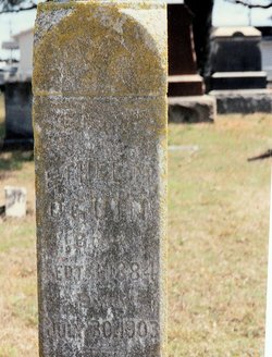
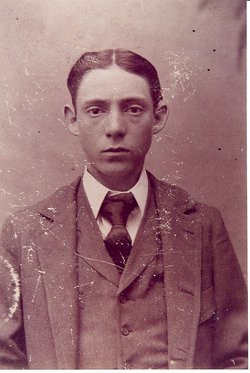
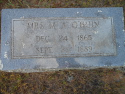
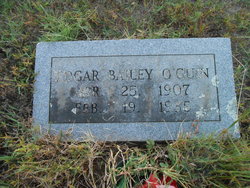
Ethel Mae O'Guin
| Birth | : | 3 Sep 1884 Faulkner County, Arkansas, USA |
| Death | : | 30 Jul 1903 Faulkner County, Arkansas, USA |
| Burial | : | Saint Johns Evangelical Lutheran Cemetery, Lake Mills, Jefferson County, USA |
| Coordinate | : | 43.1074982, -88.9441986 |
frequently asked questions (FAQ):
-
Where is Ethel Mae O'Guin's memorial?
Ethel Mae O'Guin's memorial is located at: Saint Johns Evangelical Lutheran Cemetery, Lake Mills, Jefferson County, USA.
-
When did Ethel Mae O'Guin death?
Ethel Mae O'Guin death on 30 Jul 1903 in Faulkner County, Arkansas, USA
-
Where are the coordinates of the Ethel Mae O'Guin's memorial?
Latitude: 43.1074982
Longitude: -88.9441986
Family Members:
Parent
Siblings
Nearby Cemetories:
1. Saint Johns Evangelical Lutheran Cemetery
Lake Mills, Jefferson County, USA
Coordinate: 43.1074982, -88.9441986
2. Neville Cemetery
Waterloo, Jefferson County, USA
Coordinate: 43.1289270, -88.9312040
3. Rock Lake Cemetery
Lake Mills, Jefferson County, USA
Coordinate: 43.0896988, -88.9131012
4. Saint Pauls Evangelical Lutheran Cemetery
Lake Mills, Jefferson County, USA
Coordinate: 43.0591800, -88.9218900
5. South Road Cemetery
Waterloo, Jefferson County, USA
Coordinate: 43.1467018, -88.9914017
6. Saint Wenceslaus Cemetery
Waterloo, Jefferson County, USA
Coordinate: 43.1611000, -88.9218000
7. Kroghville Cemetery
Kroghville, Jefferson County, USA
Coordinate: 43.0663800, -89.0069400
8. Gericke Cemetery
Kroghville, Jefferson County, USA
Coordinate: 43.0674930, -89.0115740
9. Aztalan Cemetery
Milford, Jefferson County, USA
Coordinate: 43.0839005, -88.8630981
10. Jordan Cemetery
Waterloo, Jefferson County, USA
Coordinate: 43.1699982, -88.9619980
11. Island Cemetery
Waterloo, Jefferson County, USA
Coordinate: 43.1725006, -88.9207993
12. Edwards Family Plot
Waterloo, Jefferson County, USA
Coordinate: 43.1745900, -88.8985800
13. Oak Hill Cemetery
Waterloo, Jefferson County, USA
Coordinate: 43.1836040, -88.9748170
14. City of Waterloo Cemetery
Waterloo, Jefferson County, USA
Coordinate: 43.1801140, -88.9900520
15. Saint Josephs Catholic Cemetery
Waterloo, Jefferson County, USA
Coordinate: 43.1800600, -88.9994720
16. Salem Evangelical United Brethren Cemetery
Milford, Jefferson County, USA
Coordinate: 43.0972710, -88.8208313
17. Hubbleton Cemetery
Hubbleton, Jefferson County, USA
Coordinate: 43.1952600, -88.8939700
18. Mamre Moravian Cemetery
Milford, Jefferson County, USA
Coordinate: 43.1717030, -88.8433030
19. Saint Marys Cemetery
Marshall, Dane County, USA
Coordinate: 43.1657982, -89.0522200
20. Medina Cemetery
Marshall, Dane County, USA
Coordinate: 43.1636009, -89.0582962
21. Washington Cemetery
Portland, Dodge County, USA
Coordinate: 43.2057991, -88.9800034
22. Saint Annes Catholic Cemetery
Deerfield, Dane County, USA
Coordinate: 43.0822200, -89.0827500
23. German Methodist Cemetery
Milford, Jefferson County, USA
Coordinate: 43.1221619, -88.8025208
24. North Oakland Cemetery
Oakland, Jefferson County, USA
Coordinate: 43.0018997, -88.9088974


