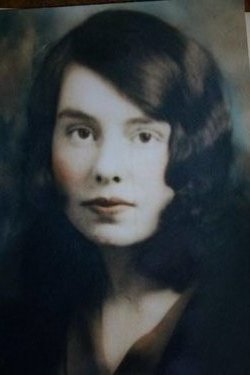
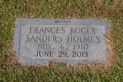
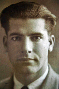
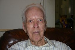
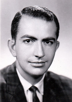
Frances Boyd Koger “Frankie” Sanders Holmes
| Birth | : | 6 Nov 1910 Charleston, Charleston County, South Carolina, USA |
| Death | : | 29 Jun 2013 Charlotte, Mecklenburg County, North Carolina, USA |
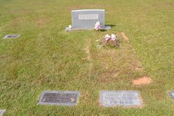
| Burial | : | Foster Chapel United Methodist Church Cemetery, Jonesville, Union County, USA |
| Coordinate | : | 34.8266983, -81.5849991 |
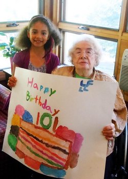
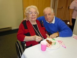
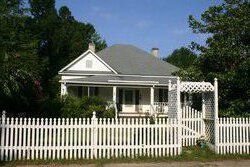
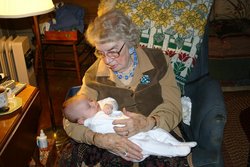
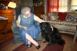
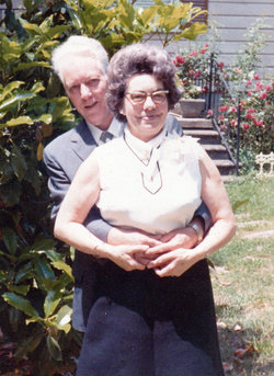
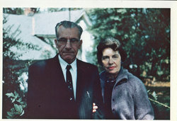
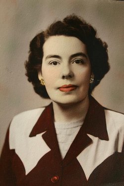
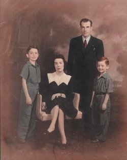
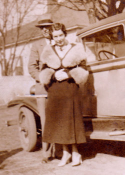
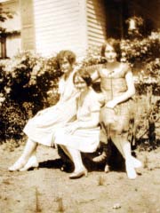
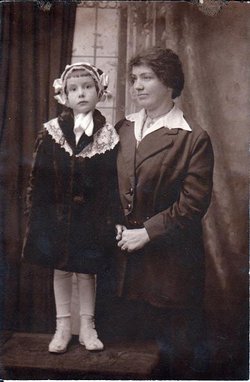
| Description | : | Frances "Frankie" Boyd Koger Sanders Holmes, a resident of Jonesville, SC for almost a century, died on Saturday, June 29, 2013, at age 102, at Carmel Hills Retirement Community in Charlotte, NC. Frankie was born in Charleston, SC on 11/06/1910, to Robert Boyd Koger Jr., and Alice Easterlin Koger. She moved to Jonesville with her parents and sisters Josephine and Merle (later Mrs. Frank Berry of Reevesville) when she was 10 months old. She loved and called Jonesville "home" for the rest of her life. She was the last surviving member of her birth family.She was married to Fred Guy... Read More |
frequently asked questions (FAQ):
-
Where is Frances Boyd Koger “Frankie” Sanders Holmes's memorial?
Frances Boyd Koger “Frankie” Sanders Holmes's memorial is located at: Foster Chapel United Methodist Church Cemetery, Jonesville, Union County, USA.
-
When did Frances Boyd Koger “Frankie” Sanders Holmes death?
Frances Boyd Koger “Frankie” Sanders Holmes death on 29 Jun 2013 in Charlotte, Mecklenburg County, North Carolina, USA
-
Where are the coordinates of the Frances Boyd Koger “Frankie” Sanders Holmes's memorial?
Latitude: 34.8266983
Longitude: -81.5849991
Family Members:
Parent
Spouse
Siblings
Children
Flowers:
Nearby Cemetories:
1. Foster Chapel United Methodist Church Cemetery
Jonesville, Union County, USA
Coordinate: 34.8266983, -81.5849991
2. Porter Cemetery
Union County, USA
Coordinate: 34.8302994, -81.5856018
3. Bethany AME Church Cemetery
Jonesville, Union County, USA
Coordinate: 34.8330850, -81.5851980
4. Mount Joy Baptist Church Cemetery
Kelton, Union County, USA
Coordinate: 34.8342310, -81.5804740
5. Ebenezer A.M.E. Church Cemetery
Jonesville, Union County, USA
Coordinate: 34.8267300, -81.5671600
6. Bethel Baptist Church Cemetery
Union County, USA
Coordinate: 34.8346180, -81.5670930
7. Kelly Cemetery
Union County, USA
Coordinate: 34.8367004, -81.6044006
8. Hames-Gault Cemetery
Union County, USA
Coordinate: 34.8492012, -81.5963974
9. Going Cemetery
Union County, USA
Coordinate: 34.8457985, -81.5655975
10. Bethlehem United Methodist Church Cemetery
Union, Union County, USA
Coordinate: 34.8050003, -81.6003036
11. Haney Cemetery
Union County, USA
Coordinate: 34.8018990, -81.5783005
12. Gallman Cemetery
Union County, USA
Coordinate: 34.8018990, -81.6006012
13. Free Cemetery
Union County, USA
Coordinate: 34.7975006, -81.5681000
14. Mark Hill Baptist Church Cemetery
Union County, USA
Coordinate: 34.8329760, -81.6261160
15. McKissick Cemetery
Union County, USA
Coordinate: 34.8492012, -81.5516968
16. Flat Rock Cemetery
Kelton, Union County, USA
Coordinate: 34.8614006, -81.5947037
17. Johnson Family
Union County, USA
Coordinate: 34.8494500, -81.6241670
18. Smith Cemetery
Union County, USA
Coordinate: 34.8661003, -81.5892029
19. Askew Cemetery
Union County, USA
Coordinate: 34.8638992, -81.6066971
20. Fawcett Cemetery
Union County, USA
Coordinate: 34.7839012, -81.5832977
21. Garner Cemetery
Union County, USA
Coordinate: 34.8574982, -81.5350037
22. Foster-Woolbright Cemetery
Union County, USA
Coordinate: 34.8403015, -81.5222015
23. Spears Cemetery
Union County, USA
Coordinate: 34.8708000, -81.5381012
24. Hancock Cemetery
Union County, USA
Coordinate: 34.7783012, -81.6303024

