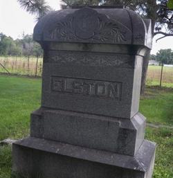
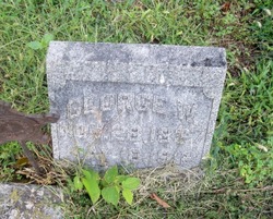
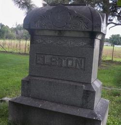
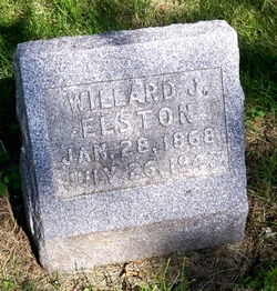
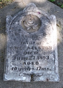
George W. Elston
| Birth | : | 28 Oct 1838 Luzerne County, Pennsylvania, USA |
| Death | : | 18 May 1912 Columbus, Platte County, Nebraska, USA |
| Burial | : | Hillside Cemetery, Sharon, Litchfield County, USA |
| Coordinate | : | 41.8824030, -73.4783900 |
| Description | : | From the web site: http://www.usgennet.org/usa/ne/county/platte/vitals/vitals1912.html The Columbus Telegram, May 24, 1912 DIED ELSTON--George W. Elston, an old soldier, and a resident of Columbus for thirty-five years, died last Saturday night at 11 o'clock at his home on west fourteenth street. For a nearly a year he had suffered poor health, resulting from a complication of ailments, but he had not been bed-ridden. Soon after retiring Saturday night he suffered an attack of paralysis, followed a few minutes later by a second attack, and he died before the arrival of a physician. Mr. Elson was born October 28, 1838, in... Read More |
frequently asked questions (FAQ):
-
Where is George W. Elston's memorial?
George W. Elston's memorial is located at: Hillside Cemetery, Sharon, Litchfield County, USA.
-
When did George W. Elston death?
George W. Elston death on 18 May 1912 in Columbus, Platte County, Nebraska, USA
-
Where are the coordinates of the George W. Elston's memorial?
Latitude: 41.8824030
Longitude: -73.4783900
Family Members:
Spouse
Children
Flowers:
Nearby Cemetories:
1. Hillside Cemetery
Sharon, Litchfield County, USA
Coordinate: 41.8824030, -73.4783900
2. Saint Bernard Cemetery
Sharon, Litchfield County, USA
Coordinate: 41.8796997, -73.4957962
3. Leedsville Cemetery
Litchfield County, USA
Coordinate: 41.8514200, -73.5125800
4. Boland Cemetery
Sharon, Litchfield County, USA
Coordinate: 41.8410988, -73.4925003
5. Coleman's Station Cemetery
Northeast, Dutchess County, USA
Coordinate: 41.9044609, -73.5281906
6. Old Amenia Burying Ground
Amenia, Dutchess County, USA
Coordinate: 41.8606796, -73.5479126
7. Amenia Union Cemetery
Amenia Union, Dutchess County, USA
Coordinate: 41.8260193, -73.5095062
8. East Street Cemetery
Sharon, Litchfield County, USA
Coordinate: 41.8492650, -73.4076940
9. Amenia Island Cemetery
Amenia, Dutchess County, USA
Coordinate: 41.8511162, -73.5511169
10. North East Center Burying Ground
Northeast Center, Dutchess County, USA
Coordinate: 41.9307709, -73.5341263
11. Ellsworth Burying Ground
Sharon, Litchfield County, USA
Coordinate: 41.8292885, -73.4286880
12. Amenia Union Cemetery
Sharon, Litchfield County, USA
Coordinate: 41.8204384, -73.5038376
13. Town Hill Cemetery
Salisbury, Litchfield County, USA
Coordinate: 41.9458310, -73.4416140
14. East Side Cemetery
Sharon, Litchfield County, USA
Coordinate: 41.8666992, -73.3824997
15. Immaculate Conception Cemetery
Amenia, Dutchess County, USA
Coordinate: 41.8407900, -73.5622100
16. Irondale Cemetery
Millerton, Dutchess County, USA
Coordinate: 41.9524994, -73.5167007
17. Saint Patricks Roman Catholic Church Cemetery
Millerton, Dutchess County, USA
Coordinate: 41.9570650, -73.5119030
18. South Amenia Cemetery
Amenia, Dutchess County, USA
Coordinate: 41.8078003, -73.5242004
19. Spencer's Corners Cemetery
Millerton, Dutchess County, USA
Coordinate: 41.9658318, -73.5069199
20. Lime Rock Cemetery
Salisbury, Litchfield County, USA
Coordinate: 41.9305496, -73.3787308
21. Smithfield Cemetery
Smithfield, Dutchess County, USA
Coordinate: 41.8850000, -73.5997220
22. Kent School Cemetery
Kent, Litchfield County, USA
Coordinate: 41.7850494, -73.4627533
23. Skiff Mountain Cemetery
Kent, Litchfield County, USA
Coordinate: 41.7844009, -73.4633026
24. Separate Church Grounds
Millbrook, Dutchess County, USA
Coordinate: 41.8565490, -73.6070850

