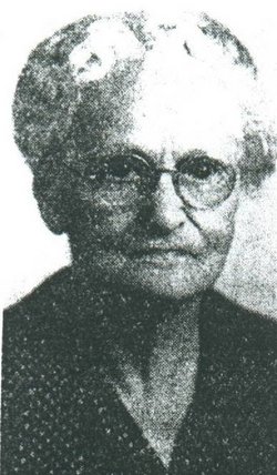
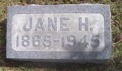
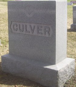
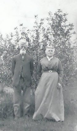
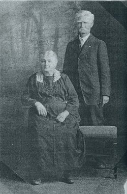
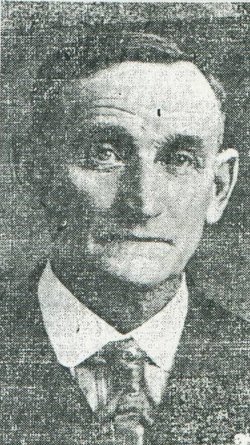
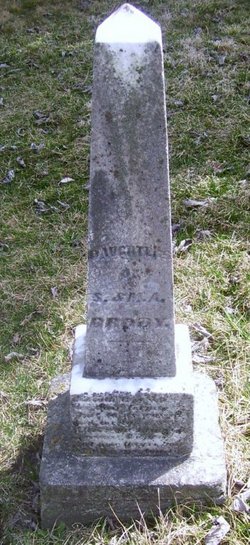
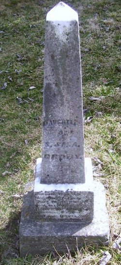
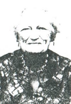
Harriet Jane Brody Culver
| Birth | : | 6 May 1865 Urbana, Benton County, Iowa, USA |
| Death | : | 17 Dec 1945 Urbana, Benton County, Iowa, USA |
| Burial | : | Sudbury Anglican Cemetery, Sudbury, Greater Sudbury Municipality, Canada |
| Coordinate | : | 46.4843600, -81.0075800 |
| Description | : | Daughter of Samuel Hugh Brody and Mary Ann Lash Spouse of James Samuel Culver Mother of Dora Delle, Berha Belle and Verna Nell Mrs. Harriet Jane Culver, 80, died at the home of her son-in-law and daughter, Mr. and Mrs. C. L. Dingman, this morning at 8 o'clock. Mrs. Culver's death followed an illness of over two years. She was born on a farm near Urbana to the late Mr. and Mrs. Samuel Brody, early pioneers of Benton County, and lived most of her life in the Urbana and Vinton communities. April 9, 1884, she was married to James S. Culver in Vinton.... Read More |
frequently asked questions (FAQ):
-
Where is Harriet Jane Brody Culver's memorial?
Harriet Jane Brody Culver's memorial is located at: Sudbury Anglican Cemetery, Sudbury, Greater Sudbury Municipality, Canada.
-
When did Harriet Jane Brody Culver death?
Harriet Jane Brody Culver death on 17 Dec 1945 in Urbana, Benton County, Iowa, USA
-
Where are the coordinates of the Harriet Jane Brody Culver's memorial?
Latitude: 46.4843600
Longitude: -81.0075800
Family Members:
Parent
Spouse
Siblings
Children
Flowers:
Nearby Cemetories:
1. Eyre Cemetery
Sudbury, Greater Sudbury Municipality, Canada
Coordinate: 46.4839190, -81.0080430
2. Park Lawn Cemetery
Sudbury, Greater Sudbury Municipality, Canada
Coordinate: 46.4842010, -81.0127730
3. LaSalle Roman Catholic Cemetery
Sudbury, Greater Sudbury Municipality, Canada
Coordinate: 46.5226600, -80.9773200
4. McFarlane Cemetery
Sudbury, Greater Sudbury Municipality, Canada
Coordinate: 46.4358620, -80.9913230
5. Civic Memorial Cemetery
Sudbury, Greater Sudbury Municipality, Canada
Coordinate: 46.4995995, -80.9368515
6. Long Lake Finnish Cemetery
Sudbury, Sudbury District, Canada
Coordinate: 46.4218490, -81.0052630
7. Saint Stanislaus Roman Catholic Cemetery New
Lively, Greater Sudbury Municipality, Canada
Coordinate: 46.4316700, -81.1162900
8. Waters Cemetery
Lively, Greater Sudbury Municipality, Canada
Coordinate: 46.4236500, -81.1359200
9. Saint John's Cemetery
Garson, Greater Sudbury Municipality, Canada
Coordinate: 46.5513581, -80.8613157
10. Blezard Valley Cemetery
Blezard Valley, Greater Sudbury Municipality, Canada
Coordinate: 46.6094760, -81.0542630
11. Good Shepherd Cemetery
Garson, Greater Sudbury Municipality, Canada
Coordinate: 46.5722850, -80.8472730
12. Atikameksheng Cemetery
Naughton, Greater Sudbury Municipality, Canada
Coordinate: 46.4014470, -81.1790660
13. Wahnapitae Protestant Cemetery
Sudbury, Sudbury District, Canada
Coordinate: 46.4905280, -80.7858910
14. Ruff Pioneer Cemetery
Garson, Greater Sudbury Municipality, Canada
Coordinate: 46.5586900, -80.8132800
15. Wahnapitae Catholic Cemetery
Sudbury, Sudbury District, Canada
Coordinate: 46.4892760, -80.7840900
16. St. Joseph's Catholic Cemetery
Chelmsford, Greater Sudbury Municipality, Canada
Coordinate: 46.5855050, -81.1820650
17. Chelmsford Protestant Cemetery
Chelmsford, Greater Sudbury Municipality, Canada
Coordinate: 46.5687130, -81.2120780
18. Saint Jacques Roman Catholic Cemetery
Hanmer, Greater Sudbury Municipality, Canada
Coordinate: 46.6520700, -80.9422600
19. Valley East Cemetery
Valley East, Greater Sudbury Municipality, Canada
Coordinate: 46.6675800, -80.9518900
20. Elbow Ridge Cemetery
Estaire, Sudbury District, Canada
Coordinate: 46.3236700, -80.7989760
21. Capreol Cemetery
Capreol, Greater Sudbury Municipality, Canada
Coordinate: 46.6962130, -80.9126210
22. Whitefish Public Cemetery
Whitefish, Greater Sudbury Municipality, Canada
Coordinate: 46.3772000, -81.3185800
23. Whitefish Catholic Cemetery
Whitefish, Greater Sudbury Municipality, Canada
Coordinate: 46.3806900, -81.3232800
24. Maple Crest Cemetery
Dowling, Greater Sudbury Municipality, Canada
Coordinate: 46.5710600, -81.3674300

