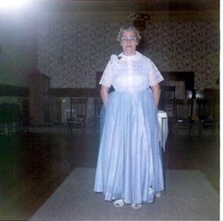
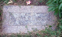
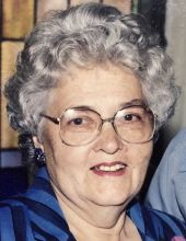
Hattie Marie Peterson Dinkins
| Birth | : | 20 May 1901 Tekamah, Burt County, Nebraska, USA |
| Death | : | 18 Jul 1977 Craig, Burt County, Nebraska, USA |
| Burial | : | Eliam Cemetery, Melrose, Putnam County, USA |
| Coordinate | : | 29.7071300, -82.0442400 |
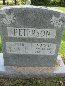
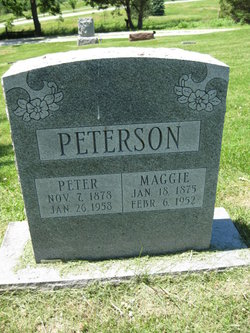
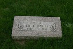
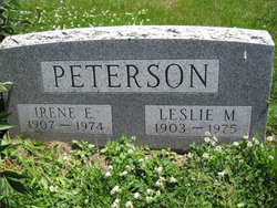
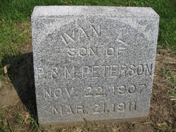
| Description | : | Hattie Marie Peterson was born May 20, 1901 on a small farm near Dunlap, Iowa to Peter and Margaret Peterson. In 1902 she and her parents moved to Nebraska. She received her education in Burt County. On May 17, 1924 she was married to Lee Earl Dinkins. The couple had four daughters: Mrs. Calvin (Mary Lou) Mitchell of Tekamah, Nebraska; Mrs. Chester (Shirley) Clark of Rockford, Illinois; Mrs. Glen (Vera) Schrantz of Springview, Nebraska; and Barbara who died in infancy. The couple farmed in Burt County until 1945 when they moved to western Nebraska... Read More |
frequently asked questions (FAQ):
-
Where is Hattie Marie Peterson Dinkins's memorial?
Hattie Marie Peterson Dinkins's memorial is located at: Eliam Cemetery, Melrose, Putnam County, USA.
-
When did Hattie Marie Peterson Dinkins death?
Hattie Marie Peterson Dinkins death on 18 Jul 1977 in Craig, Burt County, Nebraska, USA
-
Where are the coordinates of the Hattie Marie Peterson Dinkins's memorial?
Latitude: 29.7071300
Longitude: -82.0442400
Family Members:
Parent
Spouse
Siblings
Children
Flowers:
Nearby Cemetories:
1. Eliam Cemetery
Melrose, Putnam County, USA
Coordinate: 29.7071300, -82.0442400
2. Trinity Episcopal Church Gardens
Melrose, Putnam County, USA
Coordinate: 29.7100250, -82.0489770
3. Saint Johns Cemetery
Melrose, Putnam County, USA
Coordinate: 29.7152647, -82.0293660
4. Starke-Nelson Cemetery
Hawthorne, Alachua County, USA
Coordinate: 29.6797030, -82.1031810
5. Nelson Cemetery
Alachua County, USA
Coordinate: 29.6797009, -82.1035995
6. Saint Johns Cemetery
Earleton, Alachua County, USA
Coordinate: 29.7388268, -82.1045227
7. Waters Cemetery
Beckhamtown, Alachua County, USA
Coordinate: 29.6472225, -82.0988922
8. Ochwilla Baptist Church Cemetery
Melrose, Putnam County, USA
Coordinate: 29.6304900, -82.0283000
9. Carleton Cemetery
Melrose, Putnam County, USA
Coordinate: 29.6560630, -81.9759120
10. Keystone Heights Cemetery
Keystone Heights, Clay County, USA
Coordinate: 29.7928009, -82.0453033
11. Abilene Cemetery
Putnam Hall, Putnam County, USA
Coordinate: 29.7483000, -81.9577000
12. Saluda Cemetery
Orange Heights, Alachua County, USA
Coordinate: 29.7294006, -82.1438980
13. Free Canaan Methodist Cemetery
Alachua County, USA
Coordinate: 29.7541000, -82.1318200
14. Gilgal Cemetery
Putnam County, USA
Coordinate: 29.6118360, -82.0150470
15. Magnolia Cemetery
Interlachen, Putnam County, USA
Coordinate: 29.6443535, -81.9532755
16. Paran Baptist Church Cemetery
Putnam Hall, Putnam County, USA
Coordinate: 29.7310550, -81.9307750
17. Smith Family Cemetery
Hawthorne, Alachua County, USA
Coordinate: 29.6114559, -82.0928192
18. Johnson Family Cemetery
McMeekin, Putnam County, USA
Coordinate: 29.5961533, -82.0465952
19. Orange Creek Cemetery
Hawthorne, Alachua County, USA
Coordinate: 29.5984650, -82.0734940
20. Hawthorne Cemetery
Hawthorne, Alachua County, USA
Coordinate: 29.5961704, -82.0734406
21. Link Cemetery
Windsor, Alachua County, USA
Coordinate: 29.6646038, -82.1702335
22. Hawthorne Baptist Church Cemetery
Hawthorne, Alachua County, USA
Coordinate: 29.5943375, -82.0870514
23. McNabb-Rountree-Vaus Cemetery
McMeekin, Putnam County, USA
Coordinate: 29.5907520, -82.0029590
24. Townsend Cemetery
Hawthorne, Alachua County, USA
Coordinate: 29.6068993, -82.1331024

