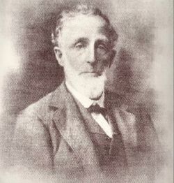
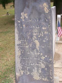
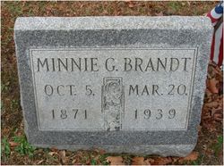
Jacob Rugh Brandt
| Birth | : | 25 Dec 1836 Fairfield County, Ohio, USA |
| Death | : | 18 Apr 1911 Fairfield County, Ohio, USA |
| Burial | : | Mount Saint James Cemetery, Watertown, Litchfield County, USA |
| Coordinate | : | 41.6100006, -73.1093979 |
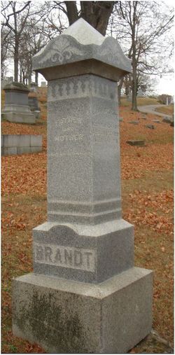
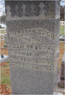
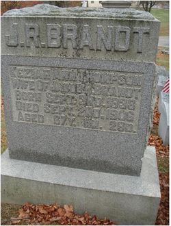
| Description | : | He was preceded in death by his parents, Adam and Elizabeth Rugh Brandt; Husband of Keziah Ann (Thompson) Brandt. Info per Fairfield County Park District: Engineered & rebuilt Rockmill Covered Bridge The current bridge was built in 1901 by Jacob R "Blue Jeans" Brandt (1836-1911). Brandt was born in Greenfield Township in Fairfield County. In 1858 he began working as a building planner for Fairfield County Commissioners. His works include churches, schools and bridges. He built the Mink Hollow Covered Bridge and is thought to have been the builder of Hartman No 2 Covered Bridge,... Read More |
frequently asked questions (FAQ):
-
Where is Jacob Rugh Brandt's memorial?
Jacob Rugh Brandt's memorial is located at: Mount Saint James Cemetery, Watertown, Litchfield County, USA.
-
When did Jacob Rugh Brandt death?
Jacob Rugh Brandt death on 18 Apr 1911 in Fairfield County, Ohio, USA
-
Where are the coordinates of the Jacob Rugh Brandt's memorial?
Latitude: 41.6100006
Longitude: -73.1093979
Family Members:
Parent
Spouse
Siblings
Children
Flowers:
Nearby Cemetories:
1. Mount Saint James Cemetery
Watertown, Litchfield County, USA
Coordinate: 41.6100006, -73.1093979
2. Evergreen Cemetery
Watertown, Litchfield County, USA
Coordinate: 41.6082993, -73.1235962
3. Old Watertown Cemetery
Watertown, Litchfield County, USA
Coordinate: 41.5993996, -73.1138992
4. All Saints Episcopal Church Memorial Garden
Oakville, Litchfield County, USA
Coordinate: 41.5885620, -73.0856160
5. Mount Olivet Cemetery
Watertown, Litchfield County, USA
Coordinate: 41.6185989, -73.1492004
6. Fort Hill Cemetery
Waterbury, New Haven County, USA
Coordinate: 41.5943413, -73.0548553
7. Beth El Cemetery
Waterbury, New Haven County, USA
Coordinate: 41.5951385, -73.0333328
8. Hillside Cemetery
Thomaston, Litchfield County, USA
Coordinate: 41.6685982, -73.0819016
9. Bucks Hill Cemetery
Waterbury, New Haven County, USA
Coordinate: 41.5938988, -73.0280991
10. Thomaston Veterans Monument
Thomaston, Litchfield County, USA
Coordinate: 41.6739640, -73.0727780
11. West Side Cemetery
Goshen, Litchfield County, USA
Coordinate: 41.6707993, -73.0603027
12. West Cemetery
Plymouth, Litchfield County, USA
Coordinate: 41.6709595, -73.0592499
13. Saint John's Church Memorial Garden
Waterbury, New Haven County, USA
Coordinate: 41.5566350, -73.0440540
14. Library Park Cemetery
Waterbury, New Haven County, USA
Coordinate: 41.5544205, -73.0458832
15. Town Cemetery
Waterbury, New Haven County, USA
Coordinate: 41.5499880, -73.0518210
16. Plymouth Burying Ground
Plymouth, Litchfield County, USA
Coordinate: 41.6726913, -73.0542374
17. Abbey of Regina Laudis Cemetery
Bethlehem, Litchfield County, USA
Coordinate: 41.6116400, -73.2100800
18. Riverside Cemetery
Waterbury, New Haven County, USA
Coordinate: 41.5494003, -73.0477982
19. Middlebury Cemetery
Middlebury, New Haven County, USA
Coordinate: 41.5341988, -73.1264038
20. Evergreen Cemetery
Bethlehem, Litchfield County, USA
Coordinate: 41.6306000, -73.2099991
21. Saint Thomas Cemetery
Thomaston, Litchfield County, USA
Coordinate: 41.6800003, -73.0603027
22. Saint George Episcopal Memorial Garden
Middlebury, New Haven County, USA
Coordinate: 41.5290870, -73.1135360
23. Saint Patrick Church Grounds
Waterbury, New Haven County, USA
Coordinate: 41.5434036, -73.0454788
24. Allentown Cemetery
Plymouth, Litchfield County, USA
Coordinate: 41.6310997, -73.0030975

