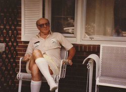
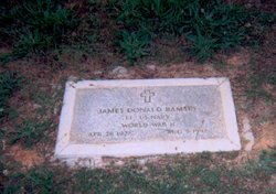
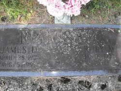
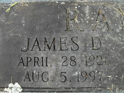
James Donald Ramsey Sr.
| Birth | : | 28 Apr 1926 Buena Vista City, Virginia, USA |
| Death | : | 5 Aug 1997 Buena Vista City, Virginia, USA |
| Burial | : | St James & St John Churchyard, Dorrington, North Kesteven District, England |
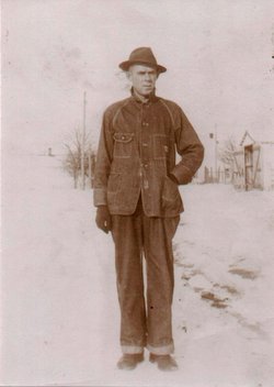
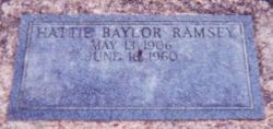
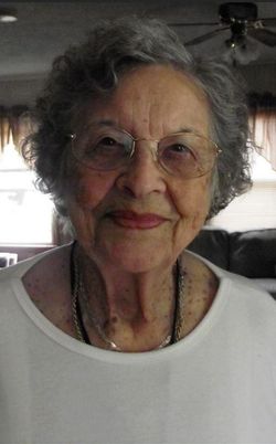
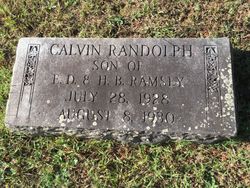
| Description | : | James Donald Ramsey, Sr. age 71, of Buena Vista, died Tuesday, August 5th, 1997 at his home. He was born April 28, 1926 in Buena Vista and was the son of Emmett Dewey and Hattie B. Coffey Ramsey. He was preceded in death by a brother Calvin Randolph Ramsey. Before retiring, he was employed for 40 years by Norfolk and Southern Railway as Road Master. He was a WWII Veteran, a member of the Masonic Lodge and of the First Brethern Church of Buena Vista. He was predeceased by a daughter Elizabeth R. Jervis and husband John, and 3 grandchildren,... Read More |
frequently asked questions (FAQ):
-
Where is James Donald Ramsey Sr.'s memorial?
James Donald Ramsey Sr.'s memorial is located at: St James & St John Churchyard, Dorrington, North Kesteven District, England.
-
When did James Donald Ramsey Sr. death?
James Donald Ramsey Sr. death on 5 Aug 1997 in Buena Vista City, Virginia, USA
Family Members:
Parent
Spouse
Siblings
Children
Nearby Cemetories:
1. St Denys' Churchyard
Aswarby, North Kesteven District, England
Coordinate: 53.1637001, -0.4151000
2. St. Oswald's Churchyard
Blankney, North Kesteven District, England
Coordinate: 53.1204000, -0.6795000
3. Brant Broughton Quaker Burial Ground
Brant Broughton, North Kesteven District, England
Coordinate: 53.1203200, -0.6716900
4. St Helen's Churchyard
Brant Broughton, North Kesteven District, England
Coordinate: 53.1203000, -0.6717000
5. All Saints Churchyard
Coleby, North Kesteven District, England
Coordinate: 53.1696789, -0.5998978
6. All Saints Far Lane Churchyard Extension
Coleby, North Kesteven District, England
7. Dunston Back Lane Cemetery
Dunston, North Kesteven District, England
Coordinate: 52.9035930, -0.4252890
8. St Peters Churchyard
Dunston, North Kesteven District, England
Coordinate: 53.0420800, -0.3397200
9. Great Hale New Cemetery
Great Hale, North Kesteven District, England
Coordinate: 53.0414520, -0.3391170
10. St John the Baptist Churchyard
Great Hale, North Kesteven District, England
Coordinate: 52.9367820, -0.4470450
11. St. Oswald's Churchyard
Howell, North Kesteven District, England
12. St Andrew Churchyard
Leasingham, North Kesteven District, England
Coordinate: 53.2159000, -0.5236900
13. All Saints Churchyard
Nocton, North Kesteven District, England
Coordinate: 53.1637001, -0.4151000
14. St Michael's Church
Norton Disney, North Kesteven District, England
Coordinate: 53.1204000, -0.6795000
15. St Peter's Churchyard
Norton Disney, North Kesteven District, England
Coordinate: 53.1203200, -0.6716900
16. St. Peter's Churchyard
Norton Disney, North Kesteven District, England
Coordinate: 53.1203000, -0.6717000
17. Saint Michael's Churchyard
South Hykeham, North Kesteven District, England
Coordinate: 53.1696789, -0.5998978
18. St Michael's Church Cemetery
Swaton, North Kesteven District, England
19. St Nicholas Churchyard
Walcot, North Kesteven District, England
Coordinate: 52.9035930, -0.4252890
20. Anwick Church Lane Churchyard Extension
Anwick, North Kesteven District, England
Coordinate: 53.0420800, -0.3397200
21. St Edith's Church
Anwick, North Kesteven District, England
Coordinate: 53.0414520, -0.3391170
22. St Thomas Churchyard
Aunsby, North Kesteven District, England
Coordinate: 52.9367820, -0.4470450
23. Saint Mary the Virgin Churchyard
Bloxholm, North Kesteven District, England
24. All Saints Churchyard
Canwick, North Kesteven District, England
Coordinate: 53.2159000, -0.5236900

