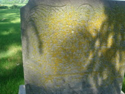
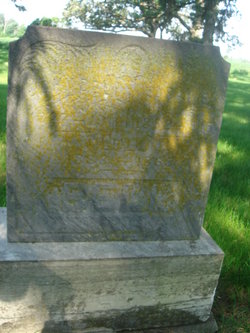
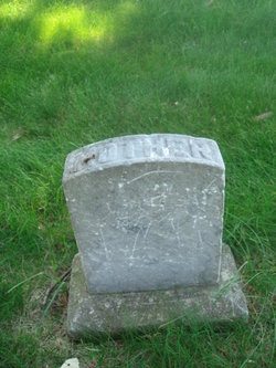
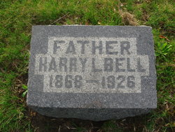
John Bell
| Birth | : | 1827 Ireland |
| Death | : | 1911 Floyd County, Iowa, USA |
| Burial | : | Ulsterville Cemetery, Ulster Township, Floyd County, USA |
| Coordinate | : | 43.0936012, -92.8842010 |
| Description | : | History of Floyd County 1882 John Bell Pages 1032 – 1033 Was born in Ireland in 1827. At the age of 21, in company with three brothers and five sisters, he left Ireland for Canada. While on the voyage they were taken with a disease called emigrant's fever. Two of the youngest boys died at sea and two sisters died soon after reaching Canada. Mr. Bell was taken to the hospital, but at the expiration of ten days slipped away from the authorities. Going to the country he secured places for his... Read More |
frequently asked questions (FAQ):
-
Where is John Bell's memorial?
John Bell's memorial is located at: Ulsterville Cemetery, Ulster Township, Floyd County, USA.
-
When did John Bell death?
John Bell death on 1911 in Floyd County, Iowa, USA
-
Where are the coordinates of the John Bell's memorial?
Latitude: 43.0936012
Longitude: -92.8842010
Family Members:
Spouse
Children
Flowers:
Nearby Cemetories:
1. Ulsterville Cemetery
Ulster Township, Floyd County, USA
Coordinate: 43.0936012, -92.8842010
2. Rudd Evergreen Cemetery
Rudd, Floyd County, USA
Coordinate: 43.1417007, -92.9214020
3. Riverside Cemetery
Rockford, Floyd County, USA
Coordinate: 43.0578003, -92.9464035
4. Flood Creek Cemetery
Floyd County, USA
Coordinate: 43.0391998, -92.8538971
5. West Saint Charles United Methodist Cemetery
Floyd County, USA
Coordinate: 43.0580597, -92.7897186
6. Rock Grove Township Cemetery
Nora Springs, Floyd County, USA
Coordinate: 43.1227989, -92.9880981
7. Park Cemetery
Nora Springs, Floyd County, USA
Coordinate: 43.1444016, -92.9982986
8. Saint Marys Catholic Cemetery
Roseville, Floyd County, USA
Coordinate: 43.0090000, -92.8134000
9. Oakwood Cemetery
Floyd, Floyd County, USA
Coordinate: 43.1178017, -92.7307968
10. Eden Presbyterian Cemetery
Meroa, Mitchell County, USA
Coordinate: 43.2131004, -92.9103012
11. Spring Grove Cemetery
Nora Springs, Floyd County, USA
Coordinate: 43.1631012, -93.0211029
12. West End Cemetery
Meroa, Mitchell County, USA
Coordinate: 43.2216682, -92.9250031
13. Dudley Cemetery
Dudley (historical), Mitchell County, USA
Coordinate: 43.2252998, -92.8743973
14. Hillside Cemetery
Marble Rock, Floyd County, USA
Coordinate: 42.9583015, -92.8666992
15. Calvary Cemetery
Osage, Mitchell County, USA
Coordinate: 43.2238998, -92.8300018
16. Westside Cemetery
Marble Rock, Floyd County, USA
Coordinate: 42.9556007, -92.8739014
17. Riverside Cemetery
Charles City, Floyd County, USA
Coordinate: 43.0766983, -92.6881027
18. Rock Creek Cemetery
Meroa, Mitchell County, USA
Coordinate: 43.2352791, -92.9225006
19. Orchard Cemetery
Orchard, Mitchell County, USA
Coordinate: 43.2249985, -92.7838898
20. Tucker Cemetery
Osage, Mitchell County, USA
Coordinate: 43.2494011, -92.8319016
21. Howardville Cemetery
Floyd, Floyd County, USA
Coordinate: 43.1866989, -92.7016983
22. Calvary Cemetery
Charles City, Floyd County, USA
Coordinate: 43.0574989, -92.6594009
23. Owens Grove Cemetery
Cerro Gordo County, USA
Coordinate: 43.0825005, -93.1144180
24. South Osage Mennonite Church Cemetery
Osage, Mitchell County, USA
Coordinate: 43.2544556, -92.7915573

