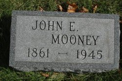
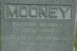
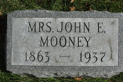
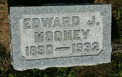
John E. Mooney
| Birth | : | Jun 1861 Ireland |
| Death | : | 1945 Clinton, Clinton County, Iowa, USA |
| Burial | : | Horeb Cemetery, Uniondale, Wells County, USA |
| Coordinate | : | 40.8271523, -85.2765503 |
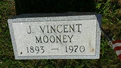
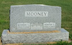
| Description | : | Father of Edward, Vincent, Eleanor, Cyril and Margaret Mooney. ------------------------- The Clinton Age, Clinton, Iowa, February 22, 1889 On Wednesday morning Mr. John E. Mooney, of the firm Scanlan & Mooney, was united in marriage to Miss Minnie E. McLaughlin, niece of Rev. E. J. McLaughlin. The impressive ceremony was said by the brides uncle, at the main altar at St. Marys Church, and Prof. Rehwoldt played a beautiful wedding march on the grand church organ. After the ceremony was wedding breakfast was discussed at the residence of Rev. McLaughlin, and afterwards the bridal party left on a trip east. The happy couple... Read More |
frequently asked questions (FAQ):
-
Where is John E. Mooney's memorial?
John E. Mooney's memorial is located at: Horeb Cemetery, Uniondale, Wells County, USA.
-
When did John E. Mooney death?
John E. Mooney death on 1945 in Clinton, Clinton County, Iowa, USA
-
Where are the coordinates of the John E. Mooney's memorial?
Latitude: 40.8271523
Longitude: -85.2765503
Family Members:
Parent
Spouse
Siblings
Children
Flowers:
Nearby Cemetories:
1. Horeb Cemetery
Uniondale, Wells County, USA
Coordinate: 40.8271523, -85.2765503
2. Saint Paul Cemetery
Uniondale, Wells County, USA
Coordinate: 40.7862625, -85.2535172
3. Old Rock Creek Cemetery
Murray, Wells County, USA
Coordinate: 40.7855492, -85.2558365
4. Markle Cemetery
Markle, Huntington County, USA
Coordinate: 40.8270187, -85.3465195
5. Redding Cemetery
Markle, Wells County, USA
Coordinate: 40.7824097, -85.3178864
6. Prospect Cemetery
Uniondale, Wells County, USA
Coordinate: 40.8735542, -85.2366638
7. Saint John's Cemetery
Zanesville, Wells County, USA
Coordinate: 40.8838997, -85.2608032
8. Sparks Cemetery
Wells County, USA
Coordinate: 40.7872009, -85.3347015
9. Emmanuel Cemetery
Rockford, Wells County, USA
Coordinate: 40.7730331, -85.3177872
10. Spider Hill Cemetery
Wells County, USA
Coordinate: 40.7705994, -85.3186035
11. Pet Rest Gardens
Ossian, Wells County, USA
Coordinate: 40.8299070, -85.1902010
12. Murray Cemetery
Murray, Wells County, USA
Coordinate: 40.8003006, -85.1956024
13. Rockford Cemetery
Rockford, Wells County, USA
Coordinate: 40.7587471, -85.3086472
14. Crisamore Cemetery
Ossian, Wells County, USA
Coordinate: 40.8955600, -85.2326200
15. Jones Cemetery
Union Township, Wells County, USA
Coordinate: 40.9027450, -85.3059200
16. Uniontown Cemetery
Zanesville, Wells County, USA
Coordinate: 40.9085846, -85.2607727
17. Old Uniontown Cemetery
Zanesville, Wells County, USA
Coordinate: 40.9089737, -85.2565002
18. Hoverstock Cemetery
Zanesville, Wells County, USA
Coordinate: 40.9135361, -85.2816620
19. Ossian Cemetery
Ossian, Wells County, USA
Coordinate: 40.8779259, -85.1691513
20. Oak Lawn Cemetery
Ossian, Wells County, USA
Coordinate: 40.8744011, -85.1656036
21. Union Cemetery
Huntington, Huntington County, USA
Coordinate: 40.8901820, -85.3810110
22. Barnes Chapel Cemetery
Browns Corner, Huntington County, USA
Coordinate: 40.8242836, -85.4112320
23. Jones Cemetery
Huntington County, USA
Coordinate: 40.9103050, -85.3557739
24. Star of Hope Cemetery
Huntington, Huntington County, USA
Coordinate: 40.8272018, -85.4124985

