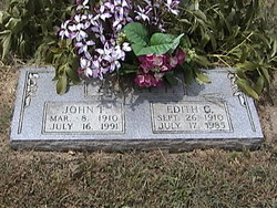
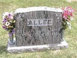
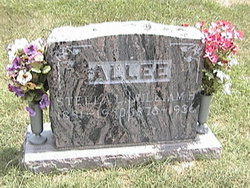
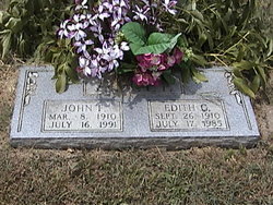
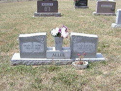
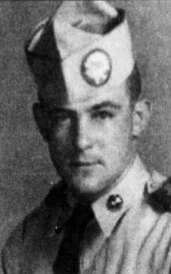
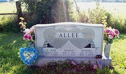
John Franklin Allee
| Birth | : | 8 Mar 1910 Moniteau County, Missouri, USA |
| Death | : | 16 Jul 1991 Moniteau County, Missouri, USA |
| Burial | : | Harman Cemetery, Gilboa, Putnam County, USA |
| Coordinate | : | 41.0161018, -83.9441986 |
frequently asked questions (FAQ):
-
Where is John Franklin Allee's memorial?
John Franklin Allee's memorial is located at: Harman Cemetery, Gilboa, Putnam County, USA.
-
When did John Franklin Allee death?
John Franklin Allee death on 16 Jul 1991 in Moniteau County, Missouri, USA
-
Where are the coordinates of the John Franklin Allee's memorial?
Latitude: 41.0161018
Longitude: -83.9441986
Family Members:
Parent
Spouse
Siblings
Children
Flowers:
Nearby Cemetories:
1. Harman Cemetery
Gilboa, Putnam County, USA
Coordinate: 41.0161018, -83.9441986
2. Crawfis Cemetery
Gilboa, Putnam County, USA
Coordinate: 41.0127983, -83.9332962
3. Cholera Cemetery
Gilboa, Putnam County, USA
Coordinate: 41.0231018, -83.9235992
4. Maidlow Cemetery
Gilboa, Putnam County, USA
Coordinate: 41.0433006, -83.9710999
5. Riley Creek Cemetery
Ottawa, Putnam County, USA
Coordinate: 40.9933014, -83.9981003
6. Fairchild Cemetery
Blanchard Township, Putnam County, USA
Coordinate: 41.0245700, -83.8819900
7. Mallahan Cemetery
Ottawa, Putnam County, USA
Coordinate: 40.9790000, -83.9894000
8. Blanchard Cemetery
Leipsic, Putnam County, USA
Coordinate: 41.0588989, -83.9819031
9. Colclo Cemetery
McComb, Hancock County, USA
Coordinate: 41.0384650, -83.8661150
10. Pleasant Ridge Cemetery
Pandora, Putnam County, USA
Coordinate: 40.9522018, -83.9428024
11. Hilty Cemetery
Pandora, Putnam County, USA
Coordinate: 40.9522018, -83.9693985
12. Saint John Mennonite Church Cemetery
Pandora, Putnam County, USA
Coordinate: 40.9494019, -83.9392014
13. Pandora Cemetery
Pandora, Putnam County, USA
Coordinate: 40.9444008, -83.9625015
14. Pomeroy Cemetery
Ottawa, Putnam County, USA
Coordinate: 41.0115100, -84.0457400
15. Sugar Ridge Cemetery
Leipsic, Putnam County, USA
Coordinate: 41.0910988, -83.9661026
16. Pioneer Cemetery
Ottawa, Putnam County, USA
Coordinate: 41.0235500, -84.0460000
17. Saint Marys Cemetery
Leipsic, Putnam County, USA
Coordinate: 41.0905991, -83.9721985
18. Pleasant View Cemetery
Mount Cory, Hancock County, USA
Coordinate: 40.9514210, -83.8743760
19. Clymer Cemetery
Mount Cory, Hancock County, USA
Coordinate: 40.9500008, -83.8730011
20. Saints Peter And Paul Cemetery
Ottawa, Putnam County, USA
Coordinate: 41.0172005, -84.0575027
21. McConnell Cemetery
Leipsic, Putnam County, USA
Coordinate: 41.0872002, -84.0111008
22. Holy Family Cemetery
New Cleveland, Putnam County, USA
Coordinate: 41.0736008, -84.0385971
23. Wisely Cemetery
Columbus Grove, Putnam County, USA
Coordinate: 40.9427986, -84.0180969
24. Saint John the Baptist Catholic Church Cemetery
Glandorf, Putnam County, USA
Coordinate: 41.0303001, -84.0717010

