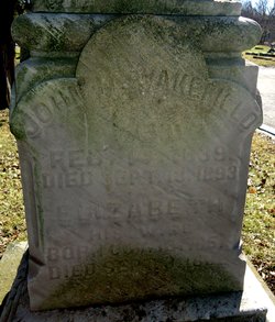
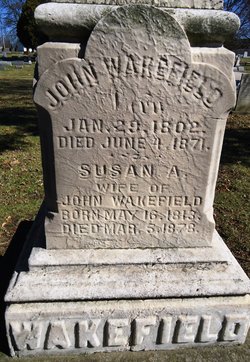
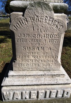
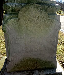
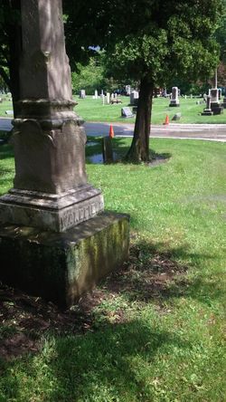
John H. WAKEFIELD
| Birth | : | Feb 1839 Rhode Island, USA |
| Death | : | 18 Sep 1893 Cuyahoga County, Ohio, USA |
| Burial | : | Rookwood Memorial Gardens and Crematorium, Rookwood, Cumberland Council, Australia |
| Coordinate | : | -33.8768500, 151.0598900 |
| Plot | : | Section 3, Lot 28, grave 1 |
| Description | : | Civil War veteran. Sgt.Co.D,1st OVI.At age 22. he was wounded at Pickett's Mill, and had his arm amputated. He was buried in Bedford Cemetery, Bedford, Ohio, Sept 18, 1893. Mrs. J.H.Wakefield was buried Sept 3,1882, in the same plot, grave 2. (Many of John's company were with him at Pickett's Mill: Thos. Button, 43, wounded; Wm. Deisman, 21, wounded; Royal Dunham, 18, killed; Benoah Kellog,19, wounded, and Spencer Sawyer,19, wounded.) |
frequently asked questions (FAQ):
-
Where is John H. WAKEFIELD's memorial?
John H. WAKEFIELD's memorial is located at: Rookwood Memorial Gardens and Crematorium, Rookwood, Cumberland Council, Australia.
-
When did John H. WAKEFIELD death?
John H. WAKEFIELD death on 18 Sep 1893 in Cuyahoga County, Ohio, USA
-
Where are the coordinates of the John H. WAKEFIELD's memorial?
Latitude: -33.8768500
Longitude: 151.0598900
Family Members:
Parent
Spouse
Siblings
Flowers:
Nearby Cemetories:
1. Rookwood Memorial Gardens and Crematorium
Rookwood, Cumberland Council, Australia
Coordinate: -33.8768500, 151.0598900
2. New South Wales Cremation Memorial
Rookwood, Cumberland Council, Australia
Coordinate: -33.8776400, 151.0627700
3. New South Wales Garden of Remembrance
Rookwood, Cumberland Council, Australia
Coordinate: -33.8776400, 151.0627700
4. Rookwood General Cemetery
Rookwood, Cumberland Council, Australia
Coordinate: -33.8740500, 151.0591100
5. Sydney War Cemetery
Rookwood, Cumberland Council, Australia
Coordinate: -33.8769700, 151.0636100
6. Sydney Memorial
Rookwood, Cumberland Council, Australia
Coordinate: -33.8773100, 151.0642800
7. Rookwood Catholic Cemeteries and Crematoria
Rookwood, Cumberland Council, Australia
Coordinate: -33.8793500, 151.0547850
8. St. Thomas Anglican Cemetery
Enfield, Burwood Municipality, Australia
Coordinate: -33.8912070, 151.0916610
9. St Paul's Anglican Church
Burwood, Burwood Municipality, Australia
Coordinate: -33.8816114, 151.1027492
10. St. Mary's Roman Catholic Church Cemetery
Concord, Canada Bay City, Australia
Coordinate: -33.8677100, 151.1024300
11. Longbottom Cemetery
Concord, Canada Bay City, Australia
Coordinate: -33.8596140, 151.0986280
12. Saint Felix de Valois-Catholic Church Cemetery
Bankstown, Canterbury-Bankstown Council, Australia
Coordinate: -33.9076100, 151.0351850
13. St. Luke's Anglican Church Columbarium
Concord, Canada Bay City, Australia
Coordinate: -33.8678417, 151.1068448
14. St. Saviour's Church of England Cemetery
Punchbowl, Canterbury-Bankstown Council, Australia
Coordinate: -33.9311480, 151.0552250
15. St. John's Anglican Church Cemetery
Ashfield, Inner West Council, Australia
Coordinate: -33.8817160, 151.1278730
16. Granville Anglican Columbarium
Granville, City of Parramatta Council, Australia
Coordinate: -33.8333500, 151.0084450
17. St. Paul's Anglican Church Cemetery
Canterbury, Canterbury-Bankstown Council, Australia
Coordinate: -33.9081600, 151.1236000
18. Moorefields Methodist Cemetery
Kingsgrove, Canterbury-Bankstown Council, Australia
Coordinate: -33.9343560, 151.0904450
19. St David’s Presbyterian Cemetery
Haberfield, Inner West Council, Australia
Coordinate: -33.8823220, 151.1378500
20. Merrylands Anglican Church Columbarium
Merrylands, Cumberland Council, Australia
Coordinate: -33.8401100, 150.9870800
21. Saint Annes Church Cemetery
Ryde, Ryde City, Australia
Coordinate: -33.8156960, 151.1042650
22. Gladesville Asylum Cemetery
Gladesville, Hunter's Hill Municipality, Australia
Coordinate: -33.8393010, 151.1342490
23. St Charles Borromeo Cemetery
Ryde, Ryde City, Australia
Coordinate: -33.8188360, 151.1146200
24. St Thomas Becket Churchyard
Lewisham, Inner West Council, Australia
Coordinate: -33.8928760, 151.1480490

