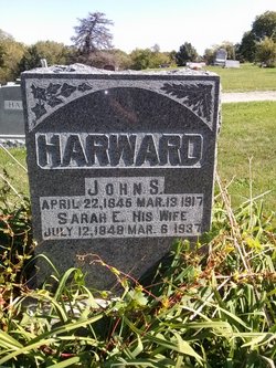
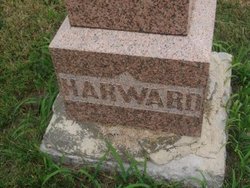
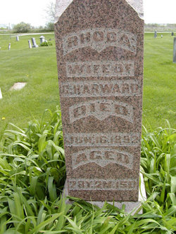
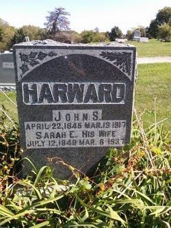
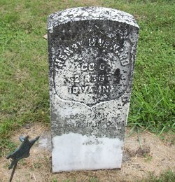
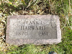
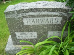
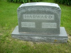
John Simpson Harward
| Birth | : | 22 Apr 1845 Davis County, Iowa, USA |
| Death | : | 13 Mar 1917 Davis County, Iowa, USA |
| Burial | : | Jordan Springs Cemetery, Brownwood, Brown County, USA |
| Coordinate | : | 31.6180992, -99.0044022 |
| Description | : | John Simpson Harward (Howard) enlisted as a 16 yr. old (He gives his age as 18) on July 16,1861 at Camp Warren, Burlington, Iowa in Co. I, 5th Iowa Infantry. He was wounded in the foot Sept.19,1862 at the Battle of Iuka, Ms. He was mustered out at the expiration of his term of service on July 31,1864. He is listed as living at Floris, Davis Co., Ia. at the time of the 1887 and 1897 reunions of the 5th Iowa. John filed for an invalid pension on Feb.13,1880 and received certificate # 213.851. John S. is found on the 1900 Federal Census... Read More |
frequently asked questions (FAQ):
-
Where is John Simpson Harward's memorial?
John Simpson Harward's memorial is located at: Jordan Springs Cemetery, Brownwood, Brown County, USA.
-
When did John Simpson Harward death?
John Simpson Harward death on 13 Mar 1917 in Davis County, Iowa, USA
-
Where are the coordinates of the John Simpson Harward's memorial?
Latitude: 31.6180992
Longitude: -99.0044022
Family Members:
Parent
Spouse
Siblings
Children
Flowers:
Nearby Cemetories:
1. Cedar Point Cemetery
Brownwood, Brown County, USA
Coordinate: 31.6443996, -99.0306015
2. Indian Creek Cemetery
Indian Creek, Brown County, USA
Coordinate: 31.5636005, -98.9764023
3. The Columbarium in Greenleaf Cemetery
Brownwood, Brown County, USA
Coordinate: 31.6935046, -98.9720269
4. Gentry Cemetery
Brookesmith, Brown County, USA
Coordinate: 31.5668354, -99.0820847
5. Greenleaf Cemetery
Brownwood, Brown County, USA
Coordinate: 31.7047005, -98.9969025
6. Connell Cemetery
Brownwood, Brown County, USA
Coordinate: 31.7021520, -98.9386880
7. Saint Johns Church Columbarium
Brownwood, Brown County, USA
Coordinate: 31.7193510, -98.9853440
8. Elkins Cemetery
Brownwood, Brown County, USA
Coordinate: 31.5955030, -98.8795980
9. Clear Creek Cemetery
Bangs, Brown County, USA
Coordinate: 31.7031002, -99.0907974
10. Brooks Lee Cemetery
Brown County, USA
Coordinate: 31.5817260, -99.1308670
11. Beaird Cemetery
Brownwood, Brown County, USA
Coordinate: 31.6939030, -98.8982350
12. Carr-Smith Cemetery
Brookesmith, Brown County, USA
Coordinate: 31.5523570, -99.1290410
13. Bangs Cemetery
Bangs, Brown County, USA
Coordinate: 31.7081710, -99.1272160
14. W. F. Brown Family Cemetery
Early, Brown County, USA
Coordinate: 31.7479000, -98.9421000
15. Eastlawn Memorial Park
Early, Brown County, USA
Coordinate: 31.7567005, -98.9047012
16. Eureka Cemetery
Blanket, Brown County, USA
Coordinate: 31.7578163, -98.9065170
17. Staley Cemetery
Early, Brown County, USA
Coordinate: 31.7733002, -98.9452972
18. McDaniel Cemetery
Bangs, Brown County, USA
Coordinate: 31.7560997, -99.1093979
19. Jones Chapel Cemetery
Early, Brown County, USA
Coordinate: 31.7618999, -98.9096985
20. Ladd Cemetery
Early, Brown County, USA
Coordinate: 31.7487040, -98.8861670
21. Rocky Creek Cemetery
Brownwood, Brown County, USA
Coordinate: 31.7704650, -99.0845650
22. Mukewater Cemetery
Bangs, Brown County, USA
Coordinate: 31.7155991, -99.1716995
23. Jenkins Springs Cemetery
Early, Brown County, USA
Coordinate: 31.7412020, -98.8613270
24. Rice Cemetery
Brown County, USA
Coordinate: 31.5405998, -99.1896973

