

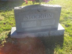
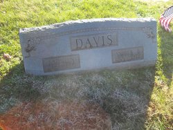
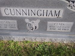
Kathleen Stockton Davis
| Birth | : | 17 Jul 1915 Clay County, Tennessee, USA |
| Death | : | 30 Sep 1995 Lafayette, Tippecanoe County, Indiana, USA |
| Burial | : | Macedonia Cemetery, Moss, Clay County, USA |
| Coordinate | : | 36.5643997, -85.6110992 |
| Description | : | Kathleen Stockton Davis, 80, a former resident of Brookston Indiana, died at 12 am Saturday, September 30, 1995, in St Elizabeth Hospital Medical Center in Lafayette Indiana. She had been a patient since September 19. Mrs. Davis was born July 17, 1915 in Celina Tennessee to John Mike Stockton and Vinnie May Boyles Stockton. She married Andrew "Andy" Davis on March 4, 1941. He died on July 8, 1973. She had lived at Route 2, Brookston from 1957 until moving to the Farrington Apartments in... Read More |
frequently asked questions (FAQ):
-
Where is Kathleen Stockton Davis's memorial?
Kathleen Stockton Davis's memorial is located at: Macedonia Cemetery, Moss, Clay County, USA.
-
When did Kathleen Stockton Davis death?
Kathleen Stockton Davis death on 30 Sep 1995 in Lafayette, Tippecanoe County, Indiana, USA
-
Where are the coordinates of the Kathleen Stockton Davis's memorial?
Latitude: 36.5643997
Longitude: -85.6110992
Family Members:
Parent

Spouse
Siblings

Children

Flowers:


Nearby Cemetories:
1. Strong Family Cemetery
Clay County, USA
Coordinate: 36.5690700, -85.6042600
2. McLerran Cemetery
Moss, Clay County, USA
Coordinate: 36.5790000, -85.5973000
3. Kendall Cemetery
Moss, Clay County, USA
Coordinate: 36.5672540, -85.6362650
4. Moss Cemetery
Moss, Clay County, USA
Coordinate: 36.5911210, -85.6214460
5. Eads-Denton Cemetery
Pine Hill, Clay County, USA
Coordinate: 36.5644207, -85.6503187
6. Odle Cemetery
Clay County, USA
Coordinate: 36.5966988, -85.6085968
7. Spear Family Cemetery
Moss, Clay County, USA
Coordinate: 36.5933200, -85.5876500
8. Meadows Cemetery
Clay County, USA
Coordinate: 36.5946999, -85.5875015
9. Smith Cemetery
Pine Hill, Clay County, USA
Coordinate: 36.5714930, -85.6568170
10. Liberty Church Cemetery
Boles, Clay County, USA
Coordinate: 36.6010850, -85.6496830
11. Dalton Cemetery
Arcott, Clay County, USA
Coordinate: 36.5429540, -85.5546170
12. Moore Cemetery
Moss, Clay County, USA
Coordinate: 36.6113400, -85.6374980
13. Walker Reecer Cemetery
Celina, Clay County, USA
Coordinate: 36.5746290, -85.5480270
14. New Hope Cemetery
Clay County, USA
Coordinate: 36.6021996, -85.5653000
15. Archibald Plumlee Cemetery
Pine Hill, Clay County, USA
Coordinate: 36.5203018, -85.5682983
16. Pricetown Cemetery
Clay County, USA
Coordinate: 36.5422500, -85.6750670
17. Willhoite-Curtis Cemetery
Tompkinsville, Monroe County, USA
Coordinate: 36.6182208, -85.6442948
18. Lester Brown Family Cemetery
Arcott, Clay County, USA
Coordinate: 36.5205700, -85.5547530
19. Jonestown Cemetery
Clay County, USA
Coordinate: 36.5619011, -85.6921997
20. McColgan Cemetery
Clay County, USA
Coordinate: 36.5163994, -85.5560989
21. Roberts Cemetery
Celina, Clay County, USA
Coordinate: 36.5066986, -85.5727997
22. Freedom Cemetery #2
Tompkinsville, Monroe County, USA
Coordinate: 36.6284060, -85.6289940
23. Plumlee Cemetery
Celina, Clay County, USA
Coordinate: 36.5694280, -85.5282830
24. Moore Cemetery #1
Moss, Clay County, USA
Coordinate: 36.6164920, -85.6636620