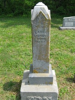
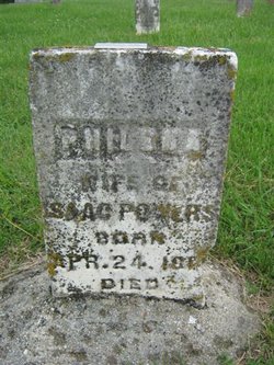
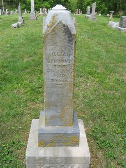
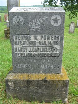
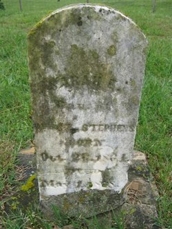
Laura E Powers Stephens
| Birth | : | 15 Jul 1834 Indiana, USA |
| Death | : | 25 May 1909 Gentryville, Spencer County, Indiana, USA |
| Burial | : | Tewantin Cemetery, Tewantin, Noosa Shire, Australia |
| Coordinate | : | -26.3950054, 153.0254472 |
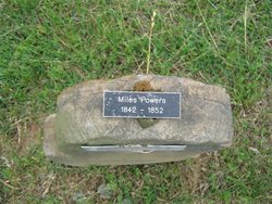
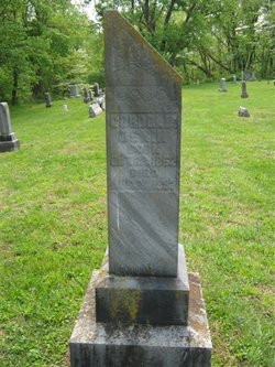
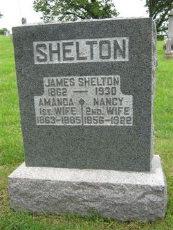
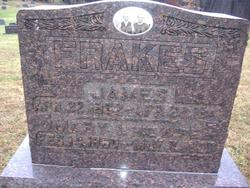
| Description | : | Daughter of Isaac Powers [1804-1889] and Philenia Rice Powers. Married to William E Stephens on September 11, 1851 in Warrick County, Indiana. William and Laura were the parents of: Elizabeth Cordelia Stephens Oskin Nancy Ann P Stephens Shelton James E Stephens(1858-unk) Mary Isabelle Stephens Frakes Sarah E Stephens Edna J Stephens Stephenson ********************************* 1850 United States Federal Census Name: Laura E Powers Age: 17 Birth Year: abt 1833 Birthplace: Indiana Home in 1850: Skelton, Warrick, Indiana Gender: Female Family Number: 118 Household Members: Name Age Isaac Powers 47 Philena Powers 42 Mariah Powers 18 Laura E Powers 17 Minerva Powers 20 George Powers 15 John Powers ... Read More |
frequently asked questions (FAQ):
-
Where is Laura E Powers Stephens's memorial?
Laura E Powers Stephens's memorial is located at: Tewantin Cemetery, Tewantin, Noosa Shire, Australia.
-
When did Laura E Powers Stephens death?
Laura E Powers Stephens death on 25 May 1909 in Gentryville, Spencer County, Indiana, USA
-
Where are the coordinates of the Laura E Powers Stephens's memorial?
Latitude: -26.3950054
Longitude: 153.0254472
Family Members:
Parent
Spouse
Siblings
Children
Flowers:
Nearby Cemetories:
1. Cooroy Cemetery
Cooroy, Noosa Shire, Australia
Coordinate: -26.4095520, 152.9143240
2. Eumundi Cemetery
Eumundi, Sunshine Coast Council, Australia
Coordinate: -26.4913680, 152.9405570
3. Pomona Cemetery
Pomona, Noosa Shire, Australia
Coordinate: -26.3441600, 152.8530740
4. Yandina Cemetery
Yandina, Sunshine Coast Council, Australia
Coordinate: -26.5720000, 152.9570000
5. Kulangoor Lawn Cemetery
Kulangoor, Sunshine Coast Council, Australia
Coordinate: -26.5884880, 152.9647280
6. Nambour Garden Lawn Cemetery
Nambour, Sunshine Coast Council, Australia
Coordinate: -26.6116920, 152.9700810
7. Nambour General Cemetery
Nambour, Sunshine Coast Council, Australia
Coordinate: -26.6156180, 152.9713150
8. Gregson & Weight Chapel & Crematorium
Nambour, Sunshine Coast Council, Australia
Coordinate: -26.6156420, 152.9649380
9. Diddillibah Cemetery
Nambour, Sunshine Coast Council, Australia
Coordinate: -26.6471020, 153.0212960
10. Gheerulla Cemetery
Gheerulla, Sunshine Coast Council, Australia
Coordinate: -26.5538100, 152.7713320
11. Mapleton Cemetery
Mapleton, Sunshine Coast Council, Australia
Coordinate: -26.6241030, 152.8479884
12. Woombye Cemetery
Woombye, Sunshine Coast Council, Australia
Coordinate: -26.6806580, 152.9732640
13. Buderim Lawn Crematorium and Memorial Gardens
Buderim, Sunshine Coast Council, Australia
Coordinate: -26.6800700, 153.0924660
14. Flaxton Cemetery
Flaxton, Sunshine Coast Council, Australia
Coordinate: -26.6617420, 152.8731570
15. Kandanga Cemetery
Kandanga, Gympie Region, Australia
Coordinate: -26.3842440, 152.6888120
16. St Mary's Church
Montville, Sunshine Coast Council, Australia
Coordinate: -26.6879465, 152.8926176
17. Cooloola Coast Crematorium
Monkland, Gympie Region, Australia
Coordinate: -26.2148230, 152.6868250
18. Witta Cemetery
Witta, Sunshine Coast Council, Australia
Coordinate: -26.7061560, 152.8270080
19. Mooloolah General Cemetery
Glenview, Sunshine Coast Council, Australia
Coordinate: -26.7750000, 153.0377780
20. Gympie Cemetery
Gympie, Gympie Region, Australia
Coordinate: -26.1749860, 152.6530570
21. Caloundra Cemetery
Caloundra, Sunshine Coast Council, Australia
Coordinate: -26.7940280, 153.1310910
22. Gregson and Weight Caloundra Memorial Gardens
Caloundra, Sunshine Coast Council, Australia
Coordinate: -26.8007321, 153.1174489
23. Cooloola Coast Cemetery
Cooloola Cove, Gympie Region, Australia
Coordinate: -25.9831920, 152.9677170
24. Australia Zoo
Beerwah, Sunshine Coast Council, Australia
Coordinate: -26.8361140, 152.9615310

