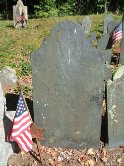
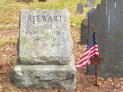
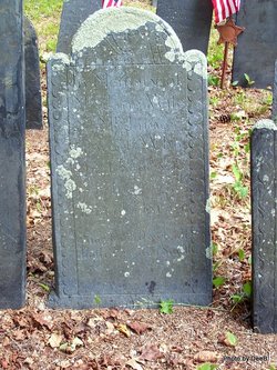
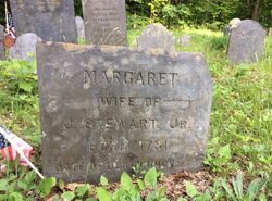
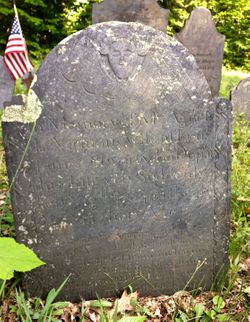
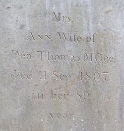
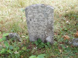
Lieut James Stewart Jr.
| Birth | : | 11 Nov 1729 Colrain, Franklin County, Massachusetts, USA |
| Death | : | 14 Aug 1809 Colrain, Franklin County, Massachusetts, USA |
| Burial | : | Swiss Cemetery, Hohenwald, Lewis County, USA |
| Coordinate | : | 35.5410995, -87.5485992 |
| Description | : | Father: James Stewart Mother: Jane Clark Spouses: Agnes Paul, Margaret STEWART |
frequently asked questions (FAQ):
-
Where is Lieut James Stewart Jr.'s memorial?
Lieut James Stewart Jr.'s memorial is located at: Swiss Cemetery, Hohenwald, Lewis County, USA.
-
When did Lieut James Stewart Jr. death?
Lieut James Stewart Jr. death on 14 Aug 1809 in Colrain, Franklin County, Massachusetts, USA
-
Where are the coordinates of the Lieut James Stewart Jr.'s memorial?
Latitude: 35.5410995
Longitude: -87.5485992
Family Members:
Parent
Spouse
Siblings
Children
Flowers:
Nearby Cemetories:
1. Swiss Cemetery
Hohenwald, Lewis County, USA
Coordinate: 35.5410995, -87.5485992
2. Saint Peters Cemetery
Hohenwald, Lewis County, USA
Coordinate: 35.5494290, -87.5439070
3. Lewis County Memorial Gardens
Hohenwald, Lewis County, USA
Coordinate: 35.5361700, -87.5221900
4. Lomax Cemetery
Lewis County, USA
Coordinate: 35.5578003, -87.5781021
5. Downey Cemetery
Hohenwald, Lewis County, USA
Coordinate: 35.5705986, -87.5522003
6. Grassy Valley Cemetery
Lewis County, USA
Coordinate: 35.5186005, -87.5749969
7. New Hope Cemetery
Hohenwald, Lewis County, USA
Coordinate: 35.5249170, -87.5922500
8. Freedom Holy Temple Cemetery
Hohenwald, Lewis County, USA
Coordinate: 35.5015340, -87.5482810
9. Loveless Cemetery
Hohenwald, Lewis County, USA
Coordinate: 35.5647087, -87.5078506
10. Deavers Cemetery
Lewis County, USA
Coordinate: 35.5503006, -87.6010971
11. Grinders Creek Cemetery
Lewis County, USA
Coordinate: 35.4944000, -87.5438995
12. Goodman Cemetery
Lewis County, USA
Coordinate: 35.5732994, -87.5935974
13. Springer Cemetery
Lewis County, USA
Coordinate: 35.5278015, -87.4888992
14. Grinders Creek Cemetery
Lewis County, USA
Coordinate: 35.5099983, -87.4963989
15. Poore Cemetery
Lewis County, USA
Coordinate: 35.4874992, -87.5430984
16. Piney Cemetery
Lewis County, USA
Coordinate: 35.5489006, -87.4807968
17. Wright Cemetery
Lewis County, USA
Coordinate: 35.5208015, -87.4803009
18. Crowell Cemetery
Lewis County, USA
Coordinate: 35.4791985, -87.5714035
19. Langford Cemetery
Lewis County, USA
Coordinate: 35.5985985, -87.5083008
20. Blackburn Cemetery
Lewis County, USA
Coordinate: 35.5682983, -87.6243973
21. Fain Cemetery
Lewis County, USA
Coordinate: 35.5606003, -87.6286011
22. Lees Lake Cemetery
Lewis County, USA
Coordinate: 35.5999985, -87.5931015
23. Blann Cemetery
Lewis County, USA
Coordinate: 35.6060982, -87.5147018
24. Turnbow Cemetery
Lewis County, USA
Coordinate: 35.5278015, -87.6380997

