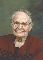
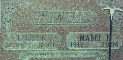
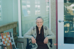
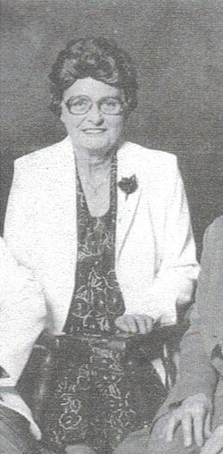
Mabel Ethal Anderson Howells
| Birth | : | 3 Oct 1912 Barnwell, Lethbridge Census Division, Alberta, Canada |
| Death | : | 11 Mar 2006 Taber, Lethbridge Census Division, Alberta, Canada |
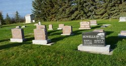
| Burial | : | Barnwell Cemetery, Barnwell, Lethbridge Census Division, Canada |
| Coordinate | : | 49.7691400, -112.2723800 |
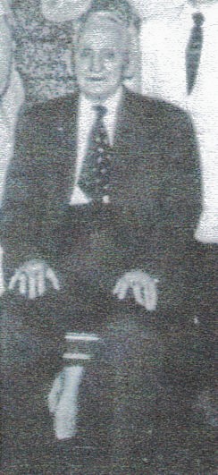
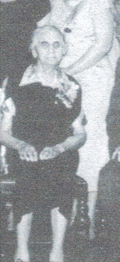
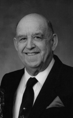
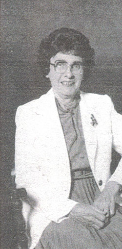
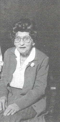
| Description | : | Mabel is my first cousin three times removed . MABEL MURPHY 1912 - 2006 Mrs. Mabel Ethel Howells Murphy (nee: Anderson) passed away peacefully in Taber Continuing Care on Saturday, March 11, 2006 at the age of 93 years. Mabel was born in Barnwell on October 3, 1912, the youngest of six children. She married Glyn Howells on October 20, 1938. After Glyn's death in 1961 Mabel took a nursing course in Calgary and later worked at the Lethbridge Regional and Taber Hospitals, retiring in 1977. Mabel married Bill Murphy on April 26, 1975 and after his death in... Read More |
frequently asked questions (FAQ):
-
Where is Mabel Ethal Anderson Howells's memorial?
Mabel Ethal Anderson Howells's memorial is located at: Barnwell Cemetery, Barnwell, Lethbridge Census Division, Canada.
-
When did Mabel Ethal Anderson Howells death?
Mabel Ethal Anderson Howells death on 11 Mar 2006 in Taber, Lethbridge Census Division, Alberta, Canada
-
Where are the coordinates of the Mabel Ethal Anderson Howells's memorial?
Latitude: 49.7691400
Longitude: -112.2723800
Family Members:
Parent
Spouse
Siblings
Children
Flowers:
Nearby Cemetories:
1. Barnwell Cemetery
Barnwell, Lethbridge Census Division, Canada
Coordinate: 49.7691400, -112.2723800
2. Hillridge Hutterite Colony Cemetery
Cranford, Lethbridge Census Division, Canada
Coordinate: 49.7196094, -112.3393464
3. Taber Memorial Garden Cemetery
Taber, Lethbridge Census Division, Canada
Coordinate: 49.8144800, -112.1514000
4. Lakeside Hutterite Colony Cemetery
Cranford, Lethbridge Census Division, Canada
Coordinate: 49.6685448, -112.3586315
5. Rock Lake Colony Cemetery
Coaldale, Lethbridge Census Division, Canada
Coordinate: 49.6219440, -112.2750000
6. New York Hutterite Cemetery
Judson, Lethbridge Census Division, Canada
Coordinate: 49.5931870, -112.3956383
7. Copperfield Hutterite Cemetery
Vauxhall, Lethbridge Census Division, Canada
Coordinate: 49.9411363, -112.0552656
8. Coaldale Community Cemetery
Coaldale, Lethbridge Census Division, Canada
Coordinate: 49.7355600, -112.6242300
9. Coaldale Mennonite Cemetery
Coaldale, Lethbridge Census Division, Canada
Coordinate: 49.7355600, -112.6242300
10. Purple Springs Cemetery
Purple Springs, Lethbridge Census Division, Canada
Coordinate: 49.8151230, -111.9119390
11. Wilson Siding Hutterite Cemetery
Wilson, Lethbridge Census Division, Canada
Coordinate: 49.6203914, -112.5781130
12. Wrentham Cemetery
Wrentham, Lethbridge Census Division, Canada
Coordinate: 49.5231200, -112.1574800
13. Retlaw Cemetery
Retlaw, Lethbridge Census Division, Canada
Coordinate: 50.0511500, -112.2528400
14. Huntsville Cemetery
Iron Springs, Lethbridge Census Division, Canada
Coordinate: 49.9028100, -112.6886100
15. Stirling Cemetery
Stirling, Lethbridge Census Division, Canada
Coordinate: 49.5093400, -112.5380000
16. Prairie Home Hutterite Colony Cemetery
Wrentham, Lethbridge Census Division, Canada
Coordinate: 49.5291670, -111.9608330
17. Gold Ridge Hutterite Cemetery
Turin, Lethbridge Census Division, Canada
Coordinate: 50.0106815, -112.5863339
18. Vauxhall Cemetery
Vauxhall, Lethbridge Census Division, Canada
Coordinate: 50.0691000, -112.0952900
19. Picture Butte Memorial Cemetery
Picture Butte, Lethbridge Census Division, Canada
Coordinate: 49.8671600, -112.7760500
20. New Dayton Community Cemetery
New Dayton, Lethbridge Census Division, Canada
Coordinate: 49.4254300, -112.3601800
21. Stirling Mennonite Church Cemetery
Stirling, Lethbridge Census Division, Canada
Coordinate: 49.4607570, -112.5387970
22. Westview Cemetery of Grassy Lake
Grassy Lake, Lethbridge Census Division, Canada
Coordinate: 49.6739330, -111.7435100
23. Royal View Memorial Cemetery
Lethbridge, Lethbridge Census Division, Canada
Coordinate: 49.7518540, -112.8242250
24. Diamond City Cemetery
Diamond City, Lethbridge Census Division, Canada
Coordinate: 49.7979150, -112.8326800

