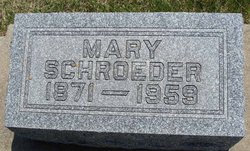
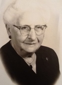
Mary Albertine Harnack Schroeder
| Birth | : | 10 Oct 1871 Farmersburg, Clayton County, Iowa, USA |
| Death | : | 4 Dec 1959 |
| Burial | : | Postville Cemetery, Clayton County, USA |
| Coordinate | : | 43.0811081, -91.5655594 |
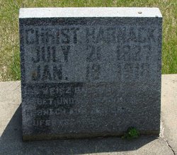
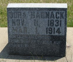
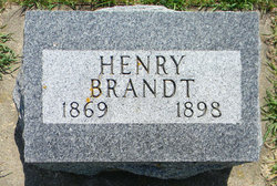
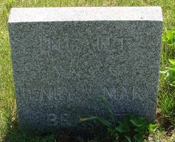
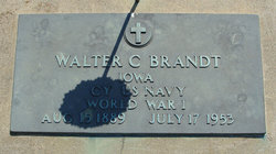
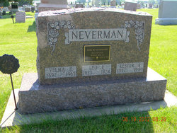
| Description | : | Mary Albertine Harnack was born October 10, 1871 in Farmersburg township, Clayton county, Iowa, the daughter of Christian Harnack and his wife Dorothea Sass Harnack. She was baptized in the Zion Lutheran Church, Clayton Center, Iowa on February 16, 1872. She was confirmed in St. Paul's Evangelical Lutheran Church of Postville on March 29, 1885, and remained a member of this church until her death. She was married to Henry Brandt in December 1888. They had three children, Walter Brandt, formerly of Harrisburg, Pennsylvania; Velma, Mrs. Lester Neverman of Waukon; and a girl, who died in infancy. Henry Brandt passed... Read More |
frequently asked questions (FAQ):
-
Where is Mary Albertine Harnack Schroeder's memorial?
Mary Albertine Harnack Schroeder's memorial is located at: Postville Cemetery, Clayton County, USA.
-
When did Mary Albertine Harnack Schroeder death?
Mary Albertine Harnack Schroeder death on 4 Dec 1959 in
-
Where are the coordinates of the Mary Albertine Harnack Schroeder's memorial?
Latitude: 43.0811081
Longitude: -91.5655594
Family Members:
Parent
Spouse
Siblings
Children
Flowers:
Nearby Cemetories:
1. Postville Cemetery
Clayton County, USA
Coordinate: 43.0811081, -91.5655594
2. Minert Cemetery
Postville, Allamakee County, USA
Coordinate: 43.1161003, -91.5488968
3. Grand Meadow Cemetery
Luana, Clayton County, USA
Coordinate: 43.0628014, -91.5081024
4. Hardin Cemetery
Allamakee County, USA
Coordinate: 43.0889015, -91.4863968
5. Oak Hill Cemetery
Bloomfield Township, Winneshiek County, USA
Coordinate: 43.1324997, -91.6294022
6. Luana Cemetery
Luana, Clayton County, USA
Coordinate: 43.0602989, -91.4682999
7. Fry Family Cemetery
Farmersburg, Clayton County, USA
Coordinate: 43.0152530, -91.5182350
8. Smith Cemetery
Allamakee County, USA
Coordinate: 43.1539001, -91.5267029
9. Saint John Lutheran Cemetery
Luana, Clayton County, USA
Coordinate: 43.0628000, -91.4546000
10. East Clermont Lutheran Church Cemetery
Grand Meadow Township, Clayton County, USA
Coordinate: 42.9969406, -91.5916672
11. Walden Pond Cemetery
Castalia, Winneshiek County, USA
Coordinate: 43.1431900, -91.6515210
12. Pleasant View Cemetery
Castalia, Winneshiek County, USA
Coordinate: 43.1183014, -91.6785965
13. Mount Grove Cemetery
Castalia, Winneshiek County, USA
Coordinate: 43.1333104, -91.6751508
14. Bloomfield Cemetery
Castalia, Winneshiek County, USA
Coordinate: 43.1152992, -91.6896973
15. Cleveland Cemetery
Postville, Allamakee County, USA
Coordinate: 43.1631000, -91.4930000
16. Saint Peters Catholic Cemetery
Clermont, Fayette County, USA
Coordinate: 43.0003014, -91.6438980
17. Gods Acres Cemetery
Clermont, Fayette County, USA
Coordinate: 42.9925003, -91.6496964
18. Eno Cemetery
Wagner Township, Clayton County, USA
Coordinate: 42.9930992, -91.4693985
19. Marion Lutheran Cemetery
Gunder, Clayton County, USA
Coordinate: 42.9708290, -91.5127792
20. Frankville Cemetery
Frankville, Winneshiek County, USA
Coordinate: 43.1910000, -91.6210000
21. Bethlehem Presbyterian Church Cemetery
Postville, Allamakee County, USA
Coordinate: 43.1971000, -91.5402000
22. Pioneer Cemetery
Monona, Clayton County, USA
Coordinate: 43.0149994, -91.4274979
23. Nutting Cemetery
Fayette County, USA
Coordinate: 43.0306015, -91.7247009
24. Bailey Plot
Volney, Allamakee County, USA
Coordinate: 43.1499799, -91.4168047

