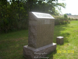
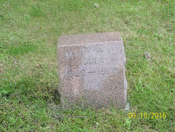
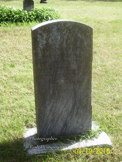
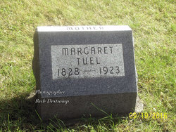
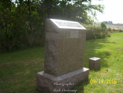
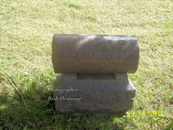
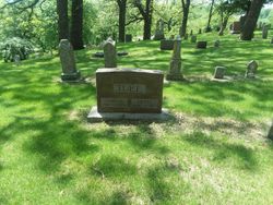
Mary E Tuel Ogborn
| Birth | : | 2 Oct 1856 Ohio, USA |
| Death | : | 27 Jul 1923 Rochester, Olmsted County, Minnesota, USA |
| Burial | : | Calvary Cemetery, Coal Grove, Lawrence County, USA |
| Coordinate | : | 38.5056000, -82.6474991 |
| Description | : | wife of Samuel E Ogborn |
frequently asked questions (FAQ):
-
Where is Mary E Tuel Ogborn's memorial?
Mary E Tuel Ogborn's memorial is located at: Calvary Cemetery, Coal Grove, Lawrence County, USA.
-
When did Mary E Tuel Ogborn death?
Mary E Tuel Ogborn death on 27 Jul 1923 in Rochester, Olmsted County, Minnesota, USA
-
Where are the coordinates of the Mary E Tuel Ogborn's memorial?
Latitude: 38.5056000
Longitude: -82.6474991
Family Members:
Parent
Spouse
Siblings
Children
Flowers:
Nearby Cemetories:
1. Calvary Cemetery
Coal Grove, Lawrence County, USA
Coordinate: 38.5056000, -82.6474991
2. Woodland Cemetery
Ironton, Lawrence County, USA
Coordinate: 38.5069008, -82.6502991
3. Newton Cemetery
Coal Grove, Lawrence County, USA
Coordinate: 38.5024986, -82.6492004
4. Zoar Cemetery
Coal Grove, Lawrence County, USA
Coordinate: 38.5010986, -82.6280975
5. Sheeler Cemetery
Bellefonte, Greenup County, USA
Coordinate: 38.4962279, -82.6763369
6. Beech Grove Cemetery
Ashland, Boyd County, USA
Coordinate: 38.4802610, -82.6483320
7. W.D. Kelly Cemetery
Ironton, Lawrence County, USA
Coordinate: 38.5284700, -82.6661200
8. Crabtree Family Cemetery
Kitts Hill, Lawrence County, USA
Coordinate: 38.4907280, -82.6183990
9. Calvary Catholic Cemetery
Ashland, Boyd County, USA
Coordinate: 38.4742012, -82.6519012
10. Bethesda Cemetery
Ashland, Boyd County, USA
Coordinate: 38.4721500, -82.6491510
11. Pollard Cemetery
Ashland, Boyd County, USA
Coordinate: 38.4717920, -82.6617380
12. Community Cemetery
Deering, Lawrence County, USA
Coordinate: 38.5010250, -82.6005050
13. Sacred Heart Cemetery
Ironton, Lawrence County, USA
Coordinate: 38.5447006, -82.6631012
14. Gallaher Cemetery
Ashland, Boyd County, USA
Coordinate: 38.4622820, -82.6524240
15. Hecla Cemetery
Hecla, Lawrence County, USA
Coordinate: 38.5492700, -82.6433400
16. Sugar Creek Cemetery
Ironton, Lawrence County, USA
Coordinate: 38.5467700, -82.6282000
17. Bellefonte Memorial Gardens
Flatwoods, Greenup County, USA
Coordinate: 38.5153008, -82.7052994
18. Palmer Cemetery
Flatwoods, Greenup County, USA
Coordinate: 38.5141983, -82.7055969
19. Ashland Cemetery
Ashland, Boyd County, USA
Coordinate: 38.4597850, -82.6313980
20. Allen-Smallwood Cemetery
Boyd County, USA
Coordinate: 38.4625772, -82.6754914
21. Brickey Cemetery
Boyd County, USA
Coordinate: 38.4563900, -82.6577800
22. McKnight Cemetery
Boyd County, USA
Coordinate: 38.4777985, -82.7022018
23. Henry Cemetery
Ironton, Lawrence County, USA
Coordinate: 38.5476190, -82.6855840
24. Woods Family Cemetery
Deering, Lawrence County, USA
Coordinate: 38.5172300, -82.5819900

