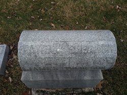
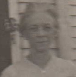
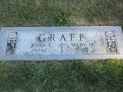
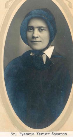
Mary Margaret “Minnie” Shearon Graff
| Birth | : | 25 Mar 1877 Ohio, USA |
| Death | : | 26 Sep 1968 Lakeview, Logan County, Ohio, USA |
| Burial | : | Grady City Cemetery, Grady, Curry County, USA |
| Coordinate | : | 34.8260000, -103.3105000 |
| Plot | : | Section: K Plot: 11 |
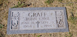
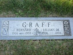
| Description | : | Mary Margaret "Minnie" Shearon was the eldest child of James Shearon and Teresa O'Neill Shearon. She married John Casper Graff, and of this union were three children: James Bernard Graff, Geraldine Graff Benigar, and John Cyril Graff. Minnie loved Euchre parties, prayed the rosary every day, and went to "the fights" on Fridays. |
frequently asked questions (FAQ):
-
Where is Mary Margaret “Minnie” Shearon Graff's memorial?
Mary Margaret “Minnie” Shearon Graff's memorial is located at: Grady City Cemetery, Grady, Curry County, USA.
-
When did Mary Margaret “Minnie” Shearon Graff death?
Mary Margaret “Minnie” Shearon Graff death on 26 Sep 1968 in Lakeview, Logan County, Ohio, USA
-
Where are the coordinates of the Mary Margaret “Minnie” Shearon Graff's memorial?
Latitude: 34.8260000
Longitude: -103.3105000
Family Members:
Parent
Spouse
Siblings
Children
Flowers:
Nearby Cemetories:
1. Grady City Cemetery
Grady, Curry County, USA
Coordinate: 34.8260000, -103.3105000
2. Wheatland Cemetery
Wheatland, Quay County, USA
Coordinate: 34.9091988, -103.3367004
3. Stockton Cemetery
Forrest, Quay County, USA
Coordinate: 34.7649000, -103.4962000
4. Hollene Cemetery
Hollene, Curry County, USA
Coordinate: 34.7774950, -103.0994210
5. Brown Cemetery
Quay County, USA
Coordinate: 34.9439011, -103.4863968
6. Mitchell Cemetery
Bellview, Curry County, USA
Coordinate: 34.9150009, -103.0991974
7. Plain Cemetery
Quay County, USA
Coordinate: 34.8363000, -103.5477000
8. Puerto Cemetery
Quay County, USA
Coordinate: 34.9207993, -103.5355988
9. Beevers Cemetery
Forrest, Quay County, USA
Coordinate: 34.7714005, -103.5658035
10. Roach Cemetery
Curry County, USA
Coordinate: 34.6618996, -103.4828033
11. Pleasant Valley Cemetery
Quay County, USA
Coordinate: 35.0424995, -103.3311005
12. Boot Hill Cemetery
Quay County, USA
Coordinate: 35.0419006, -103.2397003
13. Allen Cemetery
Quay County, USA
Coordinate: 35.0120020, -103.1381030
14. Norton Cemetery
Norton, Quay County, USA
Coordinate: 34.9985000, -103.5163000
15. Field Cemetery
Field, Curry County, USA
Coordinate: 34.6618996, -103.5738983
16. San Jon Cemetery
San Jon, Quay County, USA
Coordinate: 35.1074982, -103.3281021
17. Bard Cemetery
Bard, Quay County, USA
Coordinate: 35.1209000, -103.2263000
18. Bobo Qualls Cemetery
Ranchvale, Curry County, USA
Coordinate: 34.5211670, -103.4501290
19. Reid Cemetery
Ranchvale, Curry County, USA
Coordinate: 34.4937440, -103.3188840
20. Prater Cemetery
Ragland, Quay County, USA
Coordinate: 34.8092003, -103.7268982
21. Yeakley Cemetery
Weber City, Curry County, USA
Coordinate: 34.6775017, -103.6881027
22. Pleasant Hill Cemetery
Pleasant Hill, Curry County, USA
Coordinate: 34.5349998, -103.0733032
23. Endee Cemetery
Quay County, USA
Coordinate: 35.1453018, -103.1247025
24. Apodaca Cemetery
Quay County, USA
Coordinate: 35.0297012, -103.6856003


