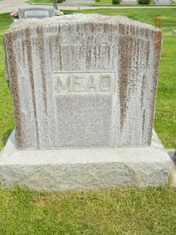
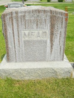
Mary Slade Mead
| Birth | : | 1866 |
| Death | : | 6 Sep 1924 Grand Island, Hall County, Nebraska, USA |
| Burial | : | Cozad Cemetery, Cozad, Dawson County, USA |
| Coordinate | : | 40.8605995, -99.9475021 |
| Description | : | Grand Island (Nebraska) Independent Monday, 8 September 1924 Mrs. Mary Mead, wife of H. C. Mead, of Cozad, Nebr., passed away at the St. Francis hospital in this city at 5:20 p.m. Saturday, following an extended illness of cancer trouble. She was 57 years. Besides her husband, she is survived by two sons, two daughters, and several brothers and sisters. The body was taken to Cozad for burial Sunday morning on No. 19, accompanied by the relatives. |
frequently asked questions (FAQ):
-
Where is Mary Slade Mead's memorial?
Mary Slade Mead's memorial is located at: Cozad Cemetery, Cozad, Dawson County, USA.
-
When did Mary Slade Mead death?
Mary Slade Mead death on 6 Sep 1924 in Grand Island, Hall County, Nebraska, USA
-
Where are the coordinates of the Mary Slade Mead's memorial?
Latitude: 40.8605995
Longitude: -99.9475021
Family Members:
Parent
Spouse
Siblings
Children
Flowers:
Nearby Cemetories:
1. Cozad Cemetery
Cozad, Dawson County, USA
Coordinate: 40.8605995, -99.9475021
2. Grace Cemetery
Cozad, Dawson County, USA
Coordinate: 40.8602982, -99.8644028
3. Cottonwood Cemetery
Dawson County, USA
Coordinate: 40.9322014, -99.9197006
4. Saint Johns Lutheran Cemetery
Lexington, Dawson County, USA
Coordinate: 40.9019012, -99.8458023
5. Buffalo Grove Presbyterian Church Cemetery
Buffalo, Dawson County, USA
Coordinate: 40.8721000, -99.8270000
6. Fairview Cemetery
Dawson County, USA
Coordinate: 40.7719002, -99.9955978
7. Rhinehart Cemetery
Cozad, Dawson County, USA
Coordinate: 40.9599000, -99.9105000
8. Willow Island Cemetery
Cozad, Dawson County, USA
Coordinate: 40.9016991, -100.0755997
9. Walnut Grove Cemetery
Cozad, Dawson County, USA
Coordinate: 40.9763985, -99.9944000
10. Block Cemetery
Cozad, Dawson County, USA
Coordinate: 40.9753000, -100.0085000
11. Hillside Cemetery
Dawson County, USA
Coordinate: 40.8946991, -99.7869034
12. Hewitt Cemetery
Lexington, Dawson County, USA
Coordinate: 40.8588982, -99.7769012
13. Pleasant View Cemetery
Dawson County, USA
Coordinate: 40.8293991, -100.1132965
14. Grand View Cemetery
Gothenburg, Dawson County, USA
Coordinate: 40.9474983, -100.0907974
15. Rose Hill Cemetery
Dawson County, USA
Coordinate: 40.9888992, -99.8442001
16. Gothenburg Cemetery
Gothenburg, Dawson County, USA
Coordinate: 40.9458008, -100.1397018
17. Christ Lutheran Church Cemetery
Gothenburg, Dawson County, USA
Coordinate: 40.9623000, -100.1287000
18. First United Methodist Church Columbarium
Lexington, Dawson County, USA
Coordinate: 40.7810000, -99.7397000
19. Greenwood Cemetery
Lexington, Dawson County, USA
Coordinate: 40.7956467, -99.7286682
20. Buffalo First Lutheran Cemetery Old
Buffalo, Dawson County, USA
Coordinate: 41.0100000, -99.8152000
21. Buffalo First Lutheran Cemetery New
Buffalo, Dawson County, USA
Coordinate: 41.0127000, -99.8150000
22. Salem Cemetery
Dawson County, USA
Coordinate: 40.9961014, -100.1268997
23. Saint Anns Cemetery
Lexington, Dawson County, USA
Coordinate: 40.7789001, -99.7114029
24. Eustis East Cemetery
Eustis, Frontier County, USA
Coordinate: 40.6714100, -100.0199780

