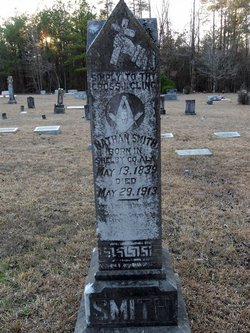
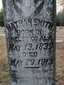
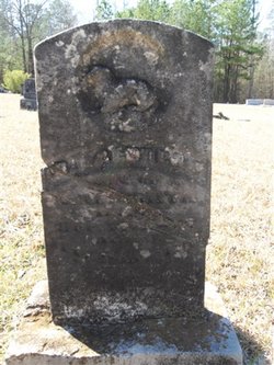
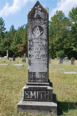
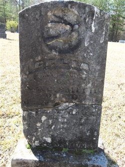
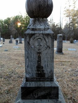
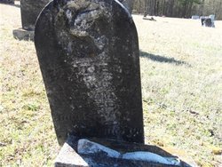
Nathan Smith
| Birth | : | 13 May 1839 Shelby County, Alabama, USA |
| Death | : | 29 May 1913 Rison, Cleveland County, Arkansas, USA |
| Burial | : | St. Johns Lutheran Cemetery, Ebenezer, Light Regional Council, Australia |
| Coordinate | : | -34.4219800, 139.0321700 |
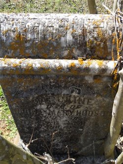
| Description | : | From the Cleveland County Herald June 5, 1913 NATHAN SMITH PASSED FROM DEATH UNTO LIFE In memory of Nathan Smith who was born in Shelby county, Ala., May 13, 1839, came to Arkansas with his parents in the year 1849, and grew up to manhood in three miles of Rison, where he died May 29, 1913, making his life 74 years and 16 days. "Uncle Nath" as we called him was married to Miss Caroline Hudson in the year 1860, and 11 children were born to them, seven sons and four daughters, five of them still living, J.E., Nick, and Charles... Read More |
frequently asked questions (FAQ):
-
Where is Nathan Smith's memorial?
Nathan Smith's memorial is located at: St. Johns Lutheran Cemetery, Ebenezer, Light Regional Council, Australia.
-
When did Nathan Smith death?
Nathan Smith death on 29 May 1913 in Rison, Cleveland County, Arkansas, USA
-
Where are the coordinates of the Nathan Smith's memorial?
Latitude: -34.4219800
Longitude: 139.0321700
Family Members:
Parent
Spouse
Siblings
Children
Flowers:
Nearby Cemetories:
1. St. Johns Lutheran Cemetery
Ebenezer, Light Regional Council, Australia
Coordinate: -34.4219800, 139.0321700
2. St. Thomas Lutheran Cemetery
Stockwell, Barossa Council, Australia
Coordinate: -34.4339210, 139.0517240
3. Neukirch Pilgrim Pioneer Cemetery
Ebenezer, Light Regional Council, Australia
Coordinate: -34.4047840, 139.0114220
4. Neukirch New Lutheran Cemetery
Ebenezer, Light Regional Council, Australia
Coordinate: -34.4017400, 138.9993300
5. Light Pass Immanuel Lutheran Cemetery
Light Pass, Barossa Council, Australia
Coordinate: -34.4700750, 139.0262580
6. Strait Gate Lutheran Cemetery
Light Pass, Barossa Council, Australia
Coordinate: -34.4703300, 139.0223100
7. Nuriootpa Cemetery
Nuriootpa, Barossa Council, Australia
Coordinate: -34.4660790, 138.9841150
8. Angaston Cemetery
Angaston, Barossa Council, Australia
Coordinate: -34.4925700, 139.0201900
9. Angaston Old Pioneer Cemetery
Angaston, Barossa Council, Australia
Coordinate: -34.4999740, 139.0471820
10. Gruenberg Lutheran Cemetery
Moculta, Barossa Council, Australia
Coordinate: -34.4784200, 139.0993200
11. St. John's Catholic Cemetery
Kapunda, Light Regional Council, Australia
Coordinate: -34.3712190, 138.9546610
12. St Pauls Lutheran Cemetery St Kitts
Dutton, Mid Murray Council, Australia
Coordinate: -34.3526300, 139.0846700
13. St Petri Lutheran Cemetery
Dutton, Mid Murray Council, Australia
Coordinate: -34.3521921, 139.0849513
14. Truro Cemetery
Truro, Mid Murray Council, Australia
Coordinate: -34.4083390, 139.1325470
15. Siegersdorf Cemetery
Dorrien, Barossa Council, Australia
Coordinate: -34.4976200, 138.9844600
16. Greenock Public Cemetery
Greenock, Light Regional Council, Australia
Coordinate: -34.4541700, 138.9284000
17. Gnadenfrei Lutheran Cemetery
Marananga, Light Regional Council, Australia
Coordinate: -34.4824300, 138.9336200
18. Gnadenberg Lutheran Congregational Cemetery
Moculta, Barossa Council, Australia
Coordinate: -34.4949450, 139.1229200
19. Angas Family Vault
Angaston, Barossa Council, Australia
Coordinate: -34.5247400, 139.0661200
20. St. John's Lutheran Church Cemetery
Dutton, Mid Murray Council, Australia
Coordinate: -34.3609500, 139.1430320
21. Zum Schmalen Weg Lutheran Cemetery
Nain, Light Regional Council, Australia
Coordinate: -34.4519000, 138.9034000
22. Nain Lutheran Cemetery
Nain, Light Regional Council, Australia
Coordinate: -34.4505600, 138.9000300
23. Kapunda Christ Church Anglican Cemetery
Kapunda, Light Regional Council, Australia
Coordinate: -34.3483370, 138.9275760
24. Cambrai Lone Grave
Truro, Mid Murray Council, Australia
Coordinate: -34.3906000, 139.1656000

