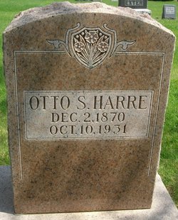
Otto Simon Harre
| Birth | : | 2 Dec 1870 Franklin, Sheboygan County, Wisconsin, USA |
| Death | : | 20 Oct 1931 Baxter, Jasper County, Iowa, USA |
| Burial | : | Lesje Cemetery, Roth, Bottineau County, USA |
| Coordinate | : | 48.9664688, -100.8221359 |
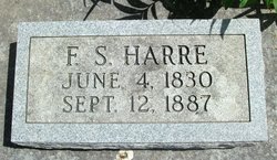
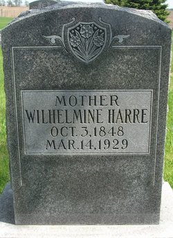
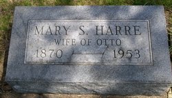
| Description | : | Husband of Mary Sophia Kaiser Harre, son of Fredrick and Wilhelmine Meiekort Harre |
frequently asked questions (FAQ):
-
Where is Otto Simon Harre's memorial?
Otto Simon Harre's memorial is located at: Lesje Cemetery, Roth, Bottineau County, USA.
-
When did Otto Simon Harre death?
Otto Simon Harre death on 20 Oct 1931 in Baxter, Jasper County, Iowa, USA
-
Where are the coordinates of the Otto Simon Harre's memorial?
Latitude: 48.9664688
Longitude: -100.8221359
Family Members:
Parent
Spouse
Siblings
Children
Flowers:
Nearby Cemetories:
1. Lesje Cemetery
Roth, Bottineau County, USA
Coordinate: 48.9664688, -100.8221359
2. Zion Cemetery
Landa, Bottineau County, USA
Coordinate: 48.9375000, -100.8942032
3. Roth Grave Site
Roth, Bottineau County, USA
Coordinate: 48.9008369, -100.7966385
4. Landa Cemetery
Landa, Bottineau County, USA
Coordinate: 48.9077988, -100.9067001
5. Acheson Homestead Cemetery
Westhope, Bottineau County, USA
Coordinate: 48.9622620, -100.9804240
6. Mountain View Cemetery
Souris, Bottineau County, USA
Coordinate: 48.9014015, -100.6750031
7. Bethesda Cemetery
Souris, Bottineau County, USA
Coordinate: 48.9648933, -100.6333923
8. Westhope Cemetery
Westhope, Bottineau County, USA
Coordinate: 48.9094009, -100.9950027
9. Waskada Cemetery
Waskada, Southwestern Census Division, Canada
Coordinate: 49.0947200, -100.7806100
10. Swedish Lutheran Cemetery
Souris, Bottineau County, USA
Coordinate: 48.9858055, -100.6212158
11. Coultervale Cemetery
Coulter, Southwestern Census Division, Canada
Coordinate: 49.0580710, -101.0255330
12. Mouse River Lutheran Cemetery
Landa, Bottineau County, USA
Coordinate: 48.8067741, -100.8635788
13. Turtle Mountain Lutheran Cemetery
Carbury, Bottineau County, USA
Coordinate: 48.9219017, -100.5730972
14. Nedaros Cemetery
Landa, Bottineau County, USA
Coordinate: 48.7916985, -100.8407974
15. Emmanuel Lutheran Brethren Cemetery
Carbury, Bottineau County, USA
Coordinate: 48.9441872, -100.5558243
16. Goodlands Cemetery
Goodlands, Southwestern Census Division, Canada
Coordinate: 49.0874500, -100.6014700
17. Lyleton Cemetery
Lyleton, Southwestern Census Division, Canada
Coordinate: 49.0300320, -101.1489680
18. Inherred Lutheran Cemetery
Bottineau, Bottineau County, USA
Coordinate: 48.9209404, -100.4674301
19. Weeks Cemetery
Westhope, Bottineau County, USA
Coordinate: 48.8365800, -101.1251700
20. Medora Old Cemetery
Medora, Southwestern Census Division, Canada
Coordinate: 49.2082340, -100.7825910
21. Hamel Catholic Cemetery
Dunning, Bottineau County, USA
Coordinate: 48.7707930, -101.0599920
22. Betania Cemetery
Brander Township, Bottineau County, USA
Coordinate: 48.7480060, -101.0259820
23. Saint Paul Roman Catholic Cemetery
Deloraine, Southwestern Census Division, Canada
Coordinate: 49.0866860, -100.4711380
24. Dovre Lutheran Cemetery
Newburg, Bottineau County, USA
Coordinate: 48.7117690, -100.9069410

