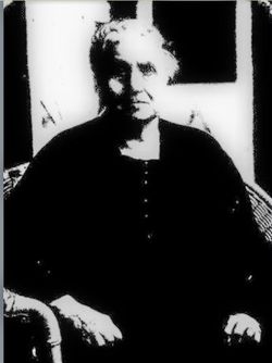
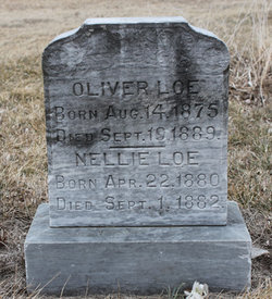
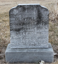
Ragnild “Rosy” Johnson Loe
| Birth | : | 17 Oct 1848 Norway |
| Death | : | 16 Sep 1943 Hoskins, Wayne County, Nebraska, USA |
| Burial | : | Norwegian Cemetery, Stanton, Stanton County, USA |
| Coordinate | : | 41.9171600, -97.2907160 |
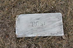
| Plot | : | Unmarked |
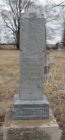
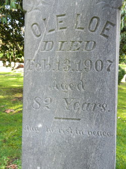
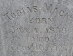
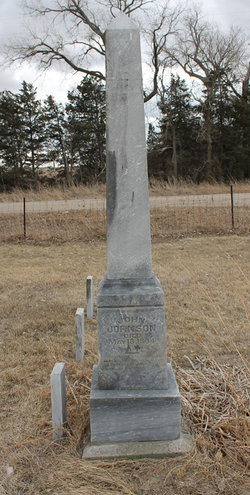
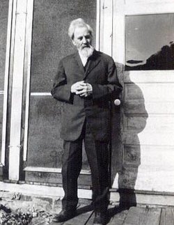
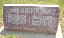
| Description | : | Ragnild married Ole O. Loe on July 20, 1873, then Ragnild married Tobias Mack on June 5, 1901, and then Carl Monthei on September 21, 1915 Carl Monthei is buried at Hoskins, Nebraska as Earl Manthei. In his first wife's obituary it has his name as Carl Monthei as well. Ragnild does not have a headstone. This came from her Obituary in the Stanton Newspaper that she was buried at the Norwegian Cemetery. Obituary: Stanton Register, September 23, 1943, Page 8, Column 4,5 and 6. |
frequently asked questions (FAQ):
-
Where is Ragnild “Rosy” Johnson Loe's memorial?
Ragnild “Rosy” Johnson Loe's memorial is located at: Norwegian Cemetery, Stanton, Stanton County, USA.
-
When did Ragnild “Rosy” Johnson Loe death?
Ragnild “Rosy” Johnson Loe death on 16 Sep 1943 in Hoskins, Wayne County, Nebraska, USA
-
Where are the coordinates of the Ragnild “Rosy” Johnson Loe's memorial?
Latitude: 41.9171600
Longitude: -97.2907160
Family Members:
Parent
Spouse
Siblings
Children
Flowers:
Nearby Cemetories:
1. Norwegian Cemetery
Stanton, Stanton County, USA
Coordinate: 41.9171600, -97.2907160
2. Zilmer Cemetery
Stanton, Stanton County, USA
Coordinate: 41.9464000, -97.2528000
3. Belz Cemetery
Stanton, Stanton County, USA
Coordinate: 41.9528008, -97.2619019
4. Stanton Cemetery
Stanton, Stanton County, USA
Coordinate: 41.9599991, -97.2121964
5. Hoosier Hollow Pioneer Cemetery
Stanton County, USA
Coordinate: 41.9900017, -97.2814026
6. Erychleb Cemetery
Stanton County, USA
Coordinate: 41.8664017, -97.2138977
7. Pleasant Valley Cemetery
Madison County, USA
Coordinate: 41.8877983, -97.3972015
8. Koch Cemetery
Stanton County, USA
Coordinate: 41.9855995, -97.1731033
9. Zander Cemetery
Stanton County, USA
Coordinate: 41.9888992, -97.1750031
10. Bethlehem Cemetery
Stanton County, USA
Coordinate: 42.0332985, -97.2241974
11. Zion Cemetery
Stanton County, USA
Coordinate: 42.0421982, -97.3638992
12. Christ Lutheran Cemetery
Stanton County, USA
Coordinate: 42.0433006, -97.3636017
13. Elkhorn Cemetery
Pilger, Stanton County, USA
Coordinate: 41.9899910, -97.1316720
14. Norfolk State Hospital New Cemetery
Norfolk, Madison County, USA
Coordinate: 42.0475500, -97.3698300
15. Kuehn Cemetery
Pilger, Stanton County, USA
Coordinate: 41.9682000, -97.1049000
16. Trinity Epsicopal Church Columbarium
Norfolk, Madison County, USA
Coordinate: 42.0317000, -97.4191000
17. Norfolk State Hospital Old Cemetery
Norfolk, Madison County, USA
Coordinate: 42.0535400, -97.3733100
18. Crown Hill Cemetery
Madison, Madison County, USA
Coordinate: 41.8171997, -97.4439011
19. Saint Leonards Cemetery
Madison, Madison County, USA
Coordinate: 41.8182983, -97.4464035
20. Barnes Reserve Cemetery
Madison, Madison County, USA
Coordinate: 41.8227500, -97.4582000
21. New Lutheran Cemetery
Norfolk, Madison County, USA
Coordinate: 42.0397900, -97.4223600
22. Prospect Hill Cemetery
Norfolk, Madison County, USA
Coordinate: 42.0407982, -97.4289017
23. Saint Paul Cemetery
Norfolk, Madison County, USA
Coordinate: 42.0438995, -97.4244003
24. Bega Cemetery
Stanton County, USA
Coordinate: 42.0736008, -97.2343979

