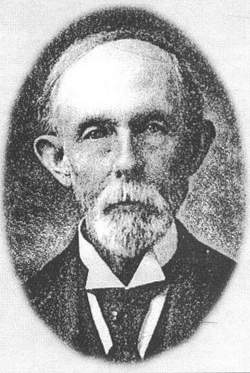
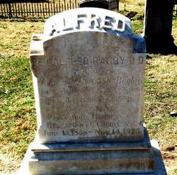
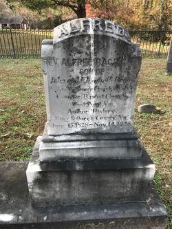
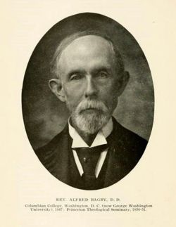
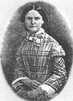
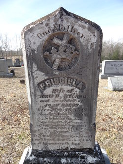
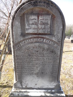
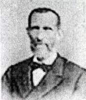
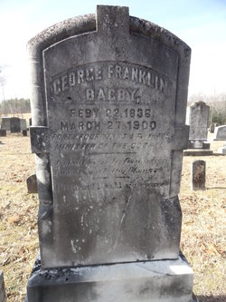
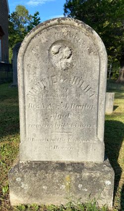
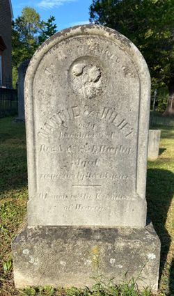
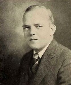
Rev Alfred Paul Bagby
| Birth | : | 15 Jun 1828 King and Queen County, Virginia, USA |
| Death | : | 14 Nov 1925 Richmond City, Virginia, USA |
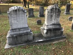
| Burial | : | Great Bend Cemetery, Great Bend, Barton County, USA |
| Coordinate | : | 38.3680992, -98.7996979 |
| Description | : | Born at Bunker Hill. He married Sarah Jane Pollard 8 May 1853. He was pastor of Mattaponi Church from 1855 to 1890. He founded the Baptist Church at West Point, Virginia. He was the author of the "History of King and Queen County, Virginia." He was a graduate of Columbian College and attended Princeton Theological Seminary. He earned a degree as Doctor of Divinity. He and Sarah Jane lived at the parsonage near Cumnor. They had six sons and two daughters. |
frequently asked questions (FAQ):
-
Where is Rev Alfred Paul Bagby's memorial?
Rev Alfred Paul Bagby's memorial is located at: Great Bend Cemetery, Great Bend, Barton County, USA.
-
When did Rev Alfred Paul Bagby death?
Rev Alfred Paul Bagby death on 14 Nov 1925 in Richmond City, Virginia, USA
-
Where are the coordinates of the Rev Alfred Paul Bagby's memorial?
Latitude: 38.3680992
Longitude: -98.7996979
Family Members:
Parent
Spouse
Siblings
Children
Flowers:
Nearby Cemetories:
1. Great Bend Cemetery
Great Bend, Barton County, USA
Coordinate: 38.3680992, -98.7996979
2. Great Bend Cemetery North
Barton County, USA
Coordinate: 38.3761800, -98.8019840
3. Dominican Sisters Resurrection Cemetery
Barton County, USA
Coordinate: 38.3665090, -98.7886990
4. Golden Belt Memorial Park
Great Bend, Barton County, USA
Coordinate: 38.4336014, -98.7850037
5. Hillcrest Memorial Park
Great Bend, Barton County, USA
Coordinate: 38.4361000, -98.7782974
6. Dundee Valley Cemetery
Great Bend, Barton County, USA
Coordinate: 38.3125130, -98.8778980
7. Everett Cemetery
Barton County, USA
Coordinate: 38.3767014, -98.9092026
8. Clarence Township Cemetery
Heizer, Barton County, USA
Coordinate: 38.4052590, -98.9230600
9. Walnut Valley Cemetery
Barton County, USA
Coordinate: 38.4846992, -98.8675003
10. Pleasant Ridge Cemetery
Radium, Stafford County, USA
Coordinate: 38.2475014, -98.8758011
11. Phillips Cemetery
Hoisington, Barton County, USA
Coordinate: 38.5065820, -98.8178650
12. Eden Valley Cemetery
Seward, Stafford County, USA
Coordinate: 38.2182999, -98.7853012
13. Bergthal Mennonite Cemetery
Pawnee Rock, Barton County, USA
Coordinate: 38.3053017, -98.9772034
14. Saint John the Evangelist Catholic Cemetery
Hoisington, Barton County, USA
Coordinate: 38.5214005, -98.7938995
15. Hoisington Cemetery
Hoisington, Barton County, USA
Coordinate: 38.5209300, -98.7693400
16. Saint Pauls Lutheran Cemetery
Albert, Barton County, USA
Coordinate: 38.3770000, -99.0005900
17. Patterson Cemetery
Barton County, USA
Coordinate: 38.4019012, -98.9963989
18. Saint Francis Xavier Cemetery
Seward, Stafford County, USA
Coordinate: 38.2038994, -98.8193970
19. Wilson Cemetery
Hoisington, Barton County, USA
Coordinate: 38.5361520, -98.7541870
20. Pawnee Rock State Historic Site
Pawnee Rock, Barton County, USA
Coordinate: 38.2721800, -98.9815300
21. Pawnee Rock Cemetery
Pawnee Rock, Barton County, USA
Coordinate: 38.2771988, -98.9858017
22. Lakin Comanche Cemetery
Ellinwood, Barton County, USA
Coordinate: 38.3486000, -98.5736000
23. Olivet Cemetery
Hoisington, Barton County, USA
Coordinate: 38.5438995, -98.8499985
24. Peace Lutheran Cemetery
Timken, Rush County, USA
Coordinate: 38.3837600, -99.0330750

