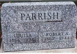
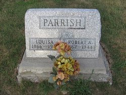
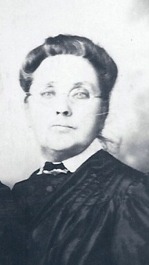
Robert Abraham Parrish
| Birth | : | 9 Jun 1862 Hitt, Scotland County, Missouri, USA |
| Death | : | 1944 Gorin, Scotland County, Missouri, USA |
| Burial | : | Pioneer Memorial Park, Bluewater, Cibola County, USA |
| Coordinate | : | 35.2430992, -107.9685974 |
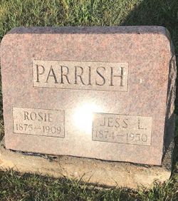
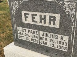
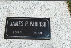
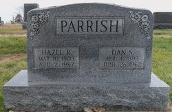
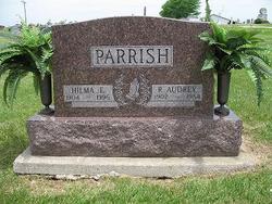
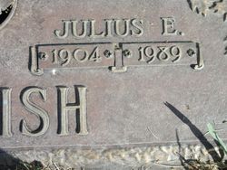
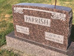
| Description | : | Father: Frank Parrish 1862-1944 Mother: Mary Jane Billups 1845-? Children: Elzora Parrish 1888-1951 Zella Blanche Parrish 1891-1985 Lucy Page Parrish 1894- James Robert Parrish 1895-1953 Daniel Snelling Parrish 1899- Roy Audrey Parrish 1902-1984 Julius Edwin Parrish 1904-1989 Cecil Wallace Parrish 1907-1964 |
frequently asked questions (FAQ):
-
Where is Robert Abraham Parrish's memorial?
Robert Abraham Parrish's memorial is located at: Pioneer Memorial Park, Bluewater, Cibola County, USA.
-
When did Robert Abraham Parrish death?
Robert Abraham Parrish death on 1944 in Gorin, Scotland County, Missouri, USA
-
Where are the coordinates of the Robert Abraham Parrish's memorial?
Latitude: 35.2430992
Longitude: -107.9685974
Family Members:
Parent
Spouse
Siblings
Children
Flowers:
Nearby Cemetories:
1. Pioneer Memorial Park
Bluewater, Cibola County, USA
Coordinate: 35.2430992, -107.9685974
2. Grants Memorial Park
Grants, Cibola County, USA
Coordinate: 35.1605500, -107.8365000
3. La Morada Cemetery
San Rafael, Cibola County, USA
Coordinate: 35.1125000, -107.8854000
4. San Rafael Cemetery
San Rafael, Cibola County, USA
Coordinate: 35.1093170, -107.8850430
5. Porter Cemetery
Cibola County, USA
Coordinate: 35.1018982, -107.8852997
6. Thoreau Cemetery
Thoreau, McKinley County, USA
Coordinate: 35.4082450, -108.2066630
7. San Mateo Cemetery
San Mateo, Cibola County, USA
Coordinate: 35.3310570, -107.6425840
8. Tinaja Cemetery
Tinaja, Cibola County, USA
Coordinate: 35.0904800, -108.2688900
9. McCartys Cemetery
McCartys, Cibola County, USA
Coordinate: 35.0611430, -107.6716590
10. Borrego Pass Cemetery
McKinley County, USA
Coordinate: 35.5711550, -108.0172970
11. San Fidel Cemetery
San Fidel, Cibola County, USA
Coordinate: 35.0821991, -107.5986023
12. Ethridge Family Cemetery
San Fidel, Cibola County, USA
Coordinate: 35.0827655, -107.5982033
13. Acomita Cemetery
Acomita, Cibola County, USA
Coordinate: 35.0507590, -107.5950070
14. El Morro Cemetery
Cibola County, USA
Coordinate: 35.0170000, -108.3470000
15. Budville Cemetery
Cibola County, USA
Coordinate: 35.0785000, -107.5242000
16. New York Cemetery
New York, Cibola County, USA
Coordinate: 35.0575000, -107.5333000
17. Laguna-Acoma Baptist Indian Mission Cemetery
Cubero, Cibola County, USA
Coordinate: 35.0670731, -107.5255031
18. Cubero Cemetery
Cubero, Cibola County, USA
Coordinate: 35.0786000, -107.5093000
19. Mormon Colony Cemetery
Cibola County, USA
Coordinate: 35.1730995, -108.4661026
20. Seama Village Cemetery
Seama, Cibola County, USA
Coordinate: 35.0367630, -107.5255470
21. Ramah Cemetery
Ramah, McKinley County, USA
Coordinate: 35.1258011, -108.4950027
22. Paraje Cemetery
Paraje, Cibola County, USA
Coordinate: 35.0456009, -107.4708023
23. Crownpoint Cemetery
Crownpoint, McKinley County, USA
Coordinate: 35.6757630, -108.1533320
24. Casa Blanca Cemetery
Casa Blanca, Cibola County, USA
Coordinate: 35.0416000, -107.4616000

