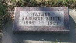
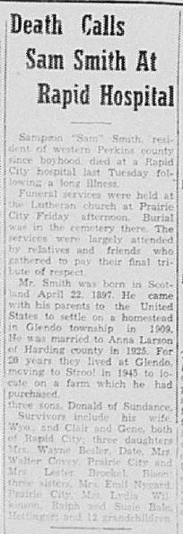
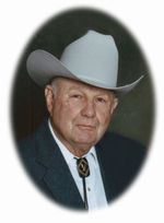
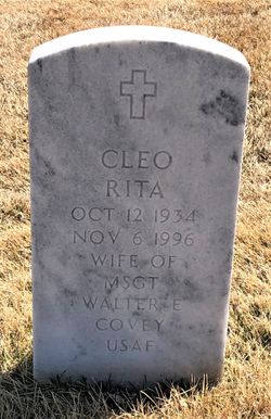
Sampson “Sam” Smith
| Birth | : | 22 Apr 1897 Scotland |
| Death | : | 1957 Rapid City, Pennington County, South Dakota, USA |
| Burial | : | Prairie City Cemetery, Prairie City, Perkins County, USA |
| Coordinate | : | 45.5307190, -102.8171290 |
frequently asked questions (FAQ):
-
Where is Sampson “Sam” Smith's memorial?
Sampson “Sam” Smith's memorial is located at: Prairie City Cemetery, Prairie City, Perkins County, USA.
-
When did Sampson “Sam” Smith death?
Sampson “Sam” Smith death on 1957 in Rapid City, Pennington County, South Dakota, USA
-
Where are the coordinates of the Sampson “Sam” Smith's memorial?
Latitude: 45.5307190
Longitude: -102.8171290
Family Members:
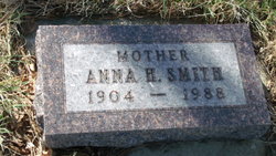
Spouse
Children
Flowers:
Nearby Cemetories:
1. Prairie City Cemetery
Prairie City, Perkins County, USA
Coordinate: 45.5307190, -102.8171290
2. Henry Bingaman Cemetery
Perkins County, USA
Coordinate: 45.5886002, -102.9499969
3. Scion Cemetery
Perkins County, USA
Coordinate: 45.6680984, -102.9068985
4. Slim Buttes Cemetery
Reva, Harding County, USA
Coordinate: 45.5452030, -103.0336800
5. South Grand River Cemetery
Perkins County, USA
Coordinate: 45.6321983, -102.9997025
6. Holland Center Cemetery
Lodgepole, Perkins County, USA
Coordinate: 45.7347000, -102.7246400
7. Slim Buttes Battlefield Monument
Reva, Harding County, USA
Coordinate: 45.5434110, -103.1247460
8. Fredlund Cemetery
Perkins County, USA
Coordinate: 45.7188988, -102.6585999
9. Duck Creek Lutheran Cemetery
Perkins County, USA
Coordinate: 45.7756780, -102.7772550
10. Bison Cemetery
Bison, Perkins County, USA
Coordinate: 45.5452995, -102.4563980
11. Saint Eulalia Cemetery
Harding County, USA
Coordinate: 45.7178001, -103.0635986
12. Date Cemetery
Bison, Perkins County, USA
Coordinate: 45.3111000, -102.6311035
13. Pleasant Valley German Baptiste Cemetery
Perkins County, USA
Coordinate: 45.6974800, -102.5182000
14. Pleasant Ridge Cemetery
Shadehill, Perkins County, USA
Coordinate: 45.6974983, -102.5177994
15. Bethany Cemetery
Perkins County, USA
Coordinate: 45.8046989, -102.8199997
16. Lodgepole Cemetery
Lodgepole, Perkins County, USA
Coordinate: 45.8047400, -102.6678140
17. Ralph Lutheran Cemetery
Ralph, Harding County, USA
Coordinate: 45.7767730, -103.0658130
18. Ruby Cemetery
Perkins County, USA
Coordinate: 45.2125015, -102.9067001
19. Peace Valley Cemetery
Ralph, Harding County, USA
Coordinate: 45.8375450, -102.9835650
20. Ellingson Zion Cemetery
Perkins County, USA
Coordinate: 45.8713989, -102.8375015
21. Immanuel Lutheran Cemetery
Zeona, Perkins County, USA
Coordinate: 45.1937800, -102.9178200
22. Norwegian Cemetery
Perkins County, USA
Coordinate: 45.6972008, -102.3735962
23. Golden Valley Cemetery
Ralph, Harding County, USA
Coordinate: 45.8849900, -102.9432250
24. Rosebud Lutheran Cemetery
Shadehill, Perkins County, USA
Coordinate: 45.7356500, -102.3629000

