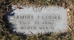
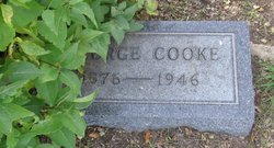
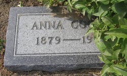
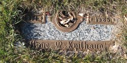
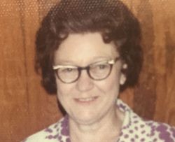
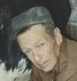
Samuel J Cooke
| Birth | : | 2 Jan 1917 Big Springs, Deuel County, Nebraska, USA |
| Death | : | 2 Nov 1982 Big Sandy, Chouteau County, Montana, USA |
| Burial | : | Chelsea Cemetery, Butler County, USA |
| Coordinate | : | 37.9199982, -96.7667007 |
| Description | : | The following provided by Find A Grave contributor "Cara": Havre Daily News (MT), 3 Nov 1982 Samuel J. Cooke, 65, died Tuesday at the medical center in Big Sandy and funeral services will be conducted at 2 p.m. Friday in the Rohrer United Methodist Church with interment in Big Sandy cemetery. Mr. Cooke was born in Big Springs, Neb., Jan. 2, 1917. He was the son of George and Anna Cooke. The family came to the Big Sandy area in 1918 and farmed west of town. During World War II he was with the first contingent to leave Choteau county for... Read More |
frequently asked questions (FAQ):
-
Where is Samuel J Cooke's memorial?
Samuel J Cooke's memorial is located at: Chelsea Cemetery, Butler County, USA.
-
When did Samuel J Cooke death?
Samuel J Cooke death on 2 Nov 1982 in Big Sandy, Chouteau County, Montana, USA
-
Where are the coordinates of the Samuel J Cooke's memorial?
Latitude: 37.9199982
Longitude: -96.7667007
Family Members:
Parent
Siblings
Children
Flowers:
Nearby Cemetories:
1. Chelsea Cemetery
Butler County, USA
Coordinate: 37.9199982, -96.7667007
2. Bishop Cemetery
De Graff, Butler County, USA
Coordinate: 37.9116700, -96.8512800
3. Foster Cemetery
Butler County, USA
Coordinate: 37.8460999, -96.7975006
4. Ridgeway Cemetery
Butler County, USA
Coordinate: 37.9550018, -96.8557968
5. Seventh Day Advent Church Cemetery
Butler County, USA
Coordinate: 37.8830700, -96.6574500
6. Pontiac Cemetery
Pontiac, Butler County, USA
Coordinate: 37.8159600, -96.7339500
7. Butler County Poor Farm Cemetery
Prospect, Butler County, USA
Coordinate: 37.8167600, -96.8163700
8. Belle Vista Mausoleum
Butler County, USA
Coordinate: 37.8247600, -96.8402900
9. Belle Vista Cemetery
El Dorado, Butler County, USA
Coordinate: 37.8232994, -96.8403015
10. Trinity Episcopal Church Columbarium
El Dorado, Butler County, USA
Coordinate: 37.8155800, -96.8543900
11. Baker Cemetery
Butler County, USA
Coordinate: 37.8903008, -96.9321976
12. Sherman Cemetery
Butler County, USA
Coordinate: 37.7818985, -96.7985992
13. Sunset Lawns Cemetery
El Dorado, Butler County, USA
Coordinate: 37.8027992, -96.8778000
14. Walnut Valley Memorial Park
El Dorado, Butler County, USA
Coordinate: 37.8119011, -96.8985977
15. Cassoday Cemetery
Cassoday, Butler County, USA
Coordinate: 38.0433006, -96.6568985
16. Economy Cemetery
El Dorado, Butler County, USA
Coordinate: 37.7661018, -96.7343979
17. Eden Mennonite Cemetery
Butler County, USA
Coordinate: 38.0410000, -96.8958610
18. Ebenezer Methodist Cemetery
Butler County, USA
Coordinate: 38.0355830, -96.9142770
19. Blankinship Cemetery
Butler County, USA
Coordinate: 37.7817001, -96.6239014
20. Godfrey Cemetery
East El Dorado, Butler County, USA
Coordinate: 37.8397100, -96.9719000
21. Burns Catholic Cemetery
Burns, Marion County, USA
Coordinate: 38.0909600, -96.8775300
22. Burns Cemetery
Burns, Marion County, USA
Coordinate: 38.0921380, -96.8775270
23. Pleasant Center Cemetery
Potwin, Butler County, USA
Coordinate: 38.0431940, -96.9686110
24. McGill Cemetery
Potwin, Butler County, USA
Coordinate: 37.9188995, -97.0246964

