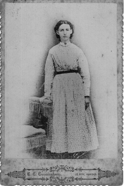
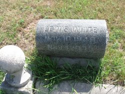
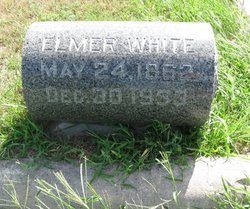
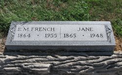
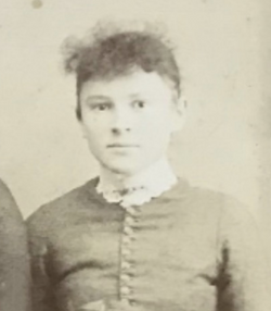
Sarah Catherine White Brooks
| Birth | : | 10 Dec 1850 Elk Grove, Lafayette County, Wisconsin, USA |
| Death | : | 11 May 1939 Concordia, Cloud County, Kansas, USA |
| Burial | : | Seymour Pioneer Park, Seymour, Mitchell Shire, Australia |
| Coordinate | : | -37.0219702, 145.1400664 |
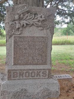
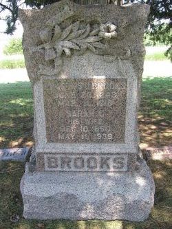
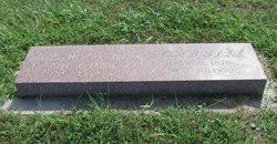
| Inscription | : | BROOKS || ERASTUS O. BROOKS | JUNE 26, 1843 | MAR. 11, 1918 || SARAH C. | DEC. 10, 1850 | MAY 11, 1939 |
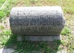
| Description | : | Wife of Erastus Brooks Sarah was captured by Cheyenne Indians on Aug 13 1868 and held captive for about 7 Months. Her father was killed a group of Cheyennes about the same time she was taken. Col Custer saved her along with the 7th Cavalry and 19th Kansas Calvery. |
frequently asked questions (FAQ):
-
Where is Sarah Catherine White Brooks's memorial?
Sarah Catherine White Brooks's memorial is located at: Seymour Pioneer Park, Seymour, Mitchell Shire, Australia.
-
When did Sarah Catherine White Brooks death?
Sarah Catherine White Brooks death on 11 May 1939 in Concordia, Cloud County, Kansas, USA
-
Where are the coordinates of the Sarah Catherine White Brooks's memorial?
Latitude: -37.0219702
Longitude: 145.1400664
Family Members:
Parent
Spouse
Siblings
Children
Flowers:
Nearby Cemetories:
1. Seymour Pioneer Park
Seymour, Mitchell Shire, Australia
Coordinate: -37.0219702, 145.1400664
2. Seymour Cemetery
Seymour, Mitchell Shire, Australia
Coordinate: -37.0384055, 145.1645832
3. Tallarook Cemetery
Tallarook, Mitchell Shire, Australia
Coordinate: -37.1003800, 145.0974500
4. Avenel Cemetery
Avenel, Strathbogie Shire, Australia
Coordinate: -36.8960060, 145.2307180
5. Broadford Cemetery
Broadford, Mitchell Shire, Australia
Coordinate: -37.1994039, 145.0464896
6. Tyaak Cemetery
Tyaak, Mitchell Shire, Australia
Coordinate: -37.2183420, 145.1371500
7. Nagambie Cemetery
Nagambie, Strathbogie Shire, Australia
Coordinate: -36.8022240, 145.1509860
8. Pyalong Cemetery
Pyalong, Mitchell Shire, Australia
Coordinate: -37.1045080, 144.8569300
9. Graytown Cemetery
Graytown, Strathbogie Shire, Australia
Coordinate: -36.8097200, 144.9566500
10. Yea Cemetery
Yea, Murrindindi Shire, Australia
Coordinate: -37.2243586, 145.4269834
11. Yea Lawn Cemetery
Yea, Murrindindi Shire, Australia
Coordinate: -37.2225517, 145.4294668
12. Longwood Cemetery
Longwood, Strathbogie Shire, Australia
Coordinate: -36.8187480, 145.4406050
13. Kilmore Catholic Cemetery
Kilmore, Mitchell Shire, Australia
Coordinate: -37.2942570, 144.9338420
14. Kilmore Public Cemetery
Kilmore, Mitchell Shire, Australia
Coordinate: -37.2963720, 144.9299520
15. Redcastle Cemetery
Redcastle, Greater Bendigo City, Australia
Coordinate: -36.7928180, 144.7867290
16. Heathcote Cemetery
Heathcote, Greater Bendigo City, Australia
Coordinate: -36.9194877, 144.6974200
17. Gobur Cemetery
Gobur, Murrindindi Shire, Australia
Coordinate: -37.0244670, 145.6120950
18. Whroo Cemetery
Whroo, Campaspe Shire, Australia
Coordinate: -36.6528100, 145.0270800
19. Cathkin Molesworth Cemetery
Cathkin, Murrindindi Shire, Australia
Coordinate: -37.1576940, 145.5994600
20. Yarck Cemetery
Yarck, Murrindindi Shire, Australia
Coordinate: -37.1013560, 145.6241020
21. Murchison Cemetery
Murchison, Greater Shepparton City, Australia
Coordinate: -36.6267319, 145.2230377
22. Wallan Cemetery
Wallan, Mitchell Shire, Australia
Coordinate: -37.4134560, 144.9889460
23. Lancefield Cemetery
Lancefield, Macedon Ranges Shire, Australia
Coordinate: -37.2928530, 144.7410480
24. Darraweit Guim Cemetery
Darraweith Guim, Macedon Ranges Shire, Australia
Coordinate: -37.4039471, 144.8925076

