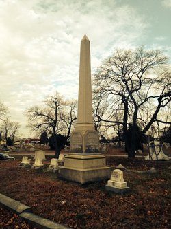
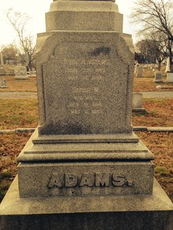
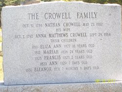
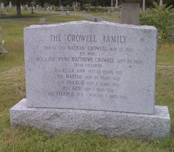
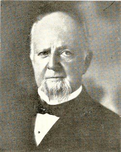
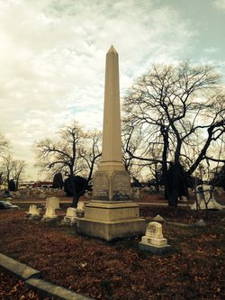
Sarah M. Crowell Adams
| Birth | : | 1814 |
| Death | : | 6 May 1887 |
| Burial | : | Big Flat Cemetery, Big Flat, Baxter County, USA |
| Coordinate | : | 36.0092010, -92.4067001 |
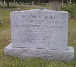
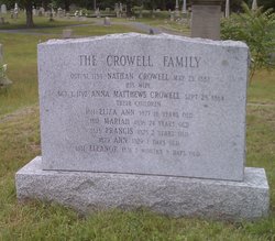
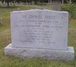
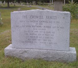
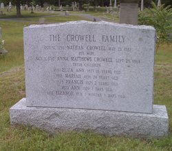
| Description | : | Daughter of Nathan Crowell & Annie ________ Crowell. |
frequently asked questions (FAQ):
-
Where is Sarah M. Crowell Adams's memorial?
Sarah M. Crowell Adams's memorial is located at: Big Flat Cemetery, Big Flat, Baxter County, USA.
-
When did Sarah M. Crowell Adams death?
Sarah M. Crowell Adams death on 6 May 1887 in
-
Where are the coordinates of the Sarah M. Crowell Adams's memorial?
Latitude: 36.0092010
Longitude: -92.4067001
Family Members:
Parent
Spouse
Siblings
Children
Flowers:
Nearby Cemetories:
1. Big Flat Cemetery
Big Flat, Baxter County, USA
Coordinate: 36.0092010, -92.4067001
2. Norman-Rorie Cemetery
Big Flat, Baxter County, USA
Coordinate: 36.0099590, -92.3577370
3. Seawright Cemetery
Big Flat, Baxter County, USA
Coordinate: 36.0489426, -92.3969116
4. Treat Cemetery
Searcy County, USA
Coordinate: 35.9686012, -92.4272003
5. Spring Creek Cemetery
Searcy County, USA
Coordinate: 36.0472946, -92.4437714
6. Wallis Cemetery
Alco, Stone County, USA
Coordinate: 35.9505900, -92.4052120
7. Freeman Cemetery
Stone County, USA
Coordinate: 35.9508018, -92.3897018
8. Landis Cemetery
Landis, Searcy County, USA
Coordinate: 35.9385986, -92.4408035
9. Farris Cemetery
Onia, Stone County, USA
Coordinate: 35.9303017, -92.3555984
10. Nancy Lindsey Cemetery
Fiftysix, Stone County, USA
Coordinate: 35.9882164, -92.2935715
11. Rorie Homeplace Cemetery
Fiftysix, Stone County, USA
Coordinate: 35.9946220, -92.2890190
12. Stevens Cemetery
Onia, Stone County, USA
Coordinate: 35.9594002, -92.3043976
13. Pordue Cemetery
Onia, Stone County, USA
Coordinate: 35.9254570, -92.3305130
14. McDaniel Cemetery
Thola, Searcy County, USA
Coordinate: 35.9000015, -92.4321976
15. Rock Creek Cemetery
Harriet, Searcy County, USA
Coordinate: 36.0285988, -92.5460968
16. Stevens Cemetery
Fiftysix, Stone County, USA
Coordinate: 35.9836006, -92.2677994
17. Spoonflat Cemetery
Fiftysix, Stone County, USA
Coordinate: 35.9838000, -92.2677000
18. Elm Springs Cemetery
Marion County, USA
Coordinate: 36.0877991, -92.5158005
19. Alco Cemetery
Alco, Stone County, USA
Coordinate: 35.8913994, -92.3783035
20. Passmore Cemetery
Thola, Searcy County, USA
Coordinate: 35.8885994, -92.4257965
21. Smithee Cemetery
Stone County, USA
Coordinate: 35.9199982, -92.3028030
22. Harmon Cemetery
Fiftysix, Stone County, USA
Coordinate: 35.9692190, -92.2511670
23. Scribner Cemetery
Searcy County, USA
Coordinate: 35.8894005, -92.4781036
24. Curtis Cemetery
McPhearson, Baxter County, USA
Coordinate: 36.1156006, -92.3011017

