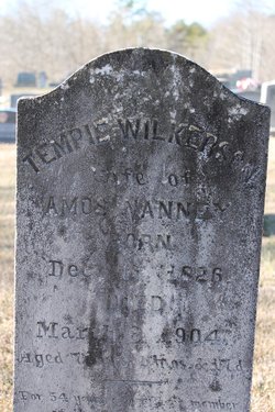
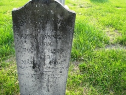
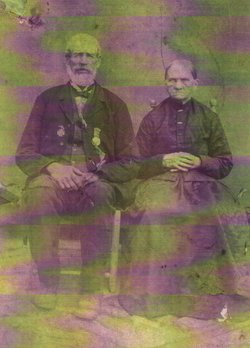
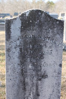
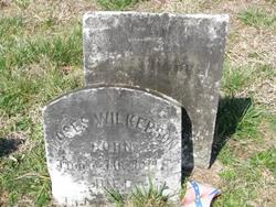
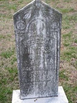
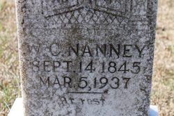
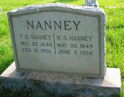
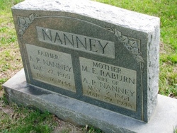
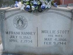
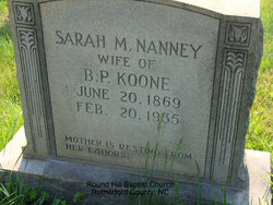
Temperance “Tempie” Wilkerson Nanney
| Birth | : | 16 Dec 1826 Union Mills, Rutherford County, North Carolina, USA |
| Death | : | 3 Mar 1904 Union Mills, Rutherford County, North Carolina, USA |
| Burial | : | Crawford Bay Cemetery, Crawford Bay, Central Kootenay Regional District, Canada |
| Coordinate | : | 49.6945390, -116.8138077 |
| Description | : | The Rutherfordton Tribune 4 Mar 1904 Death of Mrs. Nanney Mrs. Tempy Nanney, wife of Col. Amos Nanney died at her home near Cuba, at 4 o'clock this morning. Her health had been failing since about first of January but her rapid decline began about three weeks ago. She was the mother of thirteen children of whom eleven are living. Ten of these were present to see their mother die. Mrs. Nanney was in her 78th year and had lived an exemplary Christian life. She will be buried tomorrow at 11 o'clock at Round Hill church of which she has long been a... Read More |
frequently asked questions (FAQ):
-
Where is Temperance “Tempie” Wilkerson Nanney's memorial?
Temperance “Tempie” Wilkerson Nanney's memorial is located at: Crawford Bay Cemetery, Crawford Bay, Central Kootenay Regional District, Canada.
-
When did Temperance “Tempie” Wilkerson Nanney death?
Temperance “Tempie” Wilkerson Nanney death on 3 Mar 1904 in Union Mills, Rutherford County, North Carolina, USA
-
Where are the coordinates of the Temperance “Tempie” Wilkerson Nanney's memorial?
Latitude: 49.6945390
Longitude: -116.8138077
Family Members:
Parent
Spouse
Siblings
Children
Flowers:

Dau of Jethro Wilkerson and Mary Morgan. Your 3rd Great-Grandniece,
Left by Anonymous on 20 Aug 2009
Left by Anonymous on 04 Mar 2010

Left by Anonymous on 08 Aug 2010

Left by Anonymous on 02 Nov 2010

Left by Anonymous on 17 Dec 2010

Left by Anonymous on 09 Feb 2011

Left by Anonymous on 11 Apr 2011

Left by Anonymous on 21 Apr 2021
Nearby Cemetories:
1. Crawford Bay Cemetery
Crawford Bay, Central Kootenay Regional District, Canada
Coordinate: 49.6945390, -116.8138077
2. Gray Creek Cemetery
Gray Creek, Central Kootenay Regional District, Canada
Coordinate: 49.6259540, -116.7854990
3. Ainsworth Cemetery
Ainsworth Hot Springs, Central Kootenay Regional District, Canada
Coordinate: 49.7333330, -116.9094190
4. Balfour Cemetery
Balfour, Central Kootenay Regional District, Canada
Coordinate: 49.6283100, -116.9619100
5. All Saints Anglican Church Cemetery
Longbeach, Central Kootenay Regional District, Canada
Coordinate: 49.6161600, -117.0695900
6. Kaslo Cemetery
Kaslo, Central Kootenay Regional District, Canada
Coordinate: 49.9113100, -116.9329100
7. Boswell Cemetery
Boswell, Central Kootenay Regional District, Canada
Coordinate: 49.4552000, -116.7615000
8. Nelson Memorial Park
Nelson, Central Kootenay Regional District, Canada
Coordinate: 49.4765205, -117.2859268
9. Sandon Cemetery
Sandon, Central Kootenay Regional District, Canada
Coordinate: 49.9979190, -117.2545050
10. Slocan Village Cemetery
Slocan, Central Kootenay Regional District, Canada
Coordinate: 49.7607200, -117.4665700
11. Perry Siding Doukhobor Cemetery
Perrys, Central Kootenay Regional District, Canada
Coordinate: 49.6603300, -117.5072000
12. Porto Rico Doukhobor Cemetery
Porto Rico, Central Kootenay Regional District, Canada
Coordinate: 49.3262000, -117.2457830
13. New Denver Village Cemetery
New Denver, Central Kootenay Regional District, Canada
Coordinate: 49.9949600, -117.3654000
14. Argenta Cemetery
Argenta, Central Kootenay Regional District, Canada
Coordinate: 50.1693333, -116.9154333
15. Ymir Cemetery
Ymir, Central Kootenay Regional District, Canada
Coordinate: 49.2815230, -117.2055080
16. Winlaw Doukhobor Cemetery
Winlaw, Central Kootenay Regional District, Canada
Coordinate: 49.6013000, -117.5800000
17. Shoreacres Doukhobor Cemetery
Shoreacres, Central Kootenay Regional District, Canada
Coordinate: 49.4346820, -117.5231820
18. Kimberley Cemetery
Kimberley, East Kootenay Regional District, Canada
Coordinate: 49.6766700, -115.9746000
19. Salmo Doukhobor Cemetery
Salmo, Central Kootenay Regional District, Canada
Coordinate: 49.2307400, -117.2521700
20. Champion Creek Blagodatnoye Cemetery
Castlegar, Central Kootenay Regional District, Canada
Coordinate: 49.3042000, -117.4041900
21. Valley View Cemetery
Slocan, Central Kootenay Regional District, Canada
Coordinate: 49.5273200, -117.6327700
22. Slocan Park Doukhobor Cemetery
Slocan Park, Central Kootenay Regional District, Canada
Coordinate: 49.5274400, -117.6330200
23. Glade Plodorodnoye Cemetery
Glade, Central Kootenay Regional District, Canada
Coordinate: 49.3939200, -117.5365200
24. Marysville Cemetery
Marysville, East Kootenay Regional District, Canada
Coordinate: 49.6386900, -115.9513300

