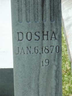
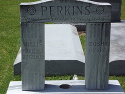
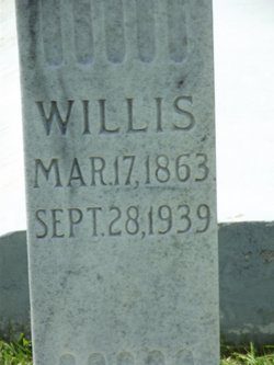
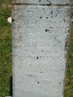
Theodosia “Dosha” Strother Perkins
| Birth | : | 6 Jan 1870 Louisiana, USA |
| Death | : | 29 Sep 1943 Pineville, Rapides Parish, Louisiana, USA |
| Burial | : | Dennard Cemetery, Dennard, Van Buren County, USA |
| Coordinate | : | 35.7667007, -92.5214005 |
frequently asked questions (FAQ):
-
Where is Theodosia “Dosha” Strother Perkins's memorial?
Theodosia “Dosha” Strother Perkins's memorial is located at: Dennard Cemetery, Dennard, Van Buren County, USA.
-
When did Theodosia “Dosha” Strother Perkins death?
Theodosia “Dosha” Strother Perkins death on 29 Sep 1943 in Pineville, Rapides Parish, Louisiana, USA
-
Where are the coordinates of the Theodosia “Dosha” Strother Perkins's memorial?
Latitude: 35.7667007
Longitude: -92.5214005
Family Members:
Spouse
Children
Nearby Cemetories:
1. Dennard Cemetery
Dennard, Van Buren County, USA
Coordinate: 35.7667007, -92.5214005
2. Hatchett Cemetery
Searcy County, USA
Coordinate: 35.7901000, -92.5373000
3. Watts Family Cemetery
Rumley, Searcy County, USA
Coordinate: 35.7997200, -92.5009600
4. Lunsford Cemetery
Rocky Hill, Van Buren County, USA
Coordinate: 35.7331009, -92.5543976
5. Pine Grove Cemetery
Van Buren County, USA
Coordinate: 35.7896996, -92.5793991
6. Salem Cemetery
Dennard, Van Buren County, USA
Coordinate: 35.7210999, -92.5736008
7. Plant Cemetery
Plant, Van Buren County, USA
Coordinate: 35.7237000, -92.4604000
8. Botkinburg Baptist Church Cemetery
Botkinburg, Van Buren County, USA
Coordinate: 35.6962013, -92.5157013
9. Elberta Cemetery
Leslie, Searcy County, USA
Coordinate: 35.8443985, -92.5233002
10. Half Moon Cemetery
Clinton, Van Buren County, USA
Coordinate: 35.7600000, -92.4258000
11. Leslie Cemetery
Leslie, Searcy County, USA
Coordinate: 35.8372002, -92.5625000
12. Kuykendall Cemetery
Searcy County, USA
Coordinate: 35.8382988, -92.4756012
13. Woolum Cemetery
Van Buren County, USA
Coordinate: 35.7083015, -92.6066971
14. Nubbin Hill Cemetery
Leslie, Searcy County, USA
Coordinate: 35.8266983, -92.6219025
15. Shady Grove Cemetery
Searcy County, USA
Coordinate: 35.7578011, -92.6477966
16. Baldwin Hill Cemetery
Searcy County, USA
Coordinate: 35.8610992, -92.5736008
17. Lexington Cemetery
Red River Township, Van Buren County, USA
Coordinate: 35.7199000, -92.4077000
18. Arnhart Cemetery
Van Buren County, USA
Coordinate: 35.6996994, -92.6228027
19. Holly Mountain Cemetery
Shirley, Van Buren County, USA
Coordinate: 35.6925011, -92.4238968
20. Campbell Cemetery
Searcy County, USA
Coordinate: 35.8698006, -92.4796982
21. Angora Cemetery
Flag, Stone County, USA
Coordinate: 35.7838740, -92.3887440
22. Sulphur Springs Cemetery
Wileys Cove, Searcy County, USA
Coordinate: 35.8636017, -92.5914001
23. Meadow Creek Cemetery
Arlberg, Stone County, USA
Coordinate: 35.7336080, -92.3891680
24. Mabrey Cemetery
Searcy County, USA
Coordinate: 35.8741989, -92.4713974

