| Birth | : | 7 May 1862 Graham, Nodaway County, Missouri, USA |
| Death | : | 29 Aug 1928 Nodaway County, Missouri, USA |
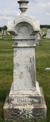
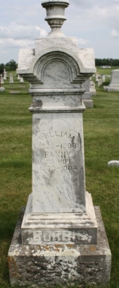
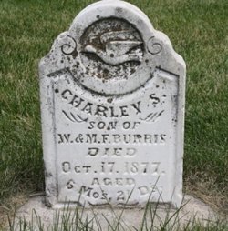
| Burial | : | Maple Grove Cemetery, Bluffton, Allen County, USA |
| Coordinate | : | 40.8931007, -83.9032974 |
| Plot | : | Sec 7, Row 25, N-S |
| Description | : | Father: William Burris, b: Tennessee Mother: Elizabeth Sanders, b: Virginia Missouri D/C #28067 |
frequently asked questions (FAQ):
-
Where is William Arthur Burris's memorial?
William Arthur Burris's memorial is located at: Maple Grove Cemetery, Bluffton, Allen County, USA.
-
When did William Arthur Burris death?
William Arthur Burris death on 29 Aug 1928 in Nodaway County, Missouri, USA
-
Where are the coordinates of the William Arthur Burris's memorial?
Latitude: 40.8931007
Longitude: -83.9032974
Family Members:
Parent
Spouse
Siblings
Children
Flowers:
Nearby Cemetories:
1. Maple Grove Cemetery
Bluffton, Allen County, USA
Coordinate: 40.8931007, -83.9032974
2. English Evangelical Lutheran Church Columbarium
Bluffton, Allen County, USA
Coordinate: 40.8916490, -83.8954460
3. Old Bluffton Cemetery
Bluffton, Allen County, USA
Coordinate: 40.8952570, -83.8881230
4. Shannon Cemetery
Bluffton, Allen County, USA
Coordinate: 40.8941994, -83.8878021
5. Ebenezer Cemetery
Bluffton, Allen County, USA
Coordinate: 40.8925018, -83.9381027
6. Evangelical Mennonite Cemetery
Bluffton, Allen County, USA
Coordinate: 40.9050100, -83.9382700
7. Old Mennonite Cemetery
Bluffton, Allen County, USA
Coordinate: 40.9061012, -83.9377975
8. Reformed Mennonite Cemetery
Bluffton, Allen County, USA
Coordinate: 40.9063774, -83.9378214
9. Emmanuel Cemetery
Allen County, USA
Coordinate: 40.8594284, -83.9373474
10. Gratz Cemetery
Beaverdam, Allen County, USA
Coordinate: 40.8582993, -83.9383011
11. Zion Cemetery
Bluffton, Allen County, USA
Coordinate: 40.8915530, -83.9625130
12. Hubbell Cemetery
Rockport, Allen County, USA
Coordinate: 40.8461510, -83.9202690
13. Thompson Cemetery
Orange Township, Hancock County, USA
Coordinate: 40.8624992, -83.8494034
14. Clymer Cemetery
Mount Cory, Hancock County, USA
Coordinate: 40.9500008, -83.8730011
15. Pleasant View Cemetery
Mount Cory, Hancock County, USA
Coordinate: 40.9514210, -83.8743760
16. Saint John Mennonite Church Cemetery
Pandora, Putnam County, USA
Coordinate: 40.9494019, -83.9392014
17. Pleasant Ridge Cemetery
Pandora, Putnam County, USA
Coordinate: 40.9522018, -83.9428024
18. Pleasant Hill Cemetery
Allen County, USA
Coordinate: 40.8269005, -83.9083023
19. Pandora Cemetery
Pandora, Putnam County, USA
Coordinate: 40.9444008, -83.9625015
20. Dally Cemetery
Orange Township, Hancock County, USA
Coordinate: 40.8308330, -83.8612820
21. Woodland Cemetery
Beaverdam, Allen County, USA
Coordinate: 40.8391991, -83.9627991
22. Schellbas Cemetery
Jenera, Hancock County, USA
Coordinate: 40.8778858, -83.8051441
23. Rockport Cemetery
Rockport, Allen County, USA
Coordinate: 40.8706900, -84.0012350
24. Hilty Cemetery
Pandora, Putnam County, USA
Coordinate: 40.9522018, -83.9693985


