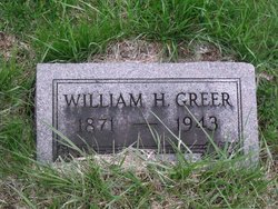
William Henry Greer
| Birth | : | 30 Apr 1871 Schuyler County, Missouri, USA |
| Death | : | 30 Oct 1943 Liberty Township, Schuyler County, Missouri, USA |
| Burial | : | Wesley Chapel Cemetery, Hilliard, Franklin County, USA |
| Coordinate | : | 40.0178261, -83.1001511 |
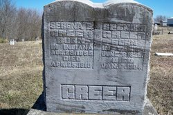
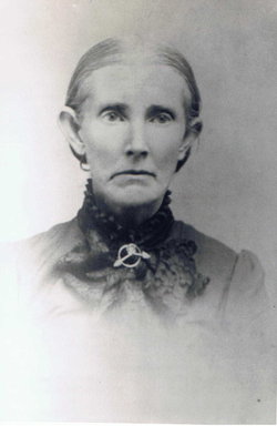
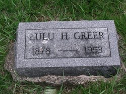
| Description | : | married, son of Spencer Greer and Serena Edwards, husband of Lulu Greer d. cert 43928 Missouri Death Certificate |
frequently asked questions (FAQ):
-
Where is William Henry Greer's memorial?
William Henry Greer's memorial is located at: Wesley Chapel Cemetery, Hilliard, Franklin County, USA.
-
When did William Henry Greer death?
William Henry Greer death on 30 Oct 1943 in Liberty Township, Schuyler County, Missouri, USA
-
Where are the coordinates of the William Henry Greer's memorial?
Latitude: 40.0178261
Longitude: -83.1001511
Family Members:
Parent
Spouse
Siblings
Children
Flowers:
Nearby Cemetories:
1. Wesley Chapel Cemetery
Hilliard, Franklin County, USA
Coordinate: 40.0178261, -83.1001511
2. Bickett-Richards Cemetery
Franklin County, USA
Coordinate: 40.0275307, -83.0903931
3. UALC Columbarium at Mill Run
Upper Arlington, Franklin County, USA
Coordinate: 40.0249330, -83.1168320
4. White Cemetery
Columbus, Franklin County, USA
Coordinate: 40.0028076, -83.0855637
5. Hart Cemetery
Hilliard, Franklin County, USA
Coordinate: 40.0273666, -83.1295013
6. Bill Moose Memorial
Upper Arlington, Franklin County, USA
Coordinate: 40.0463070, -83.0945450
7. Legg Walcutt Cemetery
Columbus, Franklin County, USA
Coordinate: 40.0326233, -83.0649872
8. Campbell Memorial Park
Franklin County, USA
Coordinate: 39.9897003, -83.0808029
9. First Community Church Memorial Garden
Marble Cliff, Franklin County, USA
Coordinate: 39.9834080, -83.0577350
10. Saint James Lutheran Church Cemetery
Hilliard, Franklin County, USA
Coordinate: 39.9807358, -83.1494675
11. Union Cemetery
Columbus, Franklin County, USA
Coordinate: 40.0277176, -83.0289001
12. Amaranth Abbey Mausoleum
Columbus, Franklin County, USA
Coordinate: 40.0172119, -83.0210114
13. State of Ohio Asylum for the Insane Cemetery
Columbus, Franklin County, USA
Coordinate: 39.9631194, -83.0632411
14. State Old Insane and Penal Cemetery
Columbus, Franklin County, USA
Coordinate: 39.9649277, -83.0575180
15. Kempton Cemetery
Franklin County, USA
Coordinate: 40.0588989, -83.0355988
16. State New Insane Cemetery
Columbus, Franklin County, USA
Coordinate: 39.9626990, -83.0539690
17. Davis Cemetery
Columbus, Franklin County, USA
Coordinate: 40.0839348, -83.1100082
18. Clinton Chapel Cemetery
Columbus, Franklin County, USA
Coordinate: 40.0252100, -83.0137730
19. Hiser Family Cemetery
Norwich Township, Franklin County, USA
Coordinate: 40.0537328, -83.1733803
20. Webster Cemetery
Clinton, Franklin County, USA
Coordinate: 40.0490930, -83.0182530
21. Camp Chase Confederate Cemetery
Columbus, Franklin County, USA
Coordinate: 39.9439011, -83.0761032
22. Sandy Corners Cemetery
Dublin, Franklin County, USA
Coordinate: 40.0800591, -83.1576233
23. Clover Cemetery
Alton, Franklin County, USA
Coordinate: 39.9619751, -83.1682434
24. Rings Cemetery
Hilliard, Franklin County, USA
Coordinate: 40.0628014, -83.1831970

