
| Birth | : | 2 Mar 1858 Benton County, Tennessee, USA |
| Death | : | 11 Jan 1926 Benton County, Tennessee, USA |
| Burial | : | Crooked Creek Cemetery, Faxon, Benton County, USA |
| Coordinate | : | 36.2738300, -87.9768790 |
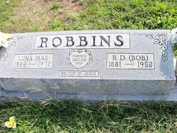
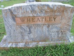
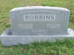
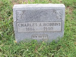
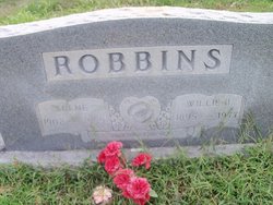
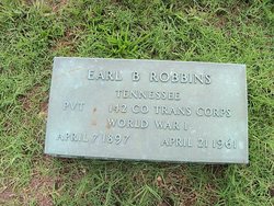
| Description | : | Spouse - Thomas Louella French Children - 1) Nannie Mae 2) Charles A. 3) J.A. 4) Ida Jane 5) Cecil 6) Willie Bee 7) Earl B. 8) Lois Madeline Marker - unmarked grave |
frequently asked questions (FAQ):
-
Where is William Miller Robbins's memorial?
William Miller Robbins's memorial is located at: Crooked Creek Cemetery, Faxon, Benton County, USA.
-
When did William Miller Robbins death?
William Miller Robbins death on 11 Jan 1926 in Benton County, Tennessee, USA
-
Where are the coordinates of the William Miller Robbins's memorial?
Latitude: 36.2738300
Longitude: -87.9768790
Family Members:
Parent

Spouse
Siblings
Children
Flowers:


Nearby Cemetories:
1. Crooked Creek Cemetery
Faxon, Benton County, USA
Coordinate: 36.2738300, -87.9768790
2. Lankford Cemetery
Big Sandy, Benton County, USA
Coordinate: 36.2738000, -87.9769000
3. Irish Cemetery
Faxon, Benton County, USA
Coordinate: 36.2704640, -87.9690880
4. Wilson Cemetery
Benton County, USA
Coordinate: 36.2844009, -87.9811020
5. Wynn Cemetery
Benton County, USA
Coordinate: 36.2619040, -87.9771790
6. Lindsey Cemetery
Benton County, USA
Coordinate: 36.2655983, -87.9989014
7. Andrews Cemetery
Houston County, USA
Coordinate: 36.2728004, -87.9403000
8. Keel Cemetery
Houston County, USA
Coordinate: 36.2458000, -87.9297028
9. Day Cemetery
Houston County, USA
Coordinate: 36.2952995, -87.9227982
10. Precinct Cemetery
Big Sandy, Benton County, USA
Coordinate: 36.3009500, -88.0284500
11. Mathis Cemetery
Houston County, USA
Coordinate: 36.3208008, -87.9539032
12. Mount Carmel Congregational Methodist Church Cemet
Big Sandy, Benton County, USA
Coordinate: 36.2869850, -88.0377230
13. Cane Creek Cemetery
McKinnon, Houston County, USA
Coordinate: 36.3032990, -87.9218979
14. Herndon Cemetery
Big Sandy, Benton County, USA
Coordinate: 36.3234460, -88.0032510
15. Daniel Cemetery
Benton County, USA
Coordinate: 36.3235970, -88.0031586
16. Haley Cemetery
Humphreys County, USA
Coordinate: 36.2378006, -87.9257965
17. Cooper Cemetery
Big Sandy, Benton County, USA
Coordinate: 36.2783480, -88.0462480
18. Grafried Cemetery
Houston County, USA
Coordinate: 36.3311005, -87.9591980
19. Lick Creek Church Cemetery
Big Sandy, Benton County, USA
Coordinate: 36.3214910, -88.0213010
20. Stockdale Cemetery
Big Sandy, Benton County, USA
Coordinate: 36.3243550, -88.0177690
21. Askew Cemetery
Houston County, USA
Coordinate: 36.2717018, -87.8993988
22. Pleasant Ridge Cemetery
Big Sandy, Benton County, USA
Coordinate: 36.2630390, -88.0556540
23. McAuley Cemetery
Houston County, USA
Coordinate: 36.2505800, -87.9022600
24. McKinnon Cemetery
McKinnon, Houston County, USA
Coordinate: 36.3155800, -87.9129400