
| Memorials | : | 4 |
| Location | : | Furnace, Estill County, USA |
| Coordinate | : | 37.7523020, -83.8876160 |
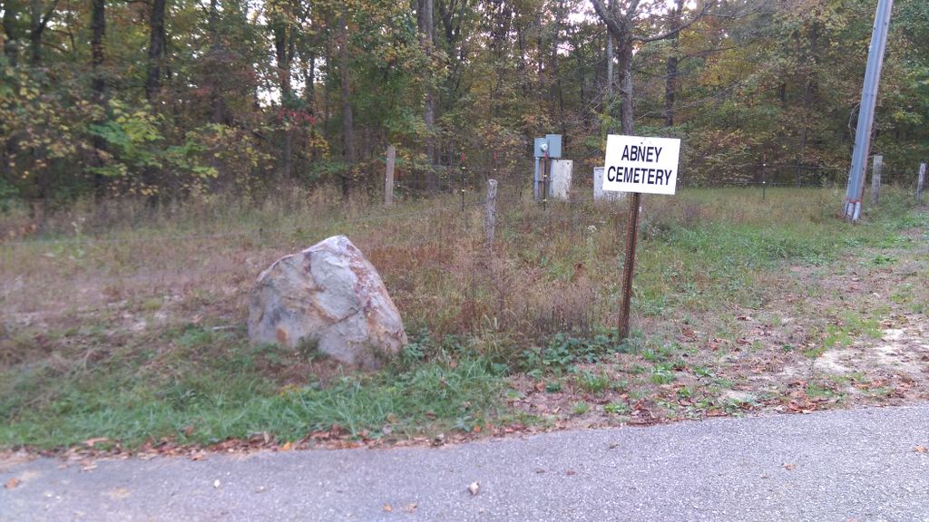
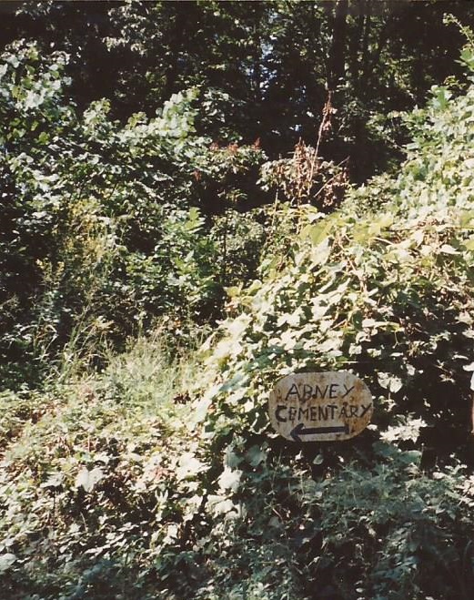
| Description | : | The cemetery is located on the east side of Abney Cemetery Road about 0.3 miles south of its intersection with Marbleyard Road. This cemetery is identified as cemetery FM6 (Abney Cemetery) on page 103 of Estill County, Kentucky Gravesites, Volume #1: North & East of the Ky. River, compiled and transcribed by James F. Kirby, Estill County Historical & Genealogical Society, 5 May 1981. |
frequently asked questions (FAQ):
-
Where is Abney Cemetery?
Abney Cemetery is located at Abney Cemetery Road Furnace, Estill County ,Kentucky , 40472USA.
-
Abney Cemetery cemetery's updated grave count on graveviews.com?
2 memorials
-
Where are the coordinates of the Abney Cemetery?
Latitude: 37.7523020
Longitude: -83.8876160
Nearby Cemetories:
1. Marcum Cemetery #2
Estill County, USA
Coordinate: 37.7456017, -83.8846970
2. Jones Family Farm Cemetery
Furnace, Estill County, USA
Coordinate: 37.7581300, -83.9041300
3. Antioch Cemetery
Estill County, USA
Coordinate: 37.7338982, -83.8927994
4. McIntosh Cemetery
Estill County, USA
Coordinate: 37.7310982, -83.8792038
5. Crowe Cemetery
Estill County, USA
Coordinate: 37.7282982, -83.8707962
6. Hood Cemetery
Powell County, USA
Coordinate: 37.7719421, -83.8605576
7. Howell Cemetery #1
Estill County, USA
Coordinate: 37.7411003, -83.8442001
8. Estes Cemetery
Clay City, Powell County, USA
Coordinate: 37.7888908, -83.8780594
9. Hall Cemetery
Powell County, USA
Coordinate: 37.7866669, -83.9066696
10. Brinegar Cemetery
Estill County, USA
Coordinate: 37.7192001, -83.9167023
11. Kennon Cemetery
Clay City, Powell County, USA
Coordinate: 37.7919006, -83.9008026
12. Billings Cemetery
Furnace, Estill County, USA
Coordinate: 37.7604990, -83.8346540
13. Arthur Cemetery
Estill County, USA
Coordinate: 37.7155991, -83.8546982
14. Wireman Cemetery
Furnace, Estill County, USA
Coordinate: 37.7608160, -83.8305380
15. Curtis Cemetery
Powell County, USA
Coordinate: 37.7766685, -83.8375015
16. Cow Creek Cemetery
Estill County, USA
Coordinate: 37.7066994, -83.9122009
17. Chestnut Stand Cemetery
Irvine, Estill County, USA
Coordinate: 37.7273700, -83.9432700
18. Ginter Cemetery
Powell County, USA
Coordinate: 37.8025017, -83.9055634
19. Mackey Cemetery
Estill County, USA
Coordinate: 37.7066994, -83.8553009
20. Daniel Shimfessel Cemetery
Powell County, USA
Coordinate: 37.8022232, -83.9150009
21. Gray Cemetery
Estill County, USA
Coordinate: 37.6972008, -83.8863983
22. Rife Cemetery
Knowlton, Powell County, USA
Coordinate: 37.7855568, -83.8308334
23. Miller Cemetery #2
Estill County, USA
Coordinate: 37.7094440, -83.9330560
24. Miller Cemetery #1
Irvine, Estill County, USA
Coordinate: 37.7089005, -83.9325027